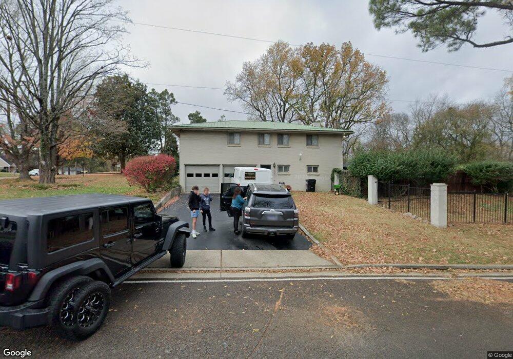
219 E Clark Blvd Murfreesboro, TN 37130
Estimated Value: $521,000 - $596,000
Studio
3
Baths
3,736
Sq Ft
$152/Sq Ft
Est. Value
About This Home
This home is located at 219 E Clark Blvd, Murfreesboro, TN 37130 and is currently estimated at $567,579, approximately $151 per square foot. 219 E Clark Blvd is a home located in Rutherford County with nearby schools including Northfield Elementary School, Oakland Middle School, and Siegel High School.
Ownership History
Date
Name
Owned For
Owner Type
Purchase Details
Closed on
Sep 2, 2003
Sold by
Mccullough and Melissa
Bought by
Loveless Mitchell A and Loveless Betty E
Current Estimated Value
Home Financials for this Owner
Home Financials are based on the most recent Mortgage that was taken out on this home.
Original Mortgage
$182,400
Interest Rate
6.13%
Create a Home Valuation Report for This Property
The Home Valuation Report is an in-depth analysis detailing your home's value as well as a comparison with similar homes in the area
Home Values in the Area
Average Home Value in this Area
Purchase History
| Date | Buyer | Sale Price | Title Company |
|---|---|---|---|
| Loveless Mitchell A | $228,000 | -- |
Source: Public Records
Mortgage History
| Date | Status | Borrower | Loan Amount |
|---|---|---|---|
| Closed | Loveless Mitchell A | $182,400 |
Source: Public Records
Tax History
| Year | Tax Paid | Tax Assessment Tax Assessment Total Assessment is a certain percentage of the fair market value that is determined by local assessors to be the total taxable value of land and additions on the property. | Land | Improvement |
|---|---|---|---|---|
| 2025 | $3,243 | $115,325 | $13,750 | $101,575 |
| 2024 | $3,263 | $115,325 | $13,750 | $101,575 |
| 2023 | $2,164 | $115,325 | $13,750 | $101,575 |
| 2022 | $1,864 | $115,325 | $13,750 | $101,575 |
| 2021 | $1,799 | $81,075 | $12,500 | $68,575 |
| 2020 | $1,799 | $81,075 | $12,500 | $68,575 |
| 2019 | $1,799 | $81,075 | $12,500 | $68,575 |
| 2018 | $2,472 | $81,075 | $0 | $0 |
| 2017 | $2,535 | $65,225 | $0 | $0 |
| 2016 | $2,535 | $65,225 | $0 | $0 |
| 2015 | $2,535 | $65,225 | $0 | $0 |
| 2014 | $1,622 | $65,225 | $0 | $0 |
| 2013 | -- | $64,825 | $0 | $0 |
Source: Public Records
Map
Nearby Homes
- 407 Winfrey Dr Unit 409
- 418 Winfrey Dr
- 1019 N Maple St Unit 2D
- 904 N Maple St
- 1022 Poplar Ave
- 1011 Owen Layne Dr
- 1306 Grantland Ave
- 824 N Maple St
- 1705 Martha Washington Way
- 807 N Maple St
- 1003 Allen Ave
- 3726 Elene Way
- 725 N Highland Ave
- 445 Jackson St
- 738 E Northfield Blvd
- 520 N Maple St Unit 3
- 520 N Maple St Unit 2
- 520 N Maple St Unit 1
- 3444 Shigo St
- 3502 Shigo St
- 215 E Clark Blvd
- 211 E Clark Blvd
- 305 E Clark Blvd
- 222 E Clark Blvd
- 218 E Clark Blvd
- 302 E Clark Blvd
- 207 E Clark Blvd
- 214 E Clark Blvd
- 1303 Hodge Dr
- 223 Hillside Ct
- 212 E Clark Blvd
- 1302 Hodge Dr
- 221 Hillside Ct
- 217 Hillside Ct
- 227 Hillside Ct
- 305 Hillside Ct
- 215 Hillside Ct
- 309 Hillside Ct
- 211 Hillside Ct
- 306 E Clark Blvd
Your Personal Tour Guide
Ask me questions while you tour the home.