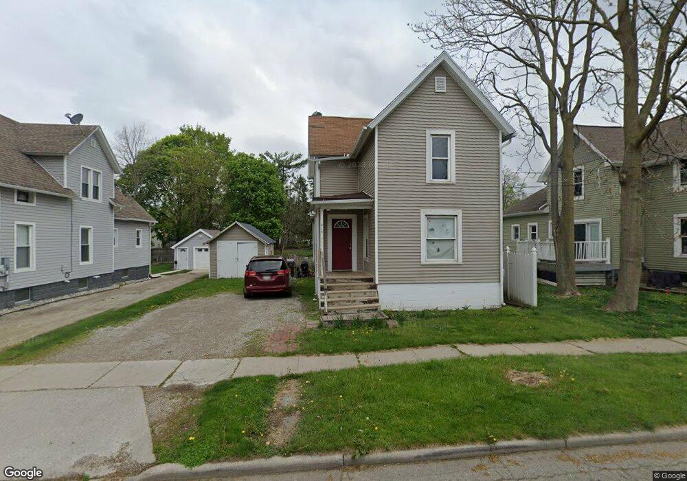
219 E Maple Ave Unit MAPLE Adrian, MI 49221
Estimated Value: $101,218 - $134,000
4
Beds
1
Bath
1,237
Sq Ft
$93/Sq Ft
Est. Value
About This Home
This home is located at 219 E Maple Ave Unit MAPLE, Adrian, MI 49221 and is currently estimated at $115,555, approximately $93 per square foot. 219 E Maple Ave Unit MAPLE is a home located in Lenawee County with nearby schools including Adrian High School, Berean Baptist Academy, and St. Joseph Academy.
Ownership History
Date
Name
Owned For
Owner Type
Purchase Details
Closed on
Apr 9, 2015
Sold by
Johnson Kenneth and Johnson Rose
Bought by
Miller Dennis Clark and Miller Julie Elizabeth
Current Estimated Value
Purchase Details
Closed on
Sep 29, 2010
Sold by
Usa Rental Fund Llc
Bought by
Miller Dennis and Miller Julie
Purchase Details
Closed on
Aug 9, 2010
Sold by
Fannie Mae
Bought by
Usa Rental Fund Llc
Purchase Details
Closed on
May 12, 2010
Sold by
First Federal Bank Of The Midwest
Bought by
Fannie Mae
Purchase Details
Closed on
Apr 20, 2010
Sold by
Hall Yvonne J and Jones Michael
Bought by
Fannie Mae
Purchase Details
Closed on
Feb 25, 2010
Sold by
Hall Yvonne J
Bought by
First Federal Bank Of The Midwest
Create a Home Valuation Report for This Property
The Home Valuation Report is an in-depth analysis detailing your home's value as well as a comparison with similar homes in the area
Home Values in the Area
Average Home Value in this Area
Purchase History
| Date | Buyer | Sale Price | Title Company |
|---|---|---|---|
| Miller Dennis Clark | -- | None Available | |
| Miller Dennis | $13,000 | Prestige Title Insurance Age | |
| Usa Rental Fund Llc | $6,000 | None Available | |
| Fannie Mae | -- | None Available | |
| Fannie Mae | $4,000 | None Available | |
| First Federal Bank Of The Midwest | $26,175 | None Available |
Source: Public Records
Tax History
| Year | Tax Paid | Tax Assessment Tax Assessment Total Assessment is a certain percentage of the fair market value that is determined by local assessors to be the total taxable value of land and additions on the property. | Land | Improvement |
|---|---|---|---|---|
| 2025 | $1,755 | $40,200 | $0 | $0 |
| 2024 | $13 | $37,000 | $0 | $0 |
| 2023 | $1,677 | $33,100 | $0 | $0 |
| 2022 | $1,379 | $30,000 | $0 | $0 |
| 2021 | $1,354 | $27,400 | $0 | $0 |
| 2020 | $1,346 | $25,100 | $0 | $0 |
| 2019 | $61,390 | $22,300 | $0 | $0 |
| 2018 | $1,298 | $26,162 | $0 | $0 |
| 2017 | $1,261 | $21,604 | $0 | $0 |
| 2016 | $1,251 | $20,136 | $0 | $0 |
| 2014 | -- | $20,700 | $0 | $0 |
Source: Public Records
Map
Nearby Homes
- 229 Clinton St
- 612 N Clinton St
- 417 E Hunt St
- 220 Comstock St
- 206 Ormsby St
- 803 Ormsby St
- 418 E Church St
- 717 Bristol St
- 126 E Albert St
- 228 W Church St
- 820 Mulberry St
- 924 Frank St
- 140 Greenly St
- 218 Greenly St
- 306 Summer St
- 603 S Center St
- 227 Greenly St
- 333 Greenly St
- 349 Greenly St
- 632 Division St
- 219 E Maple Ave
- 225 E Maple Ave
- 215 E Maple Ave
- 411 Clinton St
- 415 Clinton St
- 406 N Broad St
- 313 Clinton St
- 412 N Broad St
- 421 Clinton St
- 217 E Front St
- 418 Clinton St Unit CLINTON ST
- 418 Clinton St
- 416 N Broad St
- 304 E Maple Ave
- 225 E Front St
- 410 Clinton St
- 220 E Butler St
- 414 Clinton St
- 414 Clinton St Unit CLINTON ST
- 214 E Butler St
Your Personal Tour Guide
Ask me questions while you tour the home.