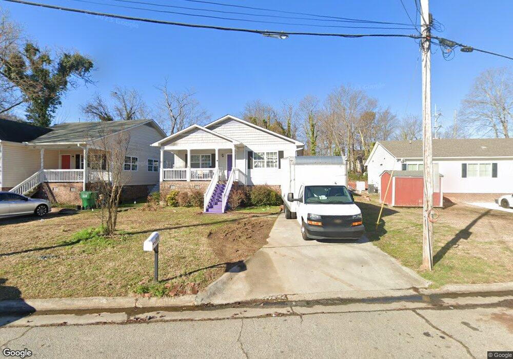
219 Hoskins St High Point, NC 27260
Greater High Point NeighborhoodEstimated Value: $204,000 - $238,000
4
Beds
2
Baths
1,428
Sq Ft
$151/Sq Ft
Est. Value
About This Home
This home is located at 219 Hoskins St, High Point, NC 27260 and is currently estimated at $215,060, approximately $150 per square foot. 219 Hoskins St is a home located in Guilford County with nearby schools including Parkview Village Elementary School, Southwest Guilford Middle School, and Southwest Guilford High School.
Ownership History
Date
Name
Owned For
Owner Type
Purchase Details
Closed on
Apr 4, 2011
Sold by
Habitat For Humanity Of High Point Archd
Bought by
Abagibe Abdi and Sora Habiba
Current Estimated Value
Home Financials for this Owner
Home Financials are based on the most recent Mortgage that was taken out on this home.
Original Mortgage
$25,000
Outstanding Balance
$14,972
Interest Rate
4.83%
Mortgage Type
Stand Alone Second
Estimated Equity
$200,088
Purchase Details
Closed on
Jul 9, 2010
Sold by
The City Of High Point
Bought by
Habitat For Humanity Of High Point Archd
Purchase Details
Closed on
Jun 4, 2010
Sold by
Boyles Norman B and Boyles Bennett
Bought by
The City Of High Point
Purchase Details
Closed on
Jul 13, 2004
Bought by
Boyles Norman B
Create a Home Valuation Report for This Property
The Home Valuation Report is an in-depth analysis detailing your home's value as well as a comparison with similar homes in the area
Home Values in the Area
Average Home Value in this Area
Purchase History
| Date | Buyer | Sale Price | Title Company |
|---|---|---|---|
| Abagibe Abdi | $105,000 | None Available | |
| Habitat For Humanity Of High Point Archd | -- | None Available | |
| The City Of High Point | $36,500 | None Available | |
| Boyles Norman B | -- | -- |
Source: Public Records
Mortgage History
| Date | Status | Borrower | Loan Amount |
|---|---|---|---|
| Open | Abagibe Abdi | $25,000 | |
| Open | Abagibe Abdi | $80,000 |
Source: Public Records
Tax History Compared to Growth
Tax History
| Year | Tax Paid | Tax Assessment Tax Assessment Total Assessment is a certain percentage of the fair market value that is determined by local assessors to be the total taxable value of land and additions on the property. | Land | Improvement |
|---|---|---|---|---|
| 2025 | $1,575 | $114,300 | $14,000 | $100,300 |
| 2024 | $1,575 | $114,300 | $14,000 | $100,300 |
| 2023 | $1,575 | $114,300 | $14,000 | $100,300 |
| 2022 | $1,541 | $114,300 | $14,000 | $100,300 |
| 2021 | $1,437 | $104,300 | $11,000 | $93,300 |
| 2020 | $1,437 | $104,300 | $11,000 | $93,300 |
| 2019 | $1,437 | $104,300 | $0 | $0 |
| 2018 | $1,430 | $104,300 | $0 | $0 |
| 2017 | $1,430 | $104,300 | $0 | $0 |
| 2016 | $1,474 | $105,100 | $0 | $0 |
| 2015 | $1,482 | $105,100 | $0 | $0 |
| 2014 | $1,507 | $105,100 | $0 | $0 |
Source: Public Records
Map
Nearby Homes
- 1528 Graves Ave
- 1711 Edmondson Place
- 1508 Boundary Ave
- 1515 Graves Ave
- 1602 Boundary Ave
- 1604 Boundary Ave
- 1606 Boundary Ave
- 1702 E Martin Luther King Junior Dr
- 208 Hay St
- 408 Meredith St
- 901 Circle Dr
- 1224 S Downing St
- 1725 Lamb Ave
- 1202 Dartmouth Ave
- 1418 Wendell Ave
- 828 Willow Place
- 1201 Pearson Place
- 413 Hay St
- 504 Meredith St
- 905 Mint Ave
- 217 Hoskins St
- 221 Hoskins St
- 1624 Graves Ave
- 1511 Davis Ave
- 1509 Davis Ave
- 1622 Graves Ave
- 1622 Graves Ave Unit B
- 1507 Davis Ave
- 218 Hoskins St
- 216 Hoskins St
- 214 Hoskins St
- 1505 Davis Ave
- 220 Hoskins St
- 1613 Graves Ave
- 1609 Graves Ave
- 1701 Graves Ave
- 212 Hoskins St
- 1703 Graves Ave
- 1516 Davis Ave
- 1514 Davis Ave