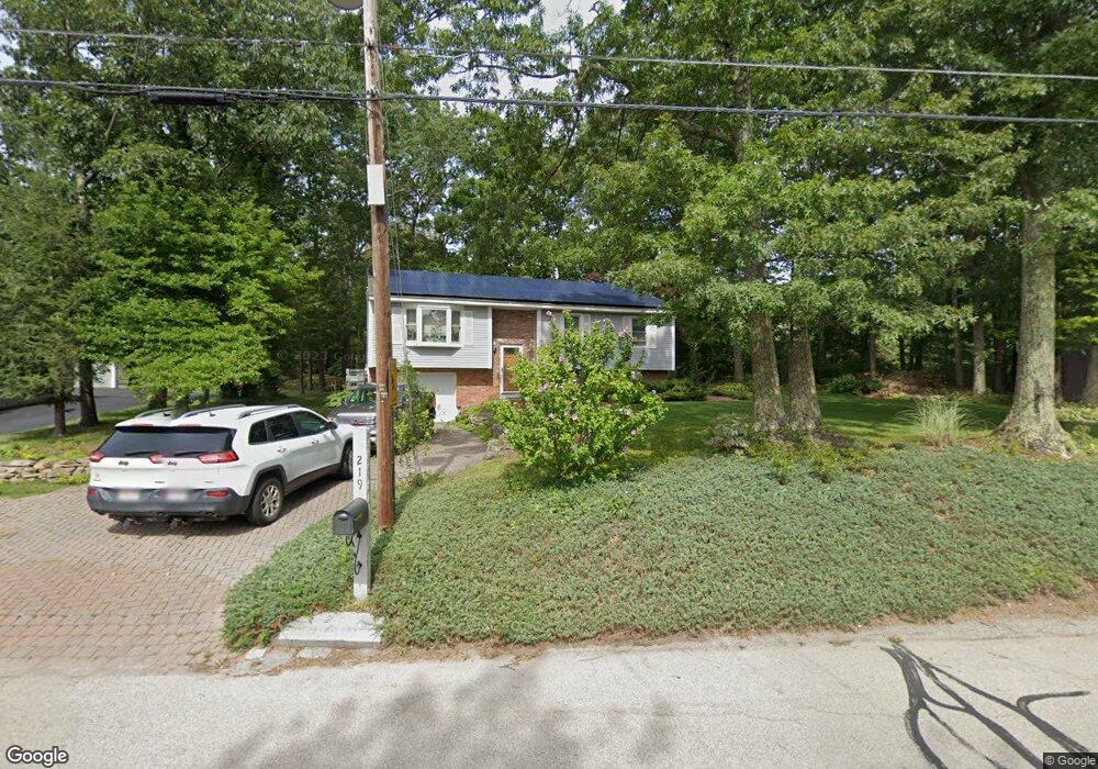
219 Lower Gore Rd Webster, MA 01570
Estimated Value: $452,000 - $520,000
3
Beds
1
Bath
1,752
Sq Ft
$272/Sq Ft
Est. Value
About This Home
This home is located at 219 Lower Gore Rd, Webster, MA 01570 and is currently estimated at $475,748, approximately $271 per square foot. 219 Lower Gore Rd is a home located in Worcester County with nearby schools including Park Avenue Elementary School, Webster Middle School, and Bartlett High School.
Ownership History
Date
Name
Owned For
Owner Type
Purchase Details
Closed on
Dec 1, 2016
Sold by
Mcgrath Nicholas J
Bought by
Mcgrath Nicholas and Mcgrath Donna
Current Estimated Value
Purchase Details
Closed on
May 3, 1991
Sold by
Ward Construction Co
Bought by
Mcgrath Nicholas J
Create a Home Valuation Report for This Property
The Home Valuation Report is an in-depth analysis detailing your home's value as well as a comparison with similar homes in the area
Home Values in the Area
Average Home Value in this Area
Purchase History
| Date | Buyer | Sale Price | Title Company |
|---|---|---|---|
| Mcgrath Nicholas | -- | -- | |
| Mcgrath Nicholas J | $112,900 | -- |
Source: Public Records
Mortgage History
| Date | Status | Borrower | Loan Amount |
|---|---|---|---|
| Previous Owner | Mcgrath Nicholas J | $152,900 | |
| Previous Owner | Mcgrath Nicholas J | $167,000 |
Source: Public Records
Tax History
| Year | Tax Paid | Tax Assessment Tax Assessment Total Assessment is a certain percentage of the fair market value that is determined by local assessors to be the total taxable value of land and additions on the property. | Land | Improvement |
|---|---|---|---|---|
| 2025 | $4,387 | $369,300 | $75,700 | $293,600 |
| 2024 | $4,370 | $358,800 | $72,900 | $285,900 |
| 2023 | $4,044 | $323,500 | $69,400 | $254,100 |
| 2022 | $3,917 | $280,600 | $67,400 | $213,200 |
| 2021 | $3,935 | $260,600 | $67,400 | $193,200 |
| 2020 | $3,494 | $253,800 | $67,400 | $186,400 |
| 2019 | $3,455 | $232,100 | $67,400 | $164,700 |
| 2018 | $4,118 | $220,400 | $67,400 | $153,000 |
| 2017 | $3,218 | $212,700 | $66,000 | $146,700 |
| 2016 | $3,098 | $204,600 | $62,800 | $141,800 |
| 2015 | $2,873 | $195,700 | $61,600 | $134,100 |
Source: Public Records
Map
Nearby Homes
- 16 Hilltop Dr
- 171 Upper Gore Rd
- 24 Cooper Rd
- 16 Black Point Rd
- 38 Colonial Rd
- 13 S Point Rd
- 117 New Rd
- 121 New Rd
- 3 Upper Gore Rd
- 1350 Thompson Rd
- 27 Douglas Rd
- 23 Lakeview Rd
- 60 Webster St
- 53-55 Point Pleasant Rd
- 45 Point Pleasant Rd
- 10 Indian Point Rd
- 2 Mary Rd
- 597 E Thompson Rd Unit Lot 10C
- 149 A Gore Rd
- 0 Thompson Rd
- 217 Lower Gore Rd
- 218 Lower Gore Rd
- 2 Hilltop Dr
- 220 Lower Gore Rd
- 216 Lower Gore Rd
- 222 Lower Gore Rd
- 215 Lower Gore Rd
- 214 Lower Gore Rd
- 224 Lower Gore Rd
- 6 Hilltop Dr
- 212 Lower Gore Rd
- 7 Hilltop Dr
- 10 Hilltop Dr
- 210 Lower Gore Rd
- 11 Hilltop Dr
- 87 High St
- 4 Longview Ave
- 78 High St
- 15 Hilltop Dr
- 208 Lower Gore Rd
Your Personal Tour Guide
Ask me questions while you tour the home.