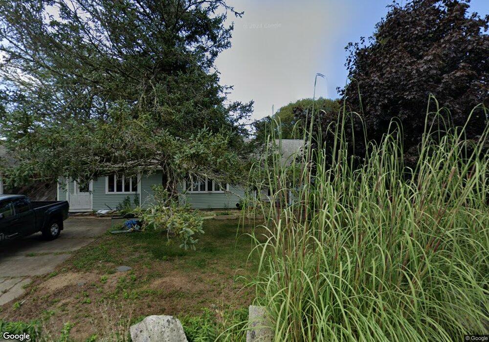
219 Lower Rd Brewster, MA 02631
Estimated Value: $828,000 - $989,000
3
Beds
2
Baths
1,468
Sq Ft
$614/Sq Ft
Est. Value
About This Home
This home is located at 219 Lower Rd, Brewster, MA 02631 and is currently estimated at $901,932, approximately $614 per square foot. 219 Lower Rd is a home located in Barnstable County with nearby schools including Stony Brook Elementary School, Eddy Elementary School, and Nauset Regional Middle School.
Create a Home Valuation Report for This Property
The Home Valuation Report is an in-depth analysis detailing your home's value as well as a comparison with similar homes in the area
Home Values in the Area
Average Home Value in this Area
Tax History
| Year | Tax Paid | Tax Assessment Tax Assessment Total Assessment is a certain percentage of the fair market value that is determined by local assessors to be the total taxable value of land and additions on the property. | Land | Improvement |
|---|---|---|---|---|
| 2025 | $4,566 | $663,600 | $368,800 | $294,800 |
| 2024 | $4,266 | $626,400 | $347,900 | $278,500 |
| 2023 | $3,942 | $563,900 | $310,600 | $253,300 |
| 2022 | $3,574 | $455,300 | $243,500 | $211,800 |
| 2021 | $3,429 | $399,700 | $211,700 | $188,000 |
| 2020 | $3,542 | $410,900 | $231,600 | $179,300 |
| 2019 | $3,581 | $417,400 | $241,800 | $175,600 |
| 2018 | $3,392 | $410,600 | $241,800 | $168,800 |
| 2017 | $3,280 | $390,900 | $241,800 | $149,100 |
| 2016 | $3,233 | $383,500 | $237,100 | $146,400 |
| 2015 | $3,117 | $377,400 | $232,400 | $145,000 |
Source: Public Records
Map
Nearby Homes
- 20 Spring Ln
- 53 Brier Ln
- 240 Robbins Hill Rd
- 1580 Main St
- 13 Sand Dollar Ln
- 13 Sand Dollar Ln Unit 20
- 11 Juniper Cir
- 11 Juniper Cir Unit 11
- 9 Cockle Way Unit 9
- 18 Juniper Cir Unit 18
- 0 Ridgewood Dr
- 279 Alden Dr
- 309 Great Fields Rd
- 1861 Main St
- 31 Hazel Ln
- 117 A p Newcomb Rd
- 98 Leland Rd
- 0 Canoe Pond Dr
- 80 Abby Rd
- 193 Yankee Dr
Your Personal Tour Guide
Ask me questions while you tour the home.