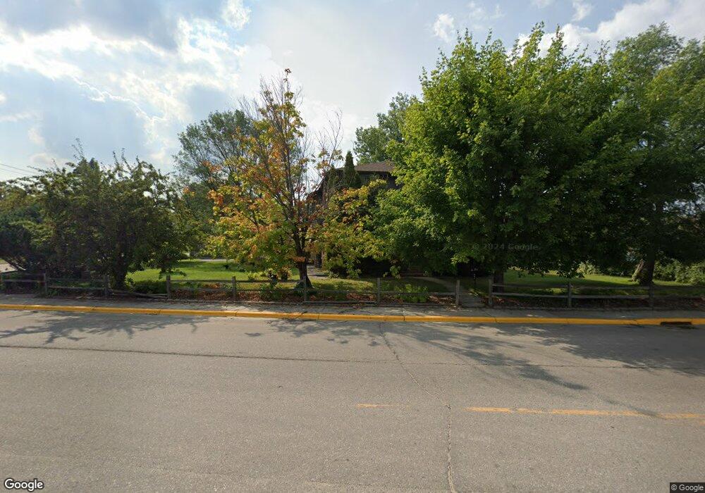
219 Main Ave S Thief River Falls, MN 56701
Estimated Value: $131,000 - $242,000
--
Bed
--
Bath
--
Sq Ft
0.4
Acres
About This Home
This home is located at 219 Main Ave S, Thief River Falls, MN 56701 and is currently estimated at $193,900. 219 Main Ave S is a home with nearby schools including Challenger Elementary School, Franklin Middle School, and Lincoln Senior High School.
Ownership History
Date
Name
Owned For
Owner Type
Purchase Details
Closed on
Sep 30, 2010
Sold by
Olson Theresa A
Bought by
Barstad Trent A
Current Estimated Value
Home Financials for this Owner
Home Financials are based on the most recent Mortgage that was taken out on this home.
Original Mortgage
$186,504
Interest Rate
4.25%
Mortgage Type
FHA
Purchase Details
Closed on
Apr 4, 2005
Sold by
The Salvation Army
Bought by
Olson Paul D
Home Financials for this Owner
Home Financials are based on the most recent Mortgage that was taken out on this home.
Original Mortgage
$60,000
Interest Rate
5.89%
Mortgage Type
FHA
Create a Home Valuation Report for This Property
The Home Valuation Report is an in-depth analysis detailing your home's value as well as a comparison with similar homes in the area
Home Values in the Area
Average Home Value in this Area
Purchase History
| Date | Buyer | Sale Price | Title Company |
|---|---|---|---|
| Barstad Trent A | $192,000 | None Available | |
| Olson Paul D | $60,000 | None Available |
Source: Public Records
Mortgage History
| Date | Status | Borrower | Loan Amount |
|---|---|---|---|
| Previous Owner | Barstad Trent A | $186,504 | |
| Previous Owner | Olson Paul D | $60,000 |
Source: Public Records
Tax History Compared to Growth
Tax History
| Year | Tax Paid | Tax Assessment Tax Assessment Total Assessment is a certain percentage of the fair market value that is determined by local assessors to be the total taxable value of land and additions on the property. | Land | Improvement |
|---|---|---|---|---|
| 2024 | $2,992 | $202,400 | $32,500 | $169,900 |
| 2023 | $2,858 | $202,400 | $0 | $0 |
| 2022 | $3,162 | $201,900 | $0 | $0 |
| 2021 | $3,216 | $189,000 | $0 | $0 |
| 2020 | $3,296 | $189,900 | $0 | $0 |
| 2019 | $3,144 | $199,500 | $0 | $0 |
| 2018 | $3,068 | $199,500 | $0 | $0 |
| 2017 | $2,946 | $196,500 | $0 | $0 |
| 2016 | $2,674 | $188,300 | $0 | $0 |
| 2014 | $2,482 | $166,100 | $0 | $0 |
| 2013 | $2,602 | $162,100 | $0 | $0 |
Source: Public Records
Map
Nearby Homes
- 117 Zeh St
- 422 Arnold Ave S
- 516 Duluth Ave S
- 0 U S 59
- 204 Conley Ave S
- 408 Main Ave N
- 111 Markley Ave S
- 212 Saint Paul Ave N
- 216 6th St W
- 519 Duluth Ave N
- 207 Kendall Ave S
- 608 Duluth Ave N
- 211 Kendall Ave N
- 603 Arnold Ave N
- TBD Oakland Park Rd
- 607 State Ave N
- 721 Labree Ave N
- 719 Horace Ave N
- 722 Kendall Ave S
- 517 Crocker Ave S
- 402 Main Ave S
- 216 Knight Ave S
- 303 Riverside Ave
- 102 Zeh St W
- 310 Riverside Ave
- 10444 190th St NW
- 312 Riverside Ave
- 313 Riverside Ave
- 314 Riverside Ave
- 301 Knight Ave S
- 319 Riverside Ave
- 320 Riverside Ave
- 324 Riverside Ave
- 315 Knight Ave S
- 319 Knight Ave S
- 323 Knight Ave S
- 328 Riverside Ave
- 224 Zeh St W
- 314 Duluth Ave S
- 402 Riverside Ave