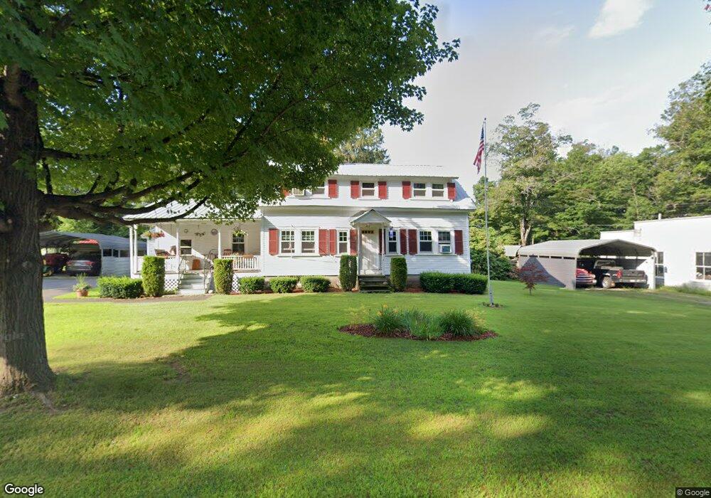
219 Maple St Northfield, MA 01360
Estimated Value: $339,000 - $369,000
2
Beds
1
Bath
1,510
Sq Ft
$237/Sq Ft
Est. Value
About This Home
This home is located at 219 Maple St, Northfield, MA 01360 and is currently estimated at $358,517, approximately $237 per square foot. 219 Maple St is a home located in Franklin County with nearby schools including Pioneer Valley Regional and Full Circle School.
Ownership History
Date
Name
Owned For
Owner Type
Purchase Details
Closed on
Jun 15, 2023
Sold by
Black John H and Black Donna L
Bought by
Black Int and Black B
Current Estimated Value
Purchase Details
Closed on
Aug 30, 2012
Sold by
James Peter R and Gruber Gary D
Bought by
Black John H and Black Donna L
Purchase Details
Closed on
Mar 19, 2004
Sold by
Black John H
Bought by
Black Donna L and Conley Donna L
Create a Home Valuation Report for This Property
The Home Valuation Report is an in-depth analysis detailing your home's value as well as a comparison with similar homes in the area
Home Values in the Area
Average Home Value in this Area
Purchase History
| Date | Buyer | Sale Price | Title Company |
|---|---|---|---|
| Black Int | -- | None Available | |
| Black John H | -- | -- | |
| Black Donna L | -- | -- |
Source: Public Records
Tax History
| Year | Tax Paid | Tax Assessment Tax Assessment Total Assessment is a certain percentage of the fair market value that is determined by local assessors to be the total taxable value of land and additions on the property. | Land | Improvement |
|---|---|---|---|---|
| 2025 | $3,915 | $282,900 | $63,300 | $219,600 |
| 2024 | $3,728 | $274,500 | $59,800 | $214,700 |
| 2023 | $3,391 | $249,700 | $59,300 | $190,400 |
| 2022 | $3,075 | $222,000 | $59,300 | $162,700 |
| 2021 | $2,869 | $178,000 | $59,300 | $118,700 |
| 2020 | $2,802 | $168,700 | $56,700 | $112,000 |
| 2019 | $2,796 | $160,700 | $54,100 | $106,600 |
| 2018 | $2,917 | $163,300 | $56,700 | $106,600 |
| 2017 | $2,686 | $163,300 | $56,700 | $106,600 |
| 2016 | $2,595 | $163,300 | $56,700 | $106,600 |
| 2015 | $2,784 | $167,200 | $56,700 | $110,500 |
Source: Public Records
Map
Nearby Homes
- 22 Old Turnpike Rd
- 12A Parker Ave Unit A
- 94 Main St
- 14 Wood Way
- 396 Mount Hermon Station Rd
- 719 Mount Hermon Station Rd
- 40 Shedd Rd
- 583 Burt Hill Rd
- 0 Sears St Unit 23759828
- Lot 14 Northfield Rd
- 0, Lot 2 Flower Hill Rd
- 0, Lot 1 Flower Hill Rd
- 339 Burt Hill Rd
- 0 Four Mile Brook Rd Unit 73462497
- 56 Whitetail Dr
- 259 Bolton Rd
- 0 State Rd
- 258 Bolton Rd
- 90 Bald Mountain Rd
- 0 Northfield Rd Unit 73441997
- 224 Maple St
- 877 Old Wendell Rd
- 0 Maple St & Old Wendell
- Lot E Old Wendell Rd
- 882 Old Wendell Rd
- 871 Old Wendell Rd
- 878 Old Wendell Rd
- 239 Maple St
- 863 Old Wendell Rd
- 868 Old Wendell Rd
- 229 Maple St
- 4 Saint Marys St
- 11 Saint Marys St
- 862 Old Wendell Rd
- 861 Old Wendell Rd
- 23 Saint Marys St
- 0 Gulf Rd
- 12 Saint Marys St
- 250 Maple St
- 852 Old Wendell Rd
Your Personal Tour Guide
Ask me questions while you tour the home.