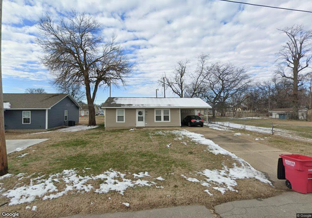
219 N Handy St Sikeston, MO 63801
Estimated Value: $65,313 - $82,000
--
Bed
--
Bath
816
Sq Ft
$89/Sq Ft
Est. Value
About This Home
This home is located at 219 N Handy St, Sikeston, MO 63801 and is currently estimated at $72,578, approximately $88 per square foot. 219 N Handy St is a home with nearby schools including Sikeston Senior High School, St. Francis Xavier School, and The Christian Academy.
Ownership History
Date
Name
Owned For
Owner Type
Purchase Details
Closed on
May 5, 2023
Sold by
Dockins Albert L and Dockins Kaylan M
Bought by
Akd Rentals Llc
Current Estimated Value
Home Financials for this Owner
Home Financials are based on the most recent Mortgage that was taken out on this home.
Original Mortgage
$672,890
Outstanding Balance
$160,894
Interest Rate
6.42%
Mortgage Type
New Conventional
Estimated Equity
-$88,316
Purchase Details
Closed on
May 3, 2018
Sold by
Raines Angela
Bought by
Dockins Albert L and Dockins Kaylan M
Purchase Details
Closed on
Dec 18, 2017
Sold by
Dockins Albert L and Dockins Kaylan M
Bought by
Raines Angela and Raines Ann B
Create a Home Valuation Report for This Property
The Home Valuation Report is an in-depth analysis detailing your home's value as well as a comparison with similar homes in the area
Home Values in the Area
Average Home Value in this Area
Purchase History
| Date | Buyer | Sale Price | Title Company |
|---|---|---|---|
| Akd Rentals Llc | $894,943 | National Title And Escrow | |
| Akd Rentals Llc | -- | National Title And Escrow | |
| Dockins Albert L | -- | Semo Title Company | |
| Raines Angela | -- | Semo Title Company |
Source: Public Records
Mortgage History
| Date | Status | Borrower | Loan Amount |
|---|---|---|---|
| Open | Akd Rentals Llc | $672,890 | |
| Closed | Akd Rentals Llc | $672,890 |
Source: Public Records
Tax History Compared to Growth
Tax History
| Year | Tax Paid | Tax Assessment Tax Assessment Total Assessment is a certain percentage of the fair market value that is determined by local assessors to be the total taxable value of land and additions on the property. | Land | Improvement |
|---|---|---|---|---|
| 2025 | $180 | $4,230 | $0 | $0 |
| 2024 | $180 | $3,790 | $0 | $0 |
| 2023 | $180 | $3,790 | $0 | $0 |
| 2022 | $180 | $3,640 | $0 | $0 |
| 2021 | $180 | $3,640 | $0 | $0 |
| 2020 | $160 | $3,490 | $0 | $0 |
| 2019 | -- | $3,490 | $0 | $0 |
| 2018 | -- | $3,490 | $0 | $0 |
| 2017 | -- | $3,490 | $0 | $0 |
| 2014 | -- | $3,480 | $0 | $0 |
| 2011 | -- | $3,480 | $0 | $0 |
Source: Public Records
Map
Nearby Homes
- 723 Kendall St
- 406 W Gladys St
- 114 W North St
- 848 Agnes St
- 4 N West St
- 203 N Kingshighway St
- 102 Ruth St
- 849 William St
- 325 Daniel St
- 202 E Woodlawn Ave
- 512 S New Madrid St
- 1140 Ruth St
- 119 William St
- 115 William St
- 417 S Kingshighway St
- 408 Carroll St
- 520 Coleman St
- 312 Tanner St
- 511 S Kingshighway St
- 511 Clayton Ave