--
Bed
--
Bath
275,551
Sq Ft
8.57
Acres
About This Home
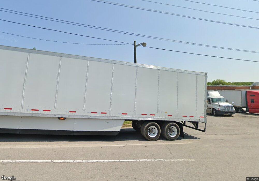
This home is located at 219 Rowan St, Salem, VA 24153. 219 Rowan St is a home located in Salem City with nearby schools including East Salem Elementary School, Andrew Lewis Middle School, and Salem High School.
Ownership History
Date
Name
Owned For
Owner Type
Purchase Details
Closed on
Jan 16, 2008
Sold by
Rowe Furniture Mid Atlantic Inc
Bought by
Virginia Appalachian Properties Llc
Home Financials for this Owner
Home Financials are based on the most recent Mortgage that was taken out on this home.
Original Mortgage
$1,100,000
Interest Rate
6.99%
Mortgage Type
Credit Line Revolving
Purchase Details
Closed on
Jan 25, 2007
Sold by
Rowe Furniture Inc
Bought by
Rowe Furniture Mid Atlantic Inc
Create a Home Valuation Report for This Property
The Home Valuation Report is an in-depth analysis detailing your home's value as well as a comparison with similar homes in the area
Home Values in the Area
Average Home Value in this Area
Purchase History
| Date | Buyer | Sale Price | Title Company |
|---|---|---|---|
| Virginia Appalachian Properties Llc | $1,165,000 | First American | |
| Rowe Furniture Mid Atlantic Inc | -- | First American Title Insuran |
Source: Public Records
Mortgage History
| Date | Status | Borrower | Loan Amount |
|---|---|---|---|
| Closed | Virginia Appalachian Properties Llc | $1,100,000 |
Source: Public Records
Tax History Compared to Growth
Tax History
| Year | Tax Paid | Tax Assessment Tax Assessment Total Assessment is a certain percentage of the fair market value that is determined by local assessors to be the total taxable value of land and additions on the property. | Land | Improvement |
|---|---|---|---|---|
| 2025 | $13,423 | $2,275,000 | $429,400 | $1,845,600 |
| 2024 | $11,652 | $1,942,000 | $397,100 | $1,544,900 |
| 2023 | $21,768 | $1,814,000 | $358,600 | $1,455,400 |
| 2022 | $20,292 | $1,691,000 | $312,000 | $1,379,000 |
| 2021 | $18,552 | $1,546,000 | $291,000 | $1,255,000 |
| 2020 | $17,064 | $1,422,000 | $291,000 | $1,131,000 |
| 2019 | $17,064 | $1,422,000 | $291,000 | $1,131,000 |
| 2018 | $15,316 | $1,298,000 | $291,000 | $1,007,000 |
| 2017 | $14,915 | $1,264,000 | $257,000 | $1,007,000 |
| 2016 | $13,971 | $1,184,000 | $257,000 | $927,000 |
| 2015 | $13,971 | $1,184,000 | $257,000 | $927,000 |
| 2014 | $13,971 | $1,184,000 | $257,000 | $927,000 |
Source: Public Records
Map
Nearby Homes
- 303 Riverland Dr
- 402 E 7th St
- 609 Front Ave
- 407 Kimball Ave
- 409 Kimball Ave
- 411 Kimball Ave
- 415 Kimball Ave
- 1504 Eddy Ave
- 1608 Eddy Ave
- 610 Central Ave
- 906 Front Ave
- 938 Roanoke Blvd
- 1002 Roanoke Blvd
- 522 Pennsylvania Ave
- 1410 Orchard Dr
- 100 W 4th St
- 400 Chestnut St
- 314 White St
- The Nantucket Plan at Simms Farm
- The Beechwood Plan at Simms Farm
- 1299 S Colorado St
- 1031 S College Ave
- 1209 S Colorado St
- 300 Hawthorn Rd
- 1121 Tennessee St
- 1242 S Colorado St
- 1300 S Colorado St
- 1103 S Colorado St
- 1020 S College Ave
- 1016 S College Ave
- 1201 S Colorado St
- 1003 S Colorado St
- 1012 S College Ave
- 1102 Tennessee St
- 1006 S College Ave
- 1017 Tennessee St
- 1013 Tennessee St
- 411 E 9th St
- 1121 Delaware St
- 1000 S College Ave
