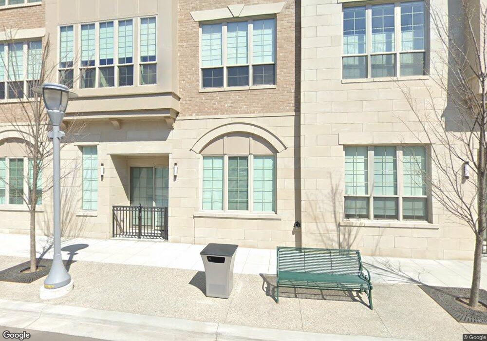
219 S Elm St Unit 11 Birmingham, MI 48009
Estimated Value: $2,374,353
2
Beds
4
Baths
1,334
Sq Ft
$1,780/Sq Ft
Est. Value
About This Home
This home is located at 219 S Elm St Unit 11, Birmingham, MI 48009 and is currently priced at $2,374,353, approximately $1,779 per square foot. 219 S Elm St Unit 11 is a home located in Oakland County with nearby schools including Harlan Elementary School, Derby Middle School, and Ernest W. Seaholm High School.
Ownership History
Date
Name
Owned For
Owner Type
Purchase Details
Closed on
Jan 10, 2020
Sold by
Kelly Crossing Llc
Bought by
Maple Elm Development Company Ii Llc
Current Estimated Value
Purchase Details
Closed on
Dec 29, 2010
Sold by
Elm Street Llc
Bought by
Kelly Crossing Llc
Purchase Details
Closed on
Mar 26, 1997
Sold by
Singh Associates
Bought by
Singh Northbrooke Ltd Ptr
Create a Home Valuation Report for This Property
The Home Valuation Report is an in-depth analysis detailing your home's value as well as a comparison with similar homes in the area
Home Values in the Area
Average Home Value in this Area
Purchase History
| Date | Buyer | Sale Price | Title Company |
|---|---|---|---|
| Maple Elm Development Company Ii Llc | -- | First American Title | |
| Kelly Crossing Llc | $825,000 | Land Title Agency | |
| Singh Northbrooke Ltd Ptr | -- | -- |
Source: Public Records
Tax History Compared to Growth
Tax History
| Year | Tax Paid | Tax Assessment Tax Assessment Total Assessment is a certain percentage of the fair market value that is determined by local assessors to be the total taxable value of land and additions on the property. | Land | Improvement |
|---|---|---|---|---|
| 2024 | $132,962 | $3,564,880 | $0 | $0 |
| 2023 | $25,979 | $888,650 | $0 | $0 |
| 2022 | $54,006 | $1,078,010 | $0 | $0 |
| 2021 | $54,379 | $1,013,850 | $0 | $0 |
| 2020 | $23,233 | $860,450 | $0 | $0 |
| 2019 | $28,783 | $732,120 | $0 | $0 |
| 2017 | $27,739 | $619,980 | $0 | $0 |
| 2015 | -- | $567,610 | $0 | $0 |
| 2014 | -- | $541,610 | $0 | $0 |
| 2011 | -- | $685,430 | $0 | $0 |
Source: Public Records
Map
Nearby Homes
- 1119 E Maple Rd
- 411 S Old Woodward Ave Unit 907
- 411 S Old Woodward Ave Unit 511
- 411 S Old Woodward Ave Unit 524
- 411 S Old Woodward Ave Unit 824
- 411 S Old Woodward Ave Unit 1007
- 411 S Old Woodward Ave Unit 924
- 475 S Adams Rd
- 684 Madison St
- 608 Purdy St
- 787 Ann St
- 662 Purdy St Unit 104
- 111 Willits St Unit 403
- 907 Ann St
- 1509 Yorkshire Rd
- 512 George St
- 967 Ann St
- 1180 Manchester Rd
- 1365 Holland St
- 1324 Holland St
- 219 S Elm St Unit 54
- 219 S Elm St Unit 24
- 219 S Elm St Unit 51
- 219 S Elm St Unit 25
- 219 S Elm St Unit 13
- 219 S Elm St
- 111 Elm St Unit 241
- 111 Elm St
- 855 Forest Ave
- 887 Forest Ave
- 0 Poppleton St Unit 218001434
- 735 Forest Ave
- 735 Forest Ave
- 735 Forest Ave
- 735 Forest Ave
- 735 Forest Ave
- 735 Forest Ave
- 735 Forest Ave Unit 305
- 735 Forest Ave Unit 305
- 735 Forest Ave Unit 311