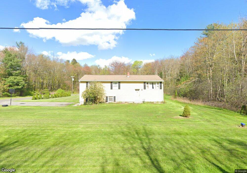
219 South Rd Winsted, CT 06098
Estimated Value: $316,057 - $370,000
3
Beds
2
Baths
1,200
Sq Ft
$283/Sq Ft
Est. Value
About This Home
This home is located at 219 South Rd, Winsted, CT 06098 and is currently estimated at $339,264, approximately $282 per square foot. 219 South Rd is a home located in Litchfield County with nearby schools including Pearson School.
Ownership History
Date
Name
Owned For
Owner Type
Purchase Details
Closed on
Apr 17, 2007
Sold by
Ford Marie A
Bought by
Scherer Wayne M and Scherer Patricia
Current Estimated Value
Home Financials for this Owner
Home Financials are based on the most recent Mortgage that was taken out on this home.
Original Mortgage
$228,100
Interest Rate
6.24%
Create a Home Valuation Report for This Property
The Home Valuation Report is an in-depth analysis detailing your home's value as well as a comparison with similar homes in the area
Home Values in the Area
Average Home Value in this Area
Purchase History
| Date | Buyer | Sale Price | Title Company |
|---|---|---|---|
| Scherer Wayne M | $230,000 | -- | |
| Scherer Wayne M | $230,000 | -- |
Source: Public Records
Mortgage History
| Date | Status | Borrower | Loan Amount |
|---|---|---|---|
| Open | Scherer Wayne M | $228,100 | |
| Closed | Scherer Wayne M | $228,100 | |
| Closed | Scherer Wayne M | $14,100 |
Source: Public Records
Tax History
| Year | Tax Paid | Tax Assessment Tax Assessment Total Assessment is a certain percentage of the fair market value that is determined by local assessors to be the total taxable value of land and additions on the property. | Land | Improvement |
|---|---|---|---|---|
| 2025 | $4,310 | $147,770 | $50,260 | $97,510 |
| 2024 | $4,025 | $147,770 | $50,260 | $97,510 |
| 2023 | $3,900 | $147,770 | $50,260 | $97,510 |
| 2022 | $3,808 | $113,540 | $36,680 | $76,860 |
| 2021 | $3,808 | $113,540 | $36,680 | $76,860 |
| 2020 | $3,808 | $113,540 | $36,680 | $76,860 |
| 2019 | $3,808 | $113,540 | $36,680 | $76,860 |
| 2018 | $3,808 | $113,540 | $36,680 | $76,860 |
| 2017 | $3,726 | $111,090 | $36,680 | $74,410 |
| 2016 | $3,862 | $115,150 | $36,680 | $78,470 |
| 2015 | $3,765 | $115,150 | $36,680 | $78,470 |
| 2014 | $3,674 | $115,150 | $36,680 | $78,470 |
Source: Public Records
Map
Nearby Homes
- 469 Platt Hill Rd
- 274 Cliffside Dr Unit 274
- 389 Trailsend Dr
- 207 Ledge Dr
- 28 Evergreen Rd
- 174 Ledge Dr
- 65 Woodside Cir Unit 65
- 215 Ledge Dr
- 225 Ledge Dr
- 319 Cliffside Dr
- 431 Trailsend Dr Unit + Garage G128
- 00 Chapel Rd
- 105,107 E Mountain Rd
- 000 Newfield Rd
- 393 Winchester Rd
- 843-845 (lots - 10A, E Wakefield Blvd
- 605 E Wakefield Blvd
- 143 Caulfield Rd
- 2547 Winsted Rd
- 351 Platt Hill Rd
Your Personal Tour Guide
Ask me questions while you tour the home.