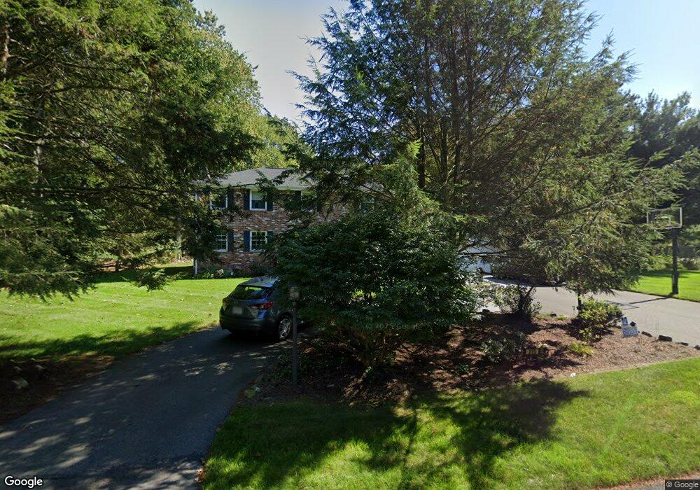
219 Stratford Rd Needham, MA 02492
Estimated Value: $1,660,000 - $2,164,985
4
Beds
3
Baths
1,268
Sq Ft
$1,463/Sq Ft
Est. Value
About This Home
This home is located at 219 Stratford Rd, Needham, MA 02492 and is currently estimated at $1,854,996, approximately $1,462 per square foot. 219 Stratford Rd is a home located in Norfolk County with nearby schools including Newman Elementary School, High Rock Middle School, and Pollard Middle School.
Ownership History
Date
Name
Owned For
Owner Type
Purchase Details
Closed on
Aug 31, 2000
Sold by
Ceriales Dexter P and Ceriales Aurora L
Bought by
Jordan Everette T and Jordan Sandra Ml
Current Estimated Value
Purchase Details
Closed on
Aug 29, 1994
Sold by
Conte Ralph and Conte Rosalie
Bought by
Ceriales Aurora L
Create a Home Valuation Report for This Property
The Home Valuation Report is an in-depth analysis detailing your home's value as well as a comparison with similar homes in the area
Home Values in the Area
Average Home Value in this Area
Purchase History
| Date | Buyer | Sale Price | Title Company |
|---|---|---|---|
| Jordan Everette T | $580,000 | -- | |
| Ceriales Aurora L | $390,000 | -- |
Source: Public Records
Mortgage History
| Date | Status | Borrower | Loan Amount |
|---|---|---|---|
| Open | Ceriales Aurora L | $203,000 | |
| Closed | Ceriales Aurora L | $213,000 | |
| Closed | Ceriales Aurora L | $225,000 |
Source: Public Records
Tax History
| Year | Tax Paid | Tax Assessment Tax Assessment Total Assessment is a certain percentage of the fair market value that is determined by local assessors to be the total taxable value of land and additions on the property. | Land | Improvement |
|---|---|---|---|---|
| 2025 | $12,780 | $1,205,700 | $714,200 | $491,500 |
| 2024 | $12,469 | $995,900 | $573,400 | $422,500 |
| 2023 | $12,500 | $958,600 | $573,400 | $385,200 |
| 2022 | $10,756 | $804,500 | $435,400 | $369,100 |
| 2021 | $10,483 | $804,500 | $435,400 | $369,100 |
| 2020 | $10,248 | $820,500 | $435,400 | $385,100 |
| 2019 | $10,050 | $811,100 | $435,400 | $375,700 |
| 2018 | $9,636 | $811,100 | $435,400 | $375,700 |
| 2017 | $9,092 | $764,700 | $435,400 | $329,300 |
| 2016 | $8,866 | $768,300 | $435,400 | $332,900 |
| 2015 | $8,674 | $768,300 | $435,400 | $332,900 |
| 2014 | $8,791 | $755,200 | $435,400 | $319,800 |
Source: Public Records
Map
Nearby Homes
- 8 Crestview Rd
- 34 Stratford Rd
- 24 Moseley Ave
- 957 South St
- 1 Mill St
- 52 Willow St
- 95 Deerfield Rd
- 1780 Central Ave
- 189 Bridle Trail Rd
- 287 High Rock St
- 37 Carleton Dr
- 47 Emerson Rd
- 569 Chestnut St
- 365 Charles River St
- 620 High Rock St
- 53 Heather Ln
- 150 Laurel Dr
- 90 Norfolk St
- 73 Maple St Unit 1
- 68 Pleasant St Unit 68
- 233 Stratford Rd
- 230 Stratford Rd
- 211 Stratford Rd
- 210 Stratford Rd
- 1169 South St
- 1187 South St
- 245 Stratford Rd
- 250 Stratford Rd
- 250 Stratford Rd
- 120 Windsor Rd
- 191 Stratford Rd
- 1143 South St
- 106 Windsor Rd
- 1133 South St
- 1227 South St
- 173 Stratford Rd
- 1230 South St
- 1230 South St Unit 1230
- 1230 South St Unit .
- 111 Windsor Rd
Your Personal Tour Guide
Ask me questions while you tour the home.