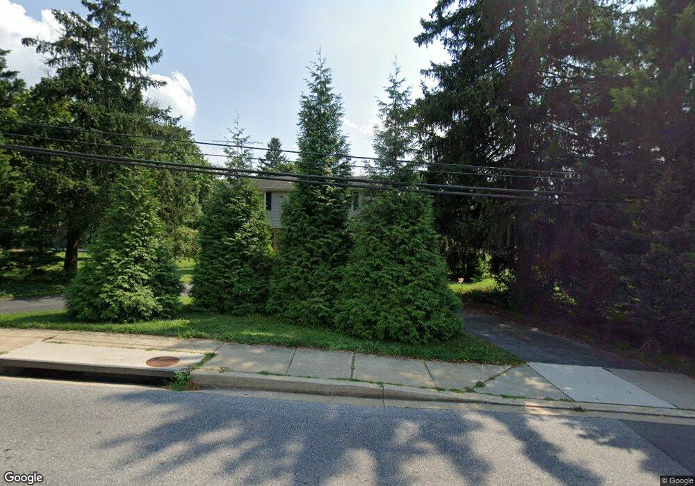
219 Uniontown Rd Westminster, MD 21157
Westminster AreaEstimated Value: $502,000 - $584,237
About This Home
This home is located at 219 Uniontown Rd, Westminster, MD 21157 and is currently estimated at $527,559, approximately $201 per square foot. 219 Uniontown Rd is a home located in Carroll County with nearby schools including William Winchester Elementary School, Westminster West Middle School, and Winters Mill High School.
Ownership History
We collect this data history from publicly available records. To have your information removed, we recommend requesting removal directly through your county’s website.
Purchase Details
Home Financials for this Owner
Home Financials are based on the most recent Mortgage that was taken out on this home.Purchase Details
Home Values in the Area
Average Home Value in this Area
Purchase History
We collect this data history from publicly available records. To have your information removed, we recommend requesting removal directly through your county’s website.
| Date | Buyer | Sale Price | Title Company |
|---|---|---|---|
| $394,000 | R&P Settlement Group | ||
| -- | -- |
Mortgage History
We collect this data history from publicly available records. To have your information removed, we recommend requesting removal directly through your county’s website.
| Date | Status | Borrower | Loan Amount |
|---|---|---|---|
| Open | $121,770 | ||
| Closed | $51,856 | ||
| Open | $386,863 |
Tax History
We collect this data history from publicly available records. To have your information removed, we recommend requesting removal directly through your county’s website.
| Year | Tax Paid | Tax Assessment Tax Assessment Total Assessment is a certain percentage of the fair market value that is determined by local assessors to be the total taxable value of land and additions on the property. | Land | Improvement |
|---|---|---|---|---|
| 2025 | $5,660 | $378,933 | $0 | $0 |
| 2024 | $5,340 | $317,867 | $0 | $0 |
| 2023 | $4,314 | $256,800 | $108,800 | $148,000 |
| 2022 | $4,256 | $253,333 | $0 | $0 |
| 2021 | $0 | $249,867 | $0 | $0 |
| 2020 | $4,139 | $246,400 | $108,800 | $137,600 |
| 2019 | $3,888 | $246,400 | $108,800 | $137,600 |
| 2018 | $4,139 | $246,400 | $108,800 | $137,600 |
| 2017 | $4,111 | $248,600 | $0 | $0 |
| 2016 | -- | $244,733 | $0 | $0 |
| 2015 | -- | $240,867 | $0 | $0 |
| 2014 | -- | $237,000 | $0 | $0 |
Map
- 0 Ridge Rd Unit MDCR2035948
- 395 Kingsbury Way Unit C11
- 3 Marbeth Hill
- 445 Pleasanton Rd Unit C31
- 127 W Main St
- 25 Kemper Ave
- 100 W Main St
- 15 Ridge View Dr
- 19 Hersh Ave
- 71 Bond St
- 227 Lodestone Ct
- 213 Lodestone Ct
- Lot 2 Sullivan Ave
- Lot 1 Sullivan Ave
- 214 Pennsylvania Ave
- 520 Yellow Lily Ct
- 725 Lower Field Cir
- 544 Yellow Lily Ct
- 440 Silver Ct
- Lot 1 or 2 Wyndtryst Dr
- 219 Uniontown Rd
- 219 Uniontown Rd
- 229 Uniontown Rd
- 14 New Windsor Rd
- 12 Old New Windsor Rd
- 10 Old New Windsor Rd
- 16 New Windsor Rd
- 16 New Windsor Rd Unit B
- 16 New Windsor Rd Unit B
- 16 New Windsor Rd Unit A
- 8 New Windsor Rd
- 233 Uniontown Rd
- 18 New Windsor Rd
- 6 New Windsor Rd
- 20 Old New Windsor Pike
- 4 New Windsor Rd
- 16 Old New Windsor Rd
- 16 Old New Windsor Rd Unit A
- 0 Ridge Rd Unit 1000080117
- 0 Ridge Rd Unit 1007625658
Ask me questions while you tour the home.