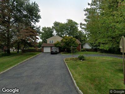
219 Vail Rd Parsippany, NJ 07054
Parsippany NeighborhoodEstimated Value: $614,412 - $758,000
--
Bed
--
Bath
1,746
Sq Ft
$405/Sq Ft
Est. Value
About This Home
This home is located at 219 Vail Rd, Parsippany, NJ 07054 and is currently estimated at $706,603, approximately $404 per square foot. 219 Vail Rd is a home located in Morris County with nearby schools including Northvail Elementary School, Central Middle School, and Parsippany High School.
Ownership History
Date
Name
Owned For
Owner Type
Purchase Details
Closed on
Sep 2, 1997
Sold by
Kau Ying C and Kau Ming H
Bought by
Wolfe Mark T and Wolfe Jacqueline
Current Estimated Value
Home Financials for this Owner
Home Financials are based on the most recent Mortgage that was taken out on this home.
Original Mortgage
$207,670
Interest Rate
7.31%
Create a Home Valuation Report for This Property
The Home Valuation Report is an in-depth analysis detailing your home's value as well as a comparison with similar homes in the area
Home Values in the Area
Average Home Value in this Area
Purchase History
| Date | Buyer | Sale Price | Title Company |
|---|---|---|---|
| Wolfe Mark T | $218,600 | Lawyers Title Insurance Corp |
Source: Public Records
Mortgage History
| Date | Status | Borrower | Loan Amount |
|---|---|---|---|
| Open | Wolfe Mark T | $145,331 | |
| Closed | Wolfe Mark T | $207,670 |
Source: Public Records
Tax History Compared to Growth
Tax History
| Year | Tax Paid | Tax Assessment Tax Assessment Total Assessment is a certain percentage of the fair market value that is determined by local assessors to be the total taxable value of land and additions on the property. | Land | Improvement |
|---|---|---|---|---|
| 2024 | $10,687 | $319,300 | $172,100 | $147,200 |
| 2023 | $10,687 | $319,300 | $172,100 | $147,200 |
| 2022 | $9,991 | $319,300 | $172,100 | $147,200 |
| 2021 | $9,991 | $319,300 | $172,100 | $147,200 |
| 2020 | $9,777 | $319,300 | $172,100 | $147,200 |
| 2019 | $9,512 | $319,300 | $172,100 | $147,200 |
| 2018 | $9,301 | $319,300 | $172,100 | $147,200 |
| 2017 | $9,087 | $319,300 | $172,100 | $147,200 |
| 2016 | $8,924 | $319,300 | $172,100 | $147,200 |
| 2015 | $8,698 | $319,300 | $172,100 | $147,200 |
| 2014 | $8,459 | $314,800 | $172,100 | $142,700 |
Source: Public Records
Map
Nearby Homes
- 426 Vail Rd
- 3 Woodhaven Rd
- 2 Euclid Terrace
- 22 Farrand Dr
- 29 Nicole Ln
- 12 Farrand Dr
- 78 Emily Place
- 47 Lincoln Gardens
- 108 Jillian Blvd
- 44 Willow Ln
- 4 Willow Ln
- 65 Beechwood Ave
- 167 Lake Shore Dr
- 63 Albert Ct Unit 63
- 18 Nokomis Ave
- 4 Maureen Ct
- 56 Albert Ct Unit 56
- 165 Hiawatha Blvd
- 18 Gordon Cir Unit 18
- 18 Hancock St