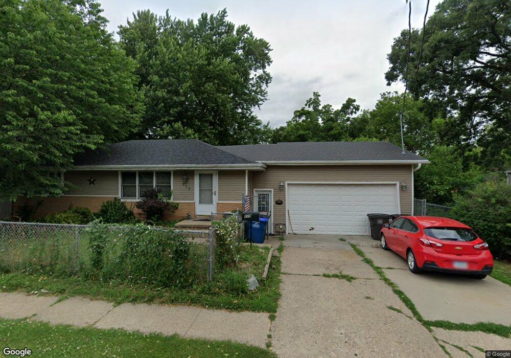
219 Watrous Ave Des Moines, IA 50315
Watrous Heights NeighborhoodEstimated Value: $161,000 - $204,000
2
Beds
1
Bath
924
Sq Ft
$200/Sq Ft
Est. Value
About This Home
This home is located at 219 Watrous Ave, Des Moines, IA 50315 and is currently estimated at $184,501, approximately $199 per square foot. 219 Watrous Ave is a home located in Polk County with nearby schools including South Union Elementary School, Brody Middle School, and Lincoln High School.
Ownership History
Date
Name
Owned For
Owner Type
Purchase Details
Closed on
May 24, 2002
Sold by
Coles Virginia and Coles Ron A
Bought by
Formaro Matthew M and Formaro Dawn R
Current Estimated Value
Home Financials for this Owner
Home Financials are based on the most recent Mortgage that was taken out on this home.
Original Mortgage
$87,795
Outstanding Balance
$37,125
Interest Rate
6.95%
Estimated Equity
$147,376
Create a Home Valuation Report for This Property
The Home Valuation Report is an in-depth analysis detailing your home's value as well as a comparison with similar homes in the area
Home Values in the Area
Average Home Value in this Area
Purchase History
| Date | Buyer | Sale Price | Title Company |
|---|---|---|---|
| Formaro Matthew M | $87,500 | -- |
Source: Public Records
Mortgage History
| Date | Status | Borrower | Loan Amount |
|---|---|---|---|
| Open | Formaro Matthew M | $87,795 |
Source: Public Records
Tax History Compared to Growth
Tax History
| Year | Tax Paid | Tax Assessment Tax Assessment Total Assessment is a certain percentage of the fair market value that is determined by local assessors to be the total taxable value of land and additions on the property. | Land | Improvement |
|---|---|---|---|---|
| 2025 | $3,058 | $185,100 | $34,500 | $150,600 |
| 2024 | $3,058 | $165,900 | $30,400 | $135,500 |
| 2023 | $2,894 | $165,900 | $30,400 | $135,500 |
| 2022 | $2,870 | $131,700 | $25,000 | $106,700 |
| 2021 | $2,738 | $131,700 | $25,000 | $106,700 |
| 2020 | $2,838 | $118,300 | $22,200 | $96,100 |
| 2019 | $2,582 | $118,300 | $22,200 | $96,100 |
| 2018 | $2,550 | $104,600 | $19,300 | $85,300 |
| 2017 | $2,372 | $104,600 | $19,300 | $85,300 |
| 2016 | $2,306 | $96,200 | $17,500 | $78,700 |
| 2015 | $2,306 | $96,200 | $17,500 | $78,700 |
| 2014 | $2,136 | $92,300 | $16,500 | $75,800 |
Source: Public Records
Map
Nearby Homes
- 3822 SW 2nd St
- 3634 SW 4th St
- 118 E Watrous Ave
- 3503 SW 2nd St
- 3903 SW 9th St
- 108 E Philip St
- 518 Maxwelton Dr
- 515 Emma Ave
- 3508 Fairlane Dr
- 612 Emma Ave
- 3605 SW 9th St
- 304 Herold Ave
- 3618 SW 9th St
- 3314 S Union St
- 300 Hughes Ave
- 209 E Philip St
- 3224 SW 2nd St
- 931 Rose Ave
- 4316 SE 4th St
- 3308 SW 7th St
- 225 Watrous Ave
- 215 Watrous Ave
- 3917 SW 3rd St
- 3919 SW 3rd St
- 203 Watrous Ave
- 3911 SW 3rd St
- 234 Watrous Ave
- 224 Watrous Ave
- 3910 SW 2nd St
- 201 Watrous Ave
- 3828 SW 2nd St
- 240 Watrous Ave
- 240 Watrous Ave Unit 1
- 240 Watrous Ave Unit 2
- 240 Watrous Ave Unit 1 & 2
- 303 Watrous Ave
- 3903 SW 3rd St
- 212 Watrous Ave
- 300 Watrous Ave
- 200 Watrous Ave