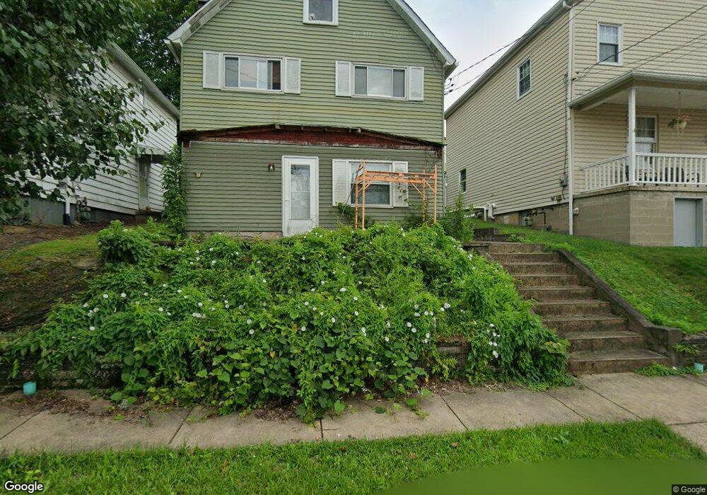
219 Whittier St Vandergrift, PA 15690
Estimated Value: $55,000 - $103,000
--
Bed
--
Bath
--
Sq Ft
7,187
Sq Ft Lot
About This Home
This home is located at 219 Whittier St, Vandergrift, PA 15690 and is currently estimated at $82,421. 219 Whittier St is a home located in Westmoreland County with nearby schools including Kiski Area High School and Orchard Hills Christian Academy.
Ownership History
Date
Name
Owned For
Owner Type
Purchase Details
Closed on
Sep 21, 2006
Sold by
Hepler Kenneth E and Hepler Esther L
Bought by
Wells Fargo Bank Minnesota Na and Del Funding Home Equity Loan Trust 1998-
Current Estimated Value
Purchase Details
Closed on
May 15, 2006
Sold by
Wells Fargo Bank Minnesota Na
Bought by
George Ed
Home Financials for this Owner
Home Financials are based on the most recent Mortgage that was taken out on this home.
Original Mortgage
$19,800
Interest Rate
6.71%
Mortgage Type
Purchase Money Mortgage
Create a Home Valuation Report for This Property
The Home Valuation Report is an in-depth analysis detailing your home's value as well as a comparison with similar homes in the area
Home Values in the Area
Average Home Value in this Area
Purchase History
| Date | Buyer | Sale Price | Title Company |
|---|---|---|---|
| Wells Fargo Bank Minnesota Na | $1,746 | None Available | |
| George Ed | $22,000 | None Available |
Source: Public Records
Mortgage History
| Date | Status | Borrower | Loan Amount |
|---|---|---|---|
| Previous Owner | George Ed | $19,800 |
Source: Public Records
Tax History Compared to Growth
Tax History
| Year | Tax Paid | Tax Assessment Tax Assessment Total Assessment is a certain percentage of the fair market value that is determined by local assessors to be the total taxable value of land and additions on the property. | Land | Improvement |
|---|---|---|---|---|
| 2025 | $853 | $5,230 | $1,400 | $3,830 |
| 2024 | $813 | $5,230 | $1,400 | $3,830 |
| 2023 | $748 | $5,230 | $1,400 | $3,830 |
| 2022 | $733 | $5,230 | $1,400 | $3,830 |
| 2021 | $733 | $5,230 | $1,400 | $3,830 |
| 2020 | $731 | $5,230 | $1,400 | $3,830 |
| 2019 | $728 | $5,230 | $1,400 | $3,830 |
| 2018 | $718 | $5,230 | $1,400 | $3,830 |
| 2017 | $702 | $5,230 | $1,400 | $3,830 |
| 2016 | $693 | $5,230 | $1,400 | $3,830 |
| 2015 | $693 | $5,230 | $1,400 | $3,830 |
| 2014 | $689 | $5,230 | $1,400 | $3,830 |
Source: Public Records
Map
Nearby Homes
- 231 Whittier St
- 213 Whittier St
- 311 Lowell St
- 314 1/2 Lowell St
- 800 Wallace St
- 403 Lowell St
- 105 Longfellow St
- 525 Burns St
- 431 Longfellow St
- 410 Longfellow St
- 439 Longfellow St
- 512 Watson St
- 704-706 Holland St
- 323 Sycamore St
- 1206 Wysocki Ave
- 528 Longfellow St
- 716 Kennedy Ave
- 533A Walnut St
- 314 Linden St
- 517 Sycamore St
- 217 Whittier St
- 215 Whittier St
- 211 Whittier St
- 211 Whittier St
- 227 Whittier St
- 209 Whittier St
- 229 Whittier St
- 218 Bryant St
- 216 Whittier St
- 218 Whittier St
- 214 Whittier St
- 216 Bryant St Unit 1
- 220 Whittier St
- 212 Whittier St
- 222 Whittier St
- 220 Bryant St
- 224 Whittier St
- 214 Bryant St
- 210 Whittier St
- 207 Whittier St