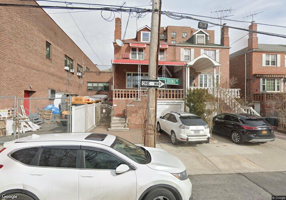
2190 Paulding Ave Bronx, NY 10462
Pelham Parkway NeighborhoodEstimated Value: $767,769 - $1,059,000
Studio
--
Bath
2,117
Sq Ft
$424/Sq Ft
Est. Value
About This Home
This home is located at 2190 Paulding Ave, Bronx, NY 10462 and is currently estimated at $897,192, approximately $423 per square foot. 2190 Paulding Ave is a home located in Bronx County with nearby schools including P.S. 083 The Donald Hertz School, St. Clare of Assisi School, and St Catharine Academy.
Ownership History
Date
Name
Owned For
Owner Type
Purchase Details
Closed on
May 22, 1997
Sold by
Lutzker Shelley K
Bought by
Manuzon Carolino Lennie S
Current Estimated Value
Home Financials for this Owner
Home Financials are based on the most recent Mortgage that was taken out on this home.
Original Mortgage
$169,200
Outstanding Balance
$23,134
Interest Rate
7.98%
Estimated Equity
$874,058
Create a Home Valuation Report for This Property
The Home Valuation Report is an in-depth analysis detailing your home's value as well as a comparison with similar homes in the area
Home Values in the Area
Average Home Value in this Area
Purchase History
| Date | Buyer | Sale Price | Title Company |
|---|---|---|---|
| Manuzon Carolino Lennie S | $188,000 | First American Title Ins Co |
Source: Public Records
Mortgage History
| Date | Status | Borrower | Loan Amount |
|---|---|---|---|
| Open | Manuzon Carolino Lennie S | $169,200 |
Source: Public Records
Tax History Compared to Growth
Tax History
| Year | Tax Paid | Tax Assessment Tax Assessment Total Assessment is a certain percentage of the fair market value that is determined by local assessors to be the total taxable value of land and additions on the property. | Land | Improvement |
|---|---|---|---|---|
| 2025 | $7,235 | $39,667 | $8,750 | $30,917 |
| 2024 | $7,235 | $37,422 | $8,771 | $28,651 |
| 2023 | $7,316 | $37,422 | $8,669 | $28,753 |
| 2022 | $7,127 | $45,720 | $10,800 | $34,920 |
| 2021 | $7,071 | $40,980 | $10,800 | $30,180 |
| 2020 | $6,670 | $42,180 | $10,800 | $31,380 |
| 2019 | $6,231 | $34,020 | $10,800 | $23,220 |
| 2018 | $6,059 | $31,185 | $10,169 | $21,016 |
| 2017 | $6,009 | $30,949 | $9,523 | $21,426 |
| 2016 | $5,527 | $29,198 | $10,185 | $19,013 |
| 2015 | $3,302 | $27,547 | $11,359 | $16,188 |
| 2014 | $3,302 | $25,988 | $11,178 | $14,810 |
Source: Public Records
Map
Nearby Homes
- 2118 Bogart Ave
- - Lydig Ave
- 2116 Bogart Ave
- 2131 Lurting Ave
- 2129 Muliner Ave
- 2165 Mathews Ave Unit 5H
- 2165 Matthews Ave Unit 4F
- 2165 Matthews Ave Unit 4A
- 2154 Haight Ave
- 1054 Lydig Ave
- 2080 Matthews Ave
- 2037 Radcliff Ave
- 2080 Barnes Ave Unit 4A
- 2080 Barnes Ave Unit 4C
- 2080 Barnes Ave Unit 3B
- 2080 Barnes Ave Unit 3H
- 2090 Barnes Ave Unit 3G
- 2090 Barnes Ave Unit 4D
- 1059 Neill Ave
- 2199 Holland Ave Unit 4D
- 2188 Paulding Ave
- 2186 Paulding Ave
- 2186 Paulding Ave
- 2186 Paulding Ave Unit 1
- 2184 Paulding Ave
- 2182 Paulding Ave
- 2185 Hone Ave
- 2178 Paulding Ave
- 990 Pelham Pkwy S
- 2175 Hone Ave
- 916 Pelham Pkwy S
- 918 Pelham Pkwy S
- 2174 Paulding Ave
- 2183 Bogart Ave
- 2183 Bogart Ave Unit 2183 Bog
- 2181 Bogart Ave
- 2173 Hone Ave
- 914 Pelham Pkwy S
- 2179 Bogart Ave
- 2172 Paulding Ave