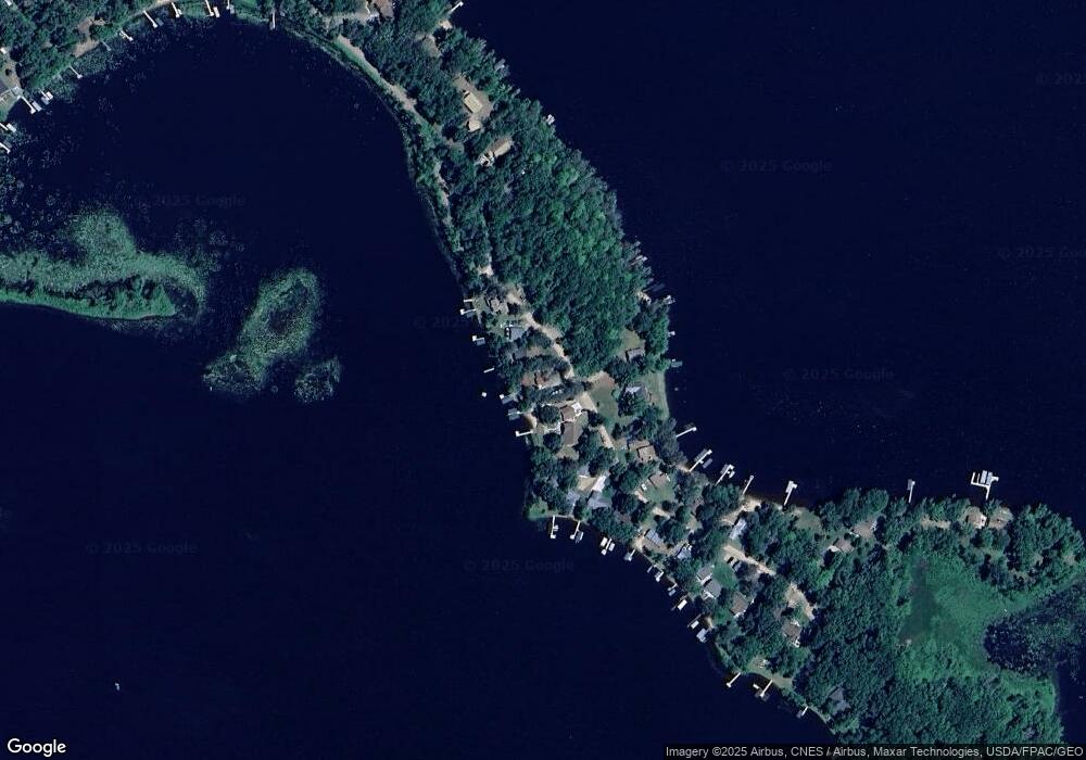
21903 512th Ln McGregor, MN 55760
Estimated Value: $378,000 - $570,000
3
Beds
1
Bath
1,053
Sq Ft
$460/Sq Ft
Est. Value
About This Home
This home is located at 21903 512th Ln, McGregor, MN 55760 and is currently estimated at $484,123, approximately $459 per square foot. 21903 512th Ln is a home located in Aitkin County with nearby schools including McGregor Elementary School and McGregor Secondary School.
Ownership History
Date
Name
Owned For
Owner Type
Purchase Details
Closed on
Oct 1, 2020
Sold by
Hager Robert Robert
Bought by
Adams Clinton Clinton
Current Estimated Value
Home Financials for this Owner
Home Financials are based on the most recent Mortgage that was taken out on this home.
Original Mortgage
$257,900
Outstanding Balance
$229,305
Interest Rate
2.88%
Estimated Equity
$254,818
Purchase Details
Closed on
May 1, 1994
Bought by
Hager Robert and Hager Janis
Create a Home Valuation Report for This Property
The Home Valuation Report is an in-depth analysis detailing your home's value as well as a comparison with similar homes in the area
Purchase History
| Date | Buyer | Sale Price | Title Company |
|---|---|---|---|
| Adams Clinton Clinton | $259,900 | -- | |
| Hager Robert | $65,000 | -- |
Source: Public Records
Mortgage History
| Date | Status | Borrower | Loan Amount |
|---|---|---|---|
| Open | Adams Clinton Clinton | $257,900 |
Source: Public Records
Tax History
| Year | Tax Paid | Tax Assessment Tax Assessment Total Assessment is a certain percentage of the fair market value that is determined by local assessors to be the total taxable value of land and additions on the property. | Land | Improvement |
|---|---|---|---|---|
| 2025 | $2,330 | $386,300 | $312,500 | $73,800 |
| 2024 | $2,678 | $386,500 | $318,900 | $67,600 |
| 2023 | $2,254 | $443,800 | $370,700 | $73,100 |
| 2022 | $2,230 | $340,200 | $275,900 | $64,300 |
| 2021 | $2,180 | $252,600 | $210,400 | $42,200 |
| 2020 | $2,142 | $241,200 | $199,000 | $42,200 |
| 2019 | $2,050 | $231,000 | $193,300 | $37,700 |
| 2018 | $2,026 | $213,100 | $176,200 | $36,900 |
| 2017 | $1,776 | $213,100 | $176,200 | $36,900 |
| 2016 | $1,748 | $187,500 | $150,600 | $36,900 |
| 2014 | $1,692 | $182,500 | $144,100 | $38,400 |
| 2012 | $17 | $208,700 | $167,900 | $40,800 |
Source: Public Records
Map
Nearby Homes
- TBD 217th Ave
- TBD Frog Island
- 51639 209th Place
- 51992 209th Place
- 49760 202nd Place
- 49734 202nd Place
- 50796 202nd Place
- TBD 493rd Ln
- TBDxx Lake Ave
- 19409 529th Ln
- 48228 207th Ave
- 51325 Great River Rd
- 48525 194th Place
- 47190
- 48411 196th Place
- TBD 484th St
- XxXx Fairway View Ln
- TBD 170th Place
- 47114 188th Ave
- 18043 476th Ln
- 21911 512th Ln
- 21929 512th Ln
- 21891 512th Ln
- 21883 21883 512th-Lane-
- 21883 512th Ln
- 21884 512th Ln
- 21943 512th Ln
- 21871 512th Ln
- 21892 512th Ln
- 21898 512th Ln
- 21862 512th Ln
- 21844 512th Ln
- xxx 221st Place
- 21845 512th Ln
- 21835 512th Ln
- 21826 512th Ln
- 21954 512th Ln
- 21821 512th Ln
- 21956 512th Ln
- 21804 512th Ln
