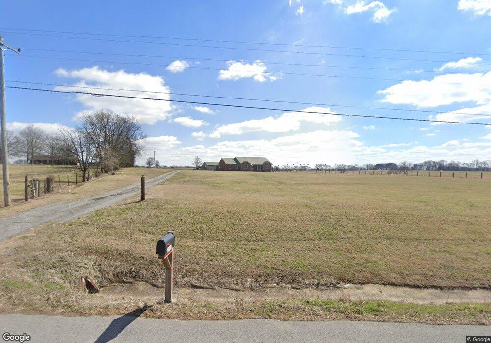
2192 Highway 31 E Gallatin, TN 37066
Estimated Value: $573,000 - $878,000
Studio
2
Baths
2,016
Sq Ft
$360/Sq Ft
Est. Value
About This Home
This home is located at 2192 Highway 31 E, Gallatin, TN 37066 and is currently estimated at $725,500, approximately $359 per square foot. 2192 Highway 31 E is a home located in Sumner County with nearby schools including Benny C. Bills Elementary School, Joe Shafer Middle School, and Gallatin Senior High School.
Ownership History
Date
Name
Owned For
Owner Type
Purchase Details
Closed on
Jan 14, 2010
Sold by
Taulman Ronald D and Taulman Sherrell W
Bought by
Taulman Ronald D and Taulman Sherrell W
Current Estimated Value
Purchase Details
Closed on
Aug 5, 2005
Sold by
Braly Ladye Belle
Bought by
Taulman Ronald D and Taulman Sherrell W
Home Financials for this Owner
Home Financials are based on the most recent Mortgage that was taken out on this home.
Original Mortgage
$150,000
Interest Rate
5.51%
Mortgage Type
Construction
Create a Home Valuation Report for This Property
The Home Valuation Report is an in-depth analysis detailing your home's value as well as a comparison with similar homes in the area
Home Values in the Area
Average Home Value in this Area
Purchase History
| Date | Buyer | Sale Price | Title Company |
|---|---|---|---|
| Taulman Ronald D | -- | None Available | |
| Taulman Ronald D | $15,000 | -- |
Source: Public Records
Mortgage History
| Date | Status | Borrower | Loan Amount |
|---|---|---|---|
| Closed | Taulman Ronald D | $150,000 |
Source: Public Records
Tax History
| Year | Tax Paid | Tax Assessment Tax Assessment Total Assessment is a certain percentage of the fair market value that is determined by local assessors to be the total taxable value of land and additions on the property. | Land | Improvement |
|---|---|---|---|---|
| 2025 | $1,698 | $138,175 | $51,675 | $86,500 |
| 2024 | $1,698 | $138,175 | $51,675 | $86,500 |
| 2023 | $1,698 | $75,400 | $15,950 | $59,450 |
| 2022 | $1,706 | $75,400 | $15,950 | $59,450 |
| 2021 | $1,706 | $75,400 | $15,950 | $59,450 |
| 2020 | $1,706 | $75,400 | $15,950 | $59,450 |
| 2019 | $1,706 | $0 | $0 | $0 |
| 2018 | $1,392 | $0 | $0 | $0 |
| 2017 | $1,392 | $0 | $0 | $0 |
| 2016 | $1,392 | $0 | $0 | $0 |
| 2015 | -- | $0 | $0 | $0 |
| 2014 | -- | $0 | $0 | $0 |
Source: Public Records
Map
Nearby Homes
- 1040 Double Tree Ln
- 118 Sideview Rd
- 120 Sideview Rd
- 1027 Double Tree Ln
- 94 Branham Mill Rd
- 1067 Caballo Trail
- 1008 Millbrook Way
- 1060 Millbrook Way
- 1031 Caballo Trail
- 0 Pond Dr
- 1027 Caballo Trail
- 1036 Millbrook Way
- 353 Branham Mill Rd
- 8 Deshea Creek Rd
- 2 Deshea Creek Rd
- 6 Deshea Creek Rd
- 3 Deshea Creek Rd
- 1 Deshea Creek Rd
- 5 Deshea Creek Rd
- 7 Deshea Creek Rd
- 2202 Highway 31 E
- 2204 Highway 31 E
- 2204 Highway 31 E
- 2201 Highway 31 E
- 2180 Highway 31 E
- 2221 Highway 31 E
- 2203 Highway 31 E
- 2203 Highway 31 E
- 2179 U S 31e
- 2179 Highway 31 E
- 2226 Highway 31 E
- 2215 Highway 31 E
- 2215 Highway 31 E
- 2225 Highway 31 E
- 2155 Highway 31 E
- 2298 Highway 31 E
- 1046 Double Tree Ln
- 1044 Double Tree Ln
- 1042 Double Tree Ln
- 102 Sideview Rd
Your Personal Tour Guide
Ask me questions while you tour the home.