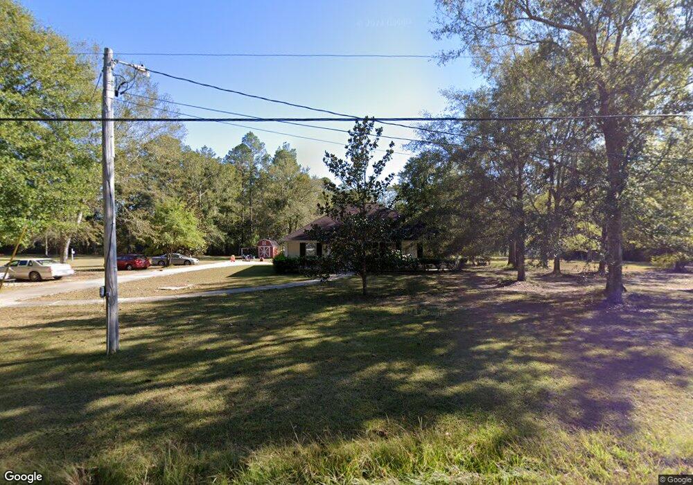
21923 Cap Johnson Rd Moss Point, MS 39562
Estimated Value: $188,073 - $283,000
3
Beds
2
Baths
1,395
Sq Ft
$160/Sq Ft
Est. Value
About This Home
This home is located at 21923 Cap Johnson Rd, Moss Point, MS 39562 and is currently estimated at $222,518, approximately $159 per square foot. 21923 Cap Johnson Rd is a home located in Jackson County with nearby schools including East Central Lower Elementary School, East Central Upper Elementary School, and East Central Middle School.
Ownership History
Date
Name
Owned For
Owner Type
Purchase Details
Closed on
Apr 30, 2015
Sold by
Glamann Betty L and Glamann Donald
Bought by
Gardner Gary G and Gardner Tara G
Current Estimated Value
Home Financials for this Owner
Home Financials are based on the most recent Mortgage that was taken out on this home.
Original Mortgage
$132,500
Outstanding Balance
$101,339
Interest Rate
3.8%
Mortgage Type
VA
Estimated Equity
$121,179
Purchase Details
Closed on
Jul 15, 2014
Sold by
Cyndi S Cyndi S
Bought by
Glamann Betty L
Purchase Details
Closed on
Oct 20, 2010
Sold by
Glamann Betty L
Bought by
Richardson Cyndi S
Create a Home Valuation Report for This Property
The Home Valuation Report is an in-depth analysis detailing your home's value as well as a comparison with similar homes in the area
Purchase History
| Date | Buyer | Sale Price | Title Company |
|---|---|---|---|
| Gardner Gary G | -- | Pilger Title Co | |
| Glamann Betty L | -- | -- | |
| Richardson Cyndi S | -- | Pilger Title Company |
Source: Public Records
Mortgage History
| Date | Status | Borrower | Loan Amount |
|---|---|---|---|
| Open | Gardner Gary G | $132,500 |
Source: Public Records
Tax History
| Year | Tax Paid | Tax Assessment Tax Assessment Total Assessment is a certain percentage of the fair market value that is determined by local assessors to be the total taxable value of land and additions on the property. | Land | Improvement |
|---|---|---|---|---|
| 2025 | -- | $10,922 | $1,533 | $9,389 |
| 2024 | -- | $9,534 | $1,491 | $8,043 |
| 2023 | $0 | $9,534 | $1,491 | $8,043 |
| 2022 | $0 | $9,223 | $0 | $0 |
| 2021 | $0 | $9,223 | $9,223 | $0 |
| 2020 | $0 | $9,223 | $1,381 | $7,842 |
| 2019 | $0 | $9,223 | $1,381 | $7,842 |
| 2018 | $0 | $9,242 | $1,381 | $7,861 |
| 2017 | $0 | $9,242 | $1,381 | $7,861 |
| 2016 | $0 | $9,242 | $1,381 | $7,861 |
| 2015 | $1,548 | $86,270 | $13,810 | $72,460 |
| 2014 | $1,569 | $13,355 | $2,072 | $11,283 |
| 2013 | -- | $13,355 | $2,072 | $11,283 |
Source: Public Records
Map
Nearby Homes
- Tbd Hurley Wade Rd
- 5402 Huckleberry Ln
- 24900 Polktown Rd
- 24040 Robert e Lee Rd
- 24023 Robert e Lee Rd
- 0 Cedar Creek Rd
- 2538 Timber Ln
- 6200 Hurley Wade Rd
- 125 Mulberry Dr
- 5901 Lum Reeves Rd
- 21217 E Trails End Rd
- 24258 Misty Ln
- 24900 Highway 613
- 0 Mississippi 614
- 0000 Mississippi 614
- 0 Hwy 613 Unit 4108899
- 17209 Red Top Ln
- 24997 Eastwood Ln
- 21704 Magnolia Springs Rd
- 0 Ramie Farm Rd
- 21917 Cap Johnson Rd
- 21928 Cap Johnson Rd
- 21931 Cap Johnson Rd
- 22013 Cap Johnson Rd
- 21835 Highway 63
- 22029 Cap Johnson Rd
- 22001 Cap Johnson Rd
- 22001 Olive Branch Rd
- 22043 Cap Johnson Rd
- 2417 Cedarwood Rd
- 22105 William Ward Rd
- 22109 William Ward Rd
- 0 Highway 63 - 35 Acres Unit 4053485
- 21735 Highway 63
- 22113 William Ward Rd
- 22012 William Ward Rd
- 22135 Cap Johnson Rd
- 22229 Shadow View Ln
- 2401 Cedarwood
- 22112 William Ward Rd
Your Personal Tour Guide
Ask me questions while you tour the home.