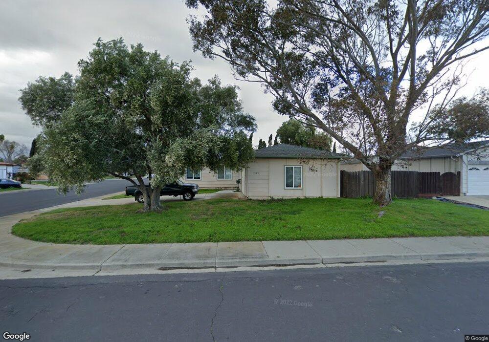
2193 Roan Ct Livermore, CA 94551
Springtown NeighborhoodEstimated Value: $959,478 - $1,082,000
4
Beds
2
Baths
1,418
Sq Ft
$715/Sq Ft
Est. Value
About This Home
This home is located at 2193 Roan Ct, Livermore, CA 94551 and is currently estimated at $1,014,120, approximately $715 per square foot. 2193 Roan Ct is a home located in Alameda County with nearby schools including Altamont Creek Elementary School, Andrew N. Christensen Middle School, and Livermore High School.
Ownership History
Date
Name
Owned For
Owner Type
Purchase Details
Closed on
Nov 21, 2024
Sold by
John T Rambo Revocable Trust and Rambo Catherine J
Bought by
Rambo Residence Trust and Rambo
Current Estimated Value
Purchase Details
Closed on
Sep 5, 2013
Sold by
Rambo John T
Bought by
Rambo John T and The John T Rambo Revocable Tru
Create a Home Valuation Report for This Property
The Home Valuation Report is an in-depth analysis detailing your home's value as well as a comparison with similar homes in the area
Home Values in the Area
Average Home Value in this Area
Purchase History
| Date | Buyer | Sale Price | Title Company |
|---|---|---|---|
| Rambo Residence Trust | -- | None Listed On Document | |
| Rambo Residence Trust | -- | None Listed On Document | |
| Rambo John T | -- | None Available |
Source: Public Records
Tax History Compared to Growth
Tax History
| Year | Tax Paid | Tax Assessment Tax Assessment Total Assessment is a certain percentage of the fair market value that is determined by local assessors to be the total taxable value of land and additions on the property. | Land | Improvement |
|---|---|---|---|---|
| 2025 | $2,042 | $87,492 | $19,228 | $68,264 |
| 2024 | $2,042 | $78,778 | $18,852 | $66,926 |
| 2023 | $1,986 | $84,096 | $18,482 | $65,614 |
| 2022 | $1,933 | $75,448 | $18,120 | $64,328 |
| 2021 | $1,133 | $73,831 | $17,765 | $63,066 |
| 2020 | $1,801 | $80,002 | $17,582 | $62,420 |
| 2019 | $1,788 | $78,434 | $17,238 | $61,196 |
| 2018 | $1,726 | $76,896 | $16,900 | $59,996 |
| 2017 | $1,663 | $75,388 | $16,568 | $58,820 |
| 2016 | $1,572 | $73,911 | $16,244 | $57,667 |
| 2015 | $1,488 | $72,801 | $16,000 | $56,801 |
| 2014 | $1,455 | $71,374 | $15,686 | $55,688 |
Source: Public Records
Map
Nearby Homes
- 2135 Bluebell Dr
- 1806 Bluebell Dr
- 2013 Galloway Common
- 1688 Bluebell Dr
- 2035 Monterey Dr
- 1981 Monterey Dr
- 5179 Crocus Way
- 1464 Columbine Way
- 1370 Daisy Ln
- 1333 Daisy Ln
- 1304 Heather Ln
- 1241 Hibiscus Way
- 0 Dalton Ave Unit 225094100
- 1479 Spring Valley Common
- 4831 Zinnia Ct
- 5904 Skylinks Way
- 5740 Woodrose Way
- 5889 Woodrose Way
- 5801 Flora Common
- 1031 Spring Valley Common
- 2187 Roan Ct
- 2229 Shire Ct
- 2231 Shire Ct
- 2175 Roan Ct
- 2174 Buckskin Rd
- 2188 Buckskin Rd
- 2141 Roan Ct
- 2243 Shire Ct
- 2160 Buckskin Rd
- 2159 Roan Ct
- 2152 Buckskin Rd
- 2163 Roan Ct
- 2232 Buckskin Rd
- 2167 Shetland Rd
- 2171 Shetland Rd
- 2137 Buckskin Rd
- 2155 Shetland Rd
- 2273 Shire Ct
- 2146 Buckskin Rd
- 2244 Buckskin Rd