21930 62 St NW Sunburg, MN 56289
Estimated Value: $583,000 - $692,000
5
Beds
3
Baths
3,165
Sq Ft
$203/Sq Ft
Est. Value
About This Home
This home is located at 21930 62 St NW, Sunburg, MN 56289 and is currently estimated at $643,902, approximately $203 per square foot. 21930 62 St NW is a home located in Kandiyohi County with nearby schools including Prairie Woods Elementary School, New London-Spicer Middle School, and New London-Spicer Senior High School.
Ownership History
Date
Name
Owned For
Owner Type
Purchase Details
Closed on
Oct 30, 2019
Sold by
Hatjistilianos Paul and Hatjistilianos Evaline M
Bought by
Hauge Kelly V and Hauge Gretchen L
Current Estimated Value
Home Financials for this Owner
Home Financials are based on the most recent Mortgage that was taken out on this home.
Original Mortgage
$262,000
Outstanding Balance
$230,722
Interest Rate
3.65%
Mortgage Type
New Conventional
Estimated Equity
$413,180
Create a Home Valuation Report for This Property
The Home Valuation Report is an in-depth analysis detailing your home's value as well as a comparison with similar homes in the area
Home Values in the Area
Average Home Value in this Area
Purchase History
| Date | Buyer | Sale Price | Title Company |
|---|---|---|---|
| Hauge Kelly V | $352,000 | Quality Title Of Willmar Inc |
Source: Public Records
Mortgage History
| Date | Status | Borrower | Loan Amount |
|---|---|---|---|
| Open | Hauge Kelly V | $262,000 |
Source: Public Records
Tax History Compared to Growth
Tax History
| Year | Tax Paid | Tax Assessment Tax Assessment Total Assessment is a certain percentage of the fair market value that is determined by local assessors to be the total taxable value of land and additions on the property. | Land | Improvement |
|---|---|---|---|---|
| 2025 | $7,934 | $568,100 | $216,900 | $351,200 |
| 2024 | $7,314 | $567,700 | $234,300 | $333,400 |
| 2023 | $6,178 | $546,700 | $209,400 | $337,300 |
| 2022 | $5,928 | $451,400 | $179,500 | $271,900 |
| 2021 | $5,338 | $369,600 | $134,600 | $235,000 |
| 2020 | $3,944 | $346,200 | $134,600 | $211,600 |
| 2019 | $3,814 | $369,900 | $149,600 | $220,300 |
| 2018 | $3,696 | $356,800 | $149,600 | $207,200 |
| 2017 | $3,602 | $343,600 | $149,600 | $194,000 |
| 2016 | $3,578 | $3,385 | $0 | $0 |
| 2015 | -- | $0 | $0 | $0 |
| 2014 | -- | $0 | $0 | $0 |
Source: Public Records
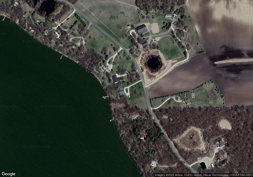
Map
Nearby Homes
- 20983 72nd St NW
- 3614 198th Ave NW
- 23508 County Road 1 NW
- 24680 County Road 1 NW
- 4916 189th Ave NW
- 24175 County Road 5 NW
- 17216 County Road 5 NW
- 23000 5th St NW
- 22869 5th St NW
- 870 S Andrew Dr NE
- 1122 S Andrew Dr NE
- 25757 133rd St NW
- 1245 137th Ave NW
- TBD Lot E Co Rd 40
- 13112 2nd St NE
- 21631 Kandi-Swift Rd NW
- 311 131st Ave NE
- 13300 330th St
- TBD Lot H Co Rd 40
- 13595 320th St
- 21930 62nd St NW
- 21910 62nd St NW
- 22200 62nd St NW
- 21890 62nd St NW
- 21950 62nd St NW
- 21943 62nd St NW
- 21943 62nd St NW
- 21911 62nd St NW
- 21911 21911 62nd-Street-nw
- 21943 21943 Nw 62 St
- 22010 62nd St NW
- 22010 62nd St NW
- 21810 62nd St NW
- 22058 62nd St NW
- 22058 62nd St NW
- 22030 62nd St NW
- 21799 62nd St NW
- 21925 62nd St NW
- 21790 62nd St NW
- 21790 62nd St NW