21931 Cap Johnson Rd Moss Point, MS 39562
Estimated Value: $231,000 - $332,000
--
Bed
2
Baths
2,313
Sq Ft
$122/Sq Ft
Est. Value
About This Home
This home is located at 21931 Cap Johnson Rd, Moss Point, MS 39562 and is currently estimated at $281,266, approximately $121 per square foot. 21931 Cap Johnson Rd is a home located in Jackson County with nearby schools including East Central Lower Elementary School, East Central Upper Elementary School, and East Central Middle School.
Ownership History
Date
Name
Owned For
Owner Type
Purchase Details
Closed on
Jan 20, 2023
Sold by
Devitt Ashley Marie and Ashley Marie
Bought by
Devitt Ashley Marie
Current Estimated Value
Home Financials for this Owner
Home Financials are based on the most recent Mortgage that was taken out on this home.
Original Mortgage
$135,327
Outstanding Balance
$130,916
Interest Rate
6.31%
Mortgage Type
New Conventional
Estimated Equity
$150,350
Create a Home Valuation Report for This Property
The Home Valuation Report is an in-depth analysis detailing your home's value as well as a comparison with similar homes in the area
Home Values in the Area
Average Home Value in this Area
Purchase History
| Date | Buyer | Sale Price | Title Company |
|---|---|---|---|
| Devitt Ashley Marie | -- | Vantage Point Title |
Source: Public Records
Mortgage History
| Date | Status | Borrower | Loan Amount |
|---|---|---|---|
| Open | Devitt Ashley Marie | $135,327 |
Source: Public Records
Tax History Compared to Growth
Tax History
| Year | Tax Paid | Tax Assessment Tax Assessment Total Assessment is a certain percentage of the fair market value that is determined by local assessors to be the total taxable value of land and additions on the property. | Land | Improvement |
|---|---|---|---|---|
| 2024 | $2,812 | $23,431 | $2,748 | $20,683 |
| 2023 | $2,812 | $15,621 | $1,832 | $13,789 |
| 2022 | $1,522 | $15,621 | $1,832 | $13,789 |
| 2021 | $1,529 | $15,689 | $1,832 | $13,857 |
| 2020 | $1,508 | $14,963 | $1,696 | $13,267 |
| 2019 | $1,488 | $14,963 | $1,696 | $13,267 |
| 2018 | $1,499 | $14,768 | $1,696 | $13,072 |
| 2017 | $1,529 | $14,768 | $1,696 | $13,072 |
| 2016 | $1,457 | $14,768 | $1,696 | $13,072 |
| 2015 | $1,342 | $137,290 | $16,960 | $120,330 |
| 2014 | $1,394 | $14,424 | $1,696 | $12,728 |
| 2013 | $1,338 | $14,424 | $1,696 | $12,728 |
Source: Public Records
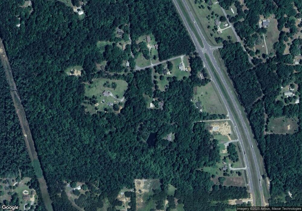
Map
Nearby Homes
- 21629 Mississippi 63
- 21110 Highway 63
- 2500 Tearose Ln
- 2530 Hardy Parker Rd
- 2400 Hardy Parker
- 5402 Huckleberry Ln
- Lot 32 Huckleberry Ln
- 24000 Robert e Lee Rd
- 24040 Robert e Lee Rd
- 37.9 Acres Ceres Farm Rd
- 0 Cedar Creek Rd
- 6201 Lum Reeves Rd
- 21217 E Trails End Rd
- 6709 Caraway Rd
- 0 Rosedale Church Rd
- 17116 Pierce St
- 0 Hwy 613 Unit 4123325
- 0 Hwy 613 Unit 4108899
- 0 Sampson Rd
- 0 Ramie Farm Rd
- 21923 Cap Johnson Rd
- 21835 Highway 63
- 22001 Cap Johnson Rd
- 22001 Olive Branch Rd
- 21917 Cap Johnson Rd
- 22013 Cap Johnson Rd
- 21928 Cap Johnson Rd
- 22029 Cap Johnson Rd
- 21735 Highway 63
- 2417 Cedarwood Rd
- 22043 Cap Johnson Rd
- 0 Highway 63 - 35 Acres Unit 4053485
- 21713 Highway 63
- 21713 Mississippi 63
- 21636 Billy Johnson Rd
- 21827 Highway 63 Unit DRO
- 22105 William Ward Rd
- 21533 Johnson Branch Rd
- 2401 Cedarwood
- 22012 William Ward Rd