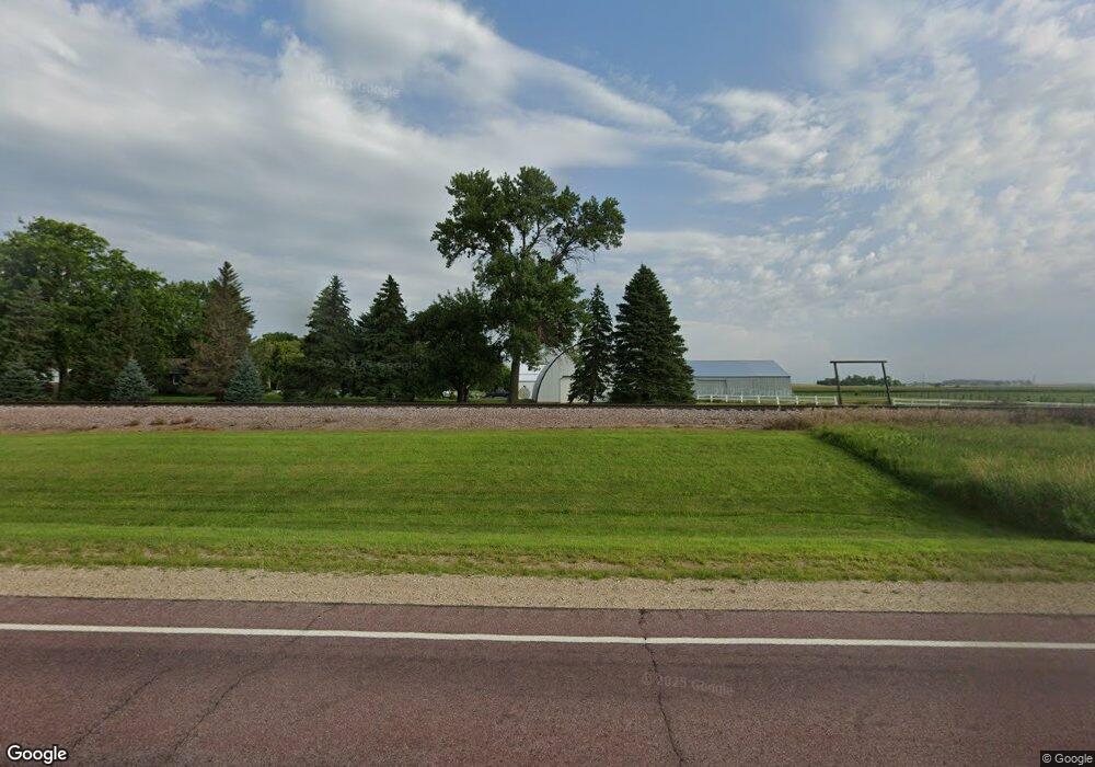
21940 Us Highway 14 Sleepy Eye, MN 56085
Estimated Value: $261,000 - $397,000
4
Beds
2
Baths
1,856
Sq Ft
$186/Sq Ft
Est. Value
About This Home
This home is located at 21940 Us Highway 14, Sleepy Eye, MN 56085 and is currently estimated at $345,478, approximately $186 per square foot. 21940 Us Highway 14 is a home located in Brown County with nearby schools including Sleepy Eye Elementary School and Sleepy Eye Secondary School.
Ownership History
Date
Name
Owned For
Owner Type
Purchase Details
Closed on
Oct 5, 2010
Sold by
Losleben Ricky T and Losleben Lucille B
Bought by
Berle Landen T
Current Estimated Value
Home Financials for this Owner
Home Financials are based on the most recent Mortgage that was taken out on this home.
Original Mortgage
$156,400
Outstanding Balance
$102,944
Interest Rate
4.3%
Estimated Equity
$242,534
Create a Home Valuation Report for This Property
The Home Valuation Report is an in-depth analysis detailing your home's value as well as a comparison with similar homes in the area
Home Values in the Area
Average Home Value in this Area
Purchase History
| Date | Buyer | Sale Price | Title Company |
|---|---|---|---|
| Berle Landen T | -- | -- |
Source: Public Records
Mortgage History
| Date | Status | Borrower | Loan Amount |
|---|---|---|---|
| Open | Berle Landen T | $156,400 |
Source: Public Records
Tax History Compared to Growth
Tax History
| Year | Tax Paid | Tax Assessment Tax Assessment Total Assessment is a certain percentage of the fair market value that is determined by local assessors to be the total taxable value of land and additions on the property. | Land | Improvement |
|---|---|---|---|---|
| 2024 | $1,418 | $321,500 | $96,500 | $225,000 |
| 2023 | $1,418 | $311,500 | $96,800 | $214,700 |
| 2022 | $1,361 | $265,500 | $83,300 | $182,200 |
| 2021 | $1,545 | $247,800 | $90,000 | $157,800 |
| 2020 | $1,510 | $244,200 | $83,400 | $160,800 |
| 2019 | $1,696 | $246,900 | $95,200 | $151,700 |
| 2018 | $1,452 | $271,300 | $95,200 | $176,100 |
| 2017 | $1,322 | $269,500 | $95,400 | $174,100 |
| 2016 | $3,040 | $256,014 | $0 | $0 |
| 2015 | -- | $0 | $0 | $0 |
| 2014 | -- | $0 | $0 | $0 |
| 2013 | -- | $0 | $0 | $0 |
Source: Public Records
Map
Nearby Homes
- xxx 225th St
- 709 6th Ave NE
- 604 Birch St NE
- 731 3rd Ave NE
- 625 3rd Ave NE
- 508 Summit St SE
- 121 3rd Ave NE
- 313 Linden St SE
- 104 Elm St NW
- 25241 State Highway 4
- 18004 Kc Rd
- 409 Main St W
- 905 2nd Ave SW
- 420 Walnut St SW
- 0 Main St W
- 605 Water St SW
- 721 Maple St SW
- 2323 Lake Ave
- 2319 Lake Ave
- 1822 Ryan Rd
- 22075 250th St
- 23968 217th Ave
- 23999 217th Ave
- 22144 250th St
- 21790 250th St
- 24834 W Essig St
- 24830 W Essig St
- 21472 21472 3rd St
- 21438 2nd St
- 24925 W Essig St
- 21472 3rd St
- 21472 3rd St
- 21455 3rd St
- 21860 County Road 27
- 24865 Main St
- 22775 250th St
- 24900 24900 Main St
- 24862 Main St
- 21332 2nd St
- 24900 Main St