Estimated Value: $256,000 - $410,998
3
Beds
3
Baths
3,010
Sq Ft
$111/Sq Ft
Est. Value
About This Home
This home is located at 21946 255th St, Leon, IA 50144 and is currently estimated at $333,499, approximately $110 per square foot. 21946 255th St is a home located in Decatur County with nearby schools including South Elementary School, North Elementary School, and Central Decatur Middle/High School.
Ownership History
Date
Name
Owned For
Owner Type
Purchase Details
Closed on
Jan 17, 2025
Sold by
Loheed Hugh Bradford
Bought by
Hugh Loheed Revocable Trust
Current Estimated Value
Purchase Details
Closed on
Oct 13, 2017
Sold by
Tharp Douglas Leroy and Tharp Rhonda Rae
Bought by
Tharp Nicholas Scott and Tharp Michelle
Create a Home Valuation Report for This Property
The Home Valuation Report is an in-depth analysis detailing your home's value as well as a comparison with similar homes in the area
Purchase History
| Date | Buyer | Sale Price | Title Company |
|---|---|---|---|
| Hugh Loheed Revocable Trust | -- | None Listed On Document | |
| Tharp Nicholas Scott | -- | None Available |
Source: Public Records
Tax History
| Year | Tax Paid | Tax Assessment Tax Assessment Total Assessment is a certain percentage of the fair market value that is determined by local assessors to be the total taxable value of land and additions on the property. | Land | Improvement |
|---|---|---|---|---|
| 2024 | $4,454 | $330,440 | $100,350 | $230,090 |
| 2023 | $3,644 | $330,440 | $100,350 | $230,090 |
| 2022 | $3,576 | $219,201 | $21,453 | $197,748 |
| 2021 | $3,818 | $219,201 | $21,453 | $197,748 |
| 2019 | $3,838 | $177,735 | $0 | $0 |
| 2018 | $3,838 | $177,735 | $0 | $0 |
| 2017 | $3,764 | $160,662 | $0 | $0 |
| 2016 | $3,212 | $160,662 | $0 | $0 |
| 2015 | $3,212 | $160,889 | $0 | $0 |
| 2014 | $6,356 | $160,889 | $0 | $0 |
| 2013 | $2,870 | $0 | $0 | $0 |
Source: Public Records
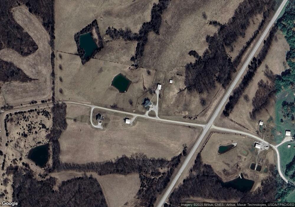
Map
Nearby Homes
- 24593 McGruder Creek Rd
- 201 E High St
- 105 E High St
- 000 E High St
- SE Corner W High St
- 615 W Mill St
- 194th Avenue
- 0 McGruder Creek Rd Unit Leon Iowa 50144
- 0 194th Ave
- 20000 295th Ave
- 906 SE Q St
- 20000 295th St
- 702 S Main St
- 25069 McGruder Creek
- 102 S Main St
- 201 SE Locust St
- 501 NW 6th St
- 205 NE Q St
- 205 NW 7th St
- 305 NW 8th St
Your Personal Tour Guide
Ask me questions while you tour the home.