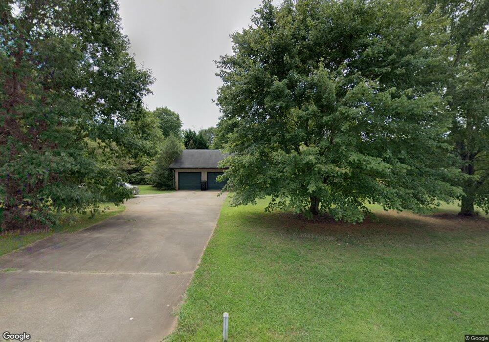
2195 Highway 182 Lincolnton, NC 28092
Estimated Value: $311,000 - $353,256
2
Beds
2
Baths
1,666
Sq Ft
$199/Sq Ft
Est. Value
About This Home
This home is located at 2195 Highway 182, Lincolnton, NC 28092 and is currently estimated at $330,814, approximately $198 per square foot. 2195 Highway 182 is a home located in Lincoln County with nearby schools including Norris S. Childers Elementary School, West Lincoln Middle, and West Lincoln High School.
Ownership History
Date
Name
Owned For
Owner Type
Purchase Details
Closed on
Jun 2, 2016
Sold by
Rogers Lois Bueker
Bought by
Lawler Jack and Lawler June
Current Estimated Value
Home Financials for this Owner
Home Financials are based on the most recent Mortgage that was taken out on this home.
Original Mortgage
$96,380
Outstanding Balance
$43,163
Interest Rate
3.59%
Mortgage Type
New Conventional
Estimated Equity
$287,651
Purchase Details
Closed on
Aug 31, 2005
Sold by
Broome Timothy W and Broome Kathleen M
Bought by
Rogers Lois Bucker
Purchase Details
Closed on
Oct 2, 1992
Bought by
Broome Timothy W and Broom Kathleen M
Create a Home Valuation Report for This Property
The Home Valuation Report is an in-depth analysis detailing your home's value as well as a comparison with similar homes in the area
Home Values in the Area
Average Home Value in this Area
Purchase History
| Date | Buyer | Sale Price | Title Company |
|---|---|---|---|
| Lawler Jack | $129,000 | None Available | |
| Rogers Lois Bucker | $155,000 | None Available | |
| Broome Timothy W | $86,000 | -- |
Source: Public Records
Mortgage History
| Date | Status | Borrower | Loan Amount |
|---|---|---|---|
| Open | Lawler Jack | $96,380 |
Source: Public Records
Tax History Compared to Growth
Tax History
| Year | Tax Paid | Tax Assessment Tax Assessment Total Assessment is a certain percentage of the fair market value that is determined by local assessors to be the total taxable value of land and additions on the property. | Land | Improvement |
|---|---|---|---|---|
| 2025 | $1,725 | $249,819 | $58,179 | $191,640 |
| 2024 | $1,705 | $249,819 | $58,179 | $191,640 |
| 2023 | $1,700 | $249,819 | $58,179 | $191,640 |
| 2022 | $1,342 | $162,646 | $46,725 | $115,921 |
| 2021 | $1,342 | $162,646 | $46,725 | $115,921 |
| 2020 | $1,195 | $162,646 | $46,725 | $115,921 |
| 2019 | $1,195 | $162,646 | $46,725 | $115,921 |
| 2018 | $1,151 | $143,208 | $40,725 | $102,483 |
| 2017 | $1,050 | $143,208 | $40,725 | $102,483 |
| 2016 | $1,050 | $143,208 | $40,725 | $102,483 |
| 2015 | $1,126 | $145,169 | $40,725 | $104,444 |
| 2014 | $1,288 | $171,498 | $43,680 | $127,818 |
Source: Public Records
Map
Nearby Homes
- 963 Sunbeam Dr
- 2700 Moose Gantt Trail
- 2383 N Carolina 182
- 1214 Pleasant Grove Church Rd
- 938 Lyndsey Brook Ct
- 1074 Lyndsey Brook Ct
- 3103 Richview Dr
- 1084 Lyndsey Brook Ct
- 00 George Brown Rd Unit 10
- 00 George Brown Rd Unit 9
- 00 George Brown Rd Unit 8
- 00 George Brown Rd Unit 7
- 00 George Brown Rd Unit 6
- 00 George Brown Rd Unit 5
- 00 George Brown Rd Unit 4
- 00 George Brown Rd Unit 3
- 00 George Brown Rd Unit 2
- 792 Mace Ln
- 1357 Malden Ct
- 1000 Creekside Dr
- Lot 21 George Brown Rd
- 2221 Highway 182
- 2161 Highway 182
- 2190 Highway 182
- 2176 Highway 182
- 2130 Highway 182
- 2235 Highway 182
- 960 George Brown Rd
- 2141 Highway 182
- 2158 Highway 182
- 2152 N Carolina 182
- 2232 Highway 182
- 2249 N Carolina 182
- 2249 Highway 182
- 2127 Highway 182
- 2146 N Carolina 182
- 838 Meadow Hill Ct
- 858 Meadow Hill Ct
- 982 George Brown Rd
- 980 George Brown Rd