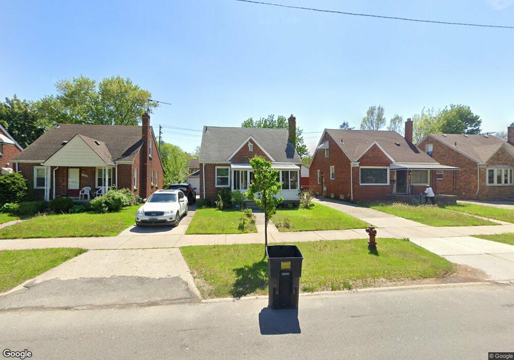
21954 Moross Rd Grosse Pointe, MI 48236
Cornerstone Village NeighborhoodEstimated Value: $84,515 - $142,000
Studio
1
Bath
1,020
Sq Ft
$117/Sq Ft
Est. Value
About This Home
This home is located at 21954 Moross Rd, Grosse Pointe, MI 48236 and is currently estimated at $118,879, approximately $116 per square foot. 21954 Moross Rd is a home located in Wayne County with nearby schools including Marquette Elementary-Middle School, Edward 'Duke' Ellington Conservatory of Music and Art, and Charles L. Spain Elementary-Middle School.
Ownership History
Date
Name
Owned For
Owner Type
Purchase Details
Closed on
Jan 15, 2020
Sold by
Day Denisha R and Day Wilfred
Bought by
Day Denisha R and Davidson Latanya
Current Estimated Value
Purchase Details
Closed on
May 3, 2003
Sold by
Day Wilfred and Richards Diana
Bought by
Day Wilfred
Home Financials for this Owner
Home Financials are based on the most recent Mortgage that was taken out on this home.
Original Mortgage
$76,000
Outstanding Balance
$33,416
Interest Rate
5.95%
Mortgage Type
Purchase Money Mortgage
Estimated Equity
$85,463
Purchase Details
Closed on
May 31, 1995
Sold by
Cappellaro Marino
Bought by
Wilfred Day and Wilfred Diana Richards
Create a Home Valuation Report for This Property
The Home Valuation Report is an in-depth analysis detailing your home's value as well as a comparison with similar homes in the area
Home Values in the Area
Average Home Value in this Area
Purchase History
| Date | Buyer | Sale Price | Title Company |
|---|---|---|---|
| Day Denisha R | -- | None Available | |
| Day Wilfred | -- | -- | |
| Wilfred Day | $50,000 | -- |
Source: Public Records
Mortgage History
| Date | Status | Borrower | Loan Amount |
|---|---|---|---|
| Open | Day Wilfred | $76,000 |
Source: Public Records
Tax History
| Year | Tax Paid | Tax Assessment Tax Assessment Total Assessment is a certain percentage of the fair market value that is determined by local assessors to be the total taxable value of land and additions on the property. | Land | Improvement |
|---|---|---|---|---|
| 2025 | $902 | $37,400 | $0 | $0 |
| 2024 | $1,266 | $32,300 | $0 | $0 |
| 2023 | $1,229 | $24,000 | $0 | $0 |
| 2022 | $1,310 | $21,100 | $0 | $0 |
| 2021 | $1,274 | $16,500 | $0 | $0 |
| 2020 | $1,062 | $14,800 | $0 | $0 |
| 2019 | $1,046 | $12,800 | $0 | $0 |
| 2018 | $899 | $11,200 | $0 | $0 |
| 2017 | $216 | $11,400 | $0 | $0 |
| 2016 | $1,472 | $20,500 | $0 | $0 |
| 2015 | $2,050 | $20,500 | $0 | $0 |
| 2013 | $2,926 | $29,263 | $0 | $0 |
| 2010 | -- | $42,903 | $899 | $42,004 |
Source: Public Records
Map
Nearby Homes
- 21820 Moross Rd
- 21806 Moross Rd
- 21800 Moross Rd
- 21756 Moross Rd
- 21718 Moross Rd
- 19217 Linville St
- 5228 Hillcrest St
- 5514 Ashley St
- 5231 Lannoo St
- 19299 Raymond St
- 19196 Berden St
- 18904 Mallina St
- 19134 Mallina St
- 6144 Radnor St
- 5951 Radnor St
- 5056 Lafontaine St
- 5754 Farmbrook St
- 21602 Newcastle Rd
- 5007 Ashley St
- 6300 Radnor St
- 21946 Moross Rd
- 21960 Moross Rd
- 21938 Moross Rd
- 21930 Moross Rd
- 21978 Moross Rd
- 5662 Hillcrest St
- 5670 Hillcrest St
- 5656 Hillcrest St
- 5678 Hillcrest St
- 21922 Moross Rd
- 5684 Hillcrest St
- 21986 Moross Rd
- 5646 Hillcrest St
- 5690 Hillcrest St
- 21916 Moross Rd
- 21994 Moross Rd
- 5636 Hillcrest St
- 5636 Hillcrest St
- 5700 Hillcrest St
- 22000 Moross Rd
Your Personal Tour Guide
Ask me questions while you tour the home.