2196 Baker Rd Goodlettsville, TN 37072
Estimated Value: $443,000 - $528,455
2
Beds
2
Baths
1,344
Sq Ft
$369/Sq Ft
Est. Value
About This Home
This home is located at 2196 Baker Rd, Goodlettsville, TN 37072 and is currently estimated at $495,364, approximately $368 per square foot. 2196 Baker Rd is a home located in Davidson County with nearby schools including Goodlettsville Elementary School, Goodlettsville Middle School, and Hunters Lane Comprehensive High School.
Ownership History
Date
Name
Owned For
Owner Type
Purchase Details
Closed on
Mar 9, 2023
Sold by
Winn John R
Bought by
Spencer Danyell
Current Estimated Value
Purchase Details
Closed on
Sep 13, 2005
Sold by
Smith James N
Bought by
Winn John R and Winn Brenda
Home Financials for this Owner
Home Financials are based on the most recent Mortgage that was taken out on this home.
Original Mortgage
$108,000
Interest Rate
5.77%
Mortgage Type
Fannie Mae Freddie Mac
Create a Home Valuation Report for This Property
The Home Valuation Report is an in-depth analysis detailing your home's value as well as a comparison with similar homes in the area
Home Values in the Area
Average Home Value in this Area
Purchase History
| Date | Buyer | Sale Price | Title Company |
|---|---|---|---|
| Spencer Danyell | -- | -- | |
| Winn John R | $135,000 | Rudy Title & Escrow Llc |
Source: Public Records
Mortgage History
| Date | Status | Borrower | Loan Amount |
|---|---|---|---|
| Previous Owner | Winn John R | $108,000 |
Source: Public Records
Tax History Compared to Growth
Tax History
| Year | Tax Paid | Tax Assessment Tax Assessment Total Assessment is a certain percentage of the fair market value that is determined by local assessors to be the total taxable value of land and additions on the property. | Land | Improvement |
|---|---|---|---|---|
| 2024 | $2,169 | $74,239 | $12,014 | $62,225 |
| 2023 | $2,169 | $74,239 | $12,014 | $62,225 |
| 2022 | $2,169 | $74,239 | $12,014 | $62,225 |
| 2021 | $2,192 | $74,239 | $12,014 | $62,225 |
| 2020 | $1,858 | $49,037 | $9,612 | $39,425 |
| 2019 | $1,351 | $49,037 | $9,612 | $39,425 |
| 2018 | $1,351 | $49,037 | $9,612 | $39,425 |
| 2017 | $1,351 | $49,037 | $9,612 | $39,425 |
| 2016 | $1,712 | $43,635 | $8,610 | $35,025 |
| 2015 | $1,712 | $43,635 | $8,610 | $35,025 |
| 2014 | $1,712 | $43,635 | $8,610 | $35,025 |
Source: Public Records
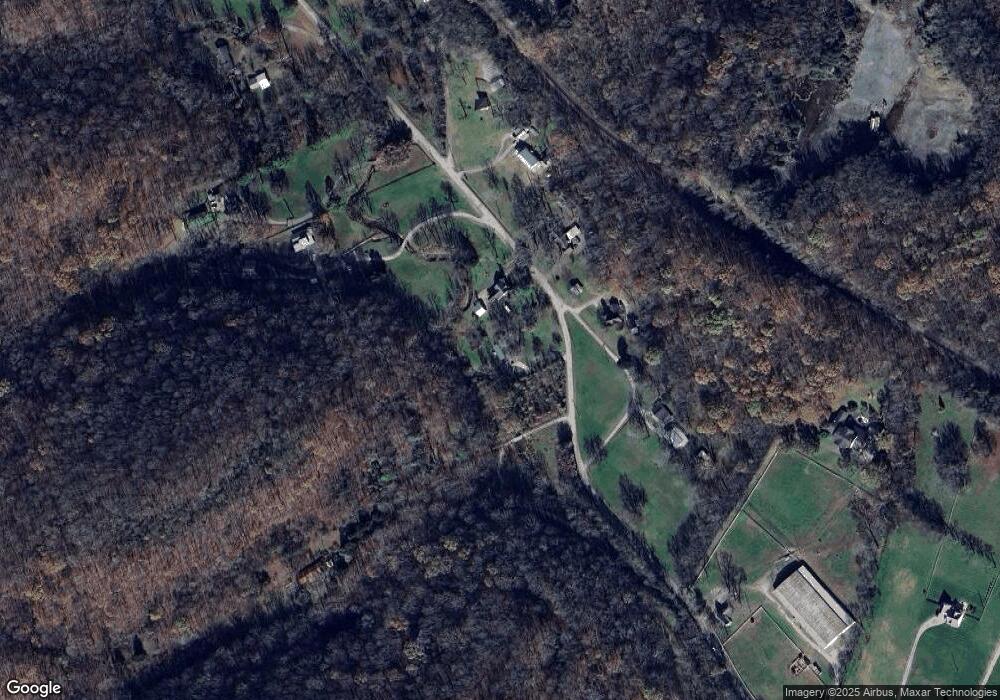
Map
Nearby Homes
- 0 Baker Station Rd
- 3250 Freeman Hollow Rd
- 1551 Springfield Hwy
- 1535 Springfield Hwy
- 2205 Kayla Dr
- 2132 Baker Station Rd
- 1900 Tinnin Rd Unit 11
- 1322 Springfield Hwy
- 1861 Fox Chase Dr
- 916 Graceland Ct
- 4191 Wildflower Way
- 2033 Graceland Dr
- 2049 Graceland Dr
- 6270 Lickton Pike
- 6272 Lickton Pike
- 0 Greer Rd Unit RTC2830717
- 0 Lickton Pike Unit RTC2705272
- 131 Brookview Cir
- 103 Cartwright Pkwy
- 2019 Lassiter Dr
- 2212 Baker Rd
- 2202 Baker Rd
- 2217 Baker Rd
- 2205 Old Baker Rd
- 2222 Baker Rd
- 2190 Baker Rd
- 2199 Old Baker Rd
- 2225 Baker Rd
- 2069 Baker Rd
- 2186 Baker Rd
- 2154 Baker Rd
- 2145 Baker Rd
- 2165 Baker Rd
- 2228 Baker Rd
- 2248 Baker Rd
- 2048 Old Baker Rd
- 2115 Baker Station Rd
- 2127 Baker Rd
- 3331 Freeman Hollow Rd
- 2121 Baker Rd