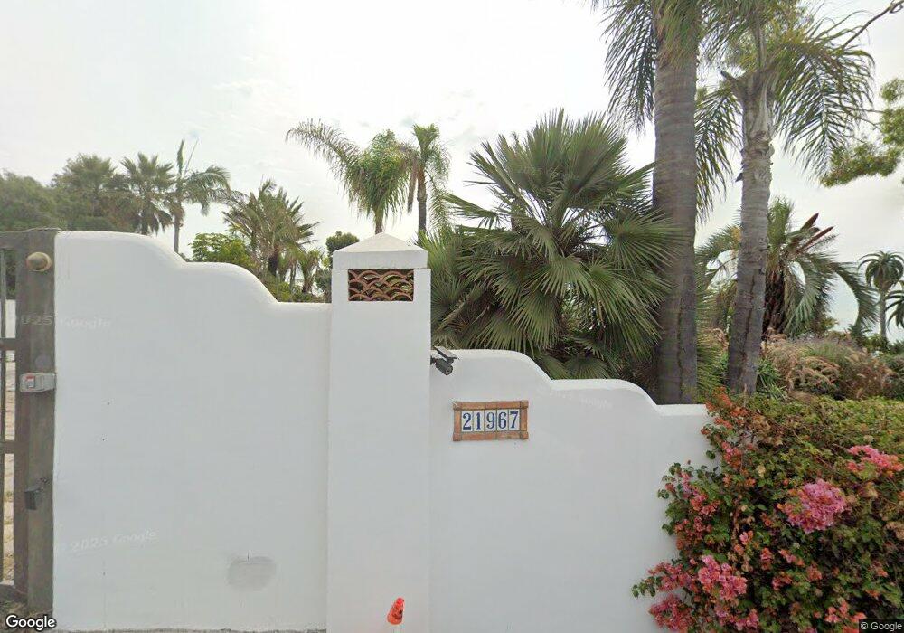
21967 Pacific Coast Hwy Malibu, CA 90265
Estimated Value: $4,065,000 - $4,519,000
3
Beds
3
Baths
2,633
Sq Ft
$1,645/Sq Ft
Est. Value
About This Home
This home is located at 21967 Pacific Coast Hwy, Malibu, CA 90265 and is currently estimated at $4,331,743, approximately $1,645 per square foot. 21967 Pacific Coast Hwy is a home located in Los Angeles County with nearby schools including Webster Elementary School, Malibu Middle School, and Malibu High School.
Ownership History
Date
Name
Owned For
Owner Type
Purchase Details
Closed on
Apr 19, 2018
Sold by
Burzinski Ii Edward M
Bought by
Burzinski Ii Edward M
Current Estimated Value
Purchase Details
Closed on
Apr 6, 2018
Sold by
Burzinski Ii Edward M
Bought by
Margolin Ellen
Purchase Details
Closed on
Sep 13, 2016
Sold by
Burzinski Ii Edward M
Bought by
Burzinski Ii Edward M and Edward M Burzinsky Ii Revocable Trust
Create a Home Valuation Report for This Property
The Home Valuation Report is an in-depth analysis detailing your home's value as well as a comparison with similar homes in the area
Home Values in the Area
Average Home Value in this Area
Purchase History
| Date | Buyer | Sale Price | Title Company |
|---|---|---|---|
| Burzinski Ii Edward M | -- | Fidelity Sherman Oaks | |
| Margolin Ellen | -- | Fidelity Sherman Oaks | |
| Burzinski Ii Edward M | -- | None Available | |
| Burzinski Ii Edward M | -- | None Available |
Source: Public Records
Tax History Compared to Growth
Tax History
| Year | Tax Paid | Tax Assessment Tax Assessment Total Assessment is a certain percentage of the fair market value that is determined by local assessors to be the total taxable value of land and additions on the property. | Land | Improvement |
|---|---|---|---|---|
| 2025 | $16,287 | $423,460 | $423,460 | -- |
| 2024 | $16,287 | $1,314,466 | $638,701 | $675,765 |
| 2023 | $15,457 | $1,288,693 | $626,178 | $662,515 |
| 2022 | $15,238 | $1,263,425 | $613,900 | $649,525 |
| 2021 | $14,892 | $1,238,653 | $601,863 | $636,790 |
| 2019 | $15,030 | $1,201,915 | $584,012 | $617,903 |
| 2018 | $14,197 | $1,178,349 | $572,561 | $605,788 |
| 2016 | $13,664 | $1,132,594 | $550,329 | $582,265 |
| 2015 | $13,482 | $1,115,582 | $542,063 | $573,519 |
| 2014 | $12,943 | $1,093,730 | $531,445 | $562,285 |
Source: Public Records
Map
Nearby Homes
- 3903 Carbon Canyon Rd
- 22065 Pacific Coast Hwy Unit 1
- 22065 Pacific Coast Hwy Unit 3
- 22065 Pacific Coast Hwy Unit 7
- 0 Carbon Unit 21952197
- 22105 Carbon Mesa Rd
- 21711 Pacific Coast Hwy
- 22456 Carbon Mesa Rd
- 3079 Rambla Pacifico
- 5024 Carbon Beach Terrace
- 21540 Pacific Coast Hwy
- 22368 Pacific Coast Hwy
- 21506 Pacific Coast Hwy
- 21471 Calle Del Barco
- 21415 Rambla Vista
- 3851 Rambla Orienta
- 22548 Pacific Coast Hwy Unit 403
- 22548 Pacific Coast Hwy Unit 401
- 22548 Pacific Coast Hwy Unit 311
- 22548 Pacific Coast Hwy Unit 214
- 3853 Carbon Canyon Rd
- 21999 Pacific Coast Hwy
- 3859 Carbon Canyon Rd
- 22001 Pacific Coast Hwy Unit GH
- 22001 Pacific Coast Hwy
- 3873 Carbon Canyon Rd
- 21945 Pacific Coast Hwy
- 21977 Pacific Coast Hwy
- 22003 Pacific Coast Hwy
- 3858 Carbon Canyon Rd
- 22007 Pacific Coast Hwy
- 21962 Pacific Coast Hwy
- 21925 Pacific Coast Hwy
- 22029 Pacific Coast Hwy
- 21970 Pacific Coast Hwy
- 21958 Pacific Coast Hwy
- 22000 Pacific Coast Hwy
- 21950 Pacific Coast Hwy
- 22008 Pacific Coast Hwy
- 21942 Pacific Coast Hwy