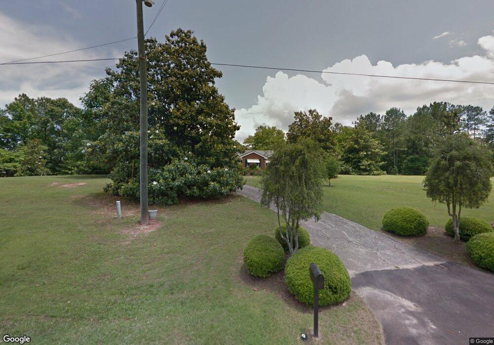
2197 E Highway 5 Whitesburg, GA 30185
Estimated Value: $292,000 - $504,000
4
Beds
2
Baths
2,772
Sq Ft
$142/Sq Ft
Est. Value
About This Home
This home is located at 2197 E Highway 5, Whitesburg, GA 30185 and is currently estimated at $394,738, approximately $142 per square foot. 2197 E Highway 5 is a home located in Carroll County with nearby schools including Whitesburg Elementary School, Central Middle School, and Central High School.
Ownership History
Date
Name
Owned For
Owner Type
Purchase Details
Closed on
Aug 4, 2022
Sold by
Harris Lisa Renee
Bought by
Fenner Ann Ryan and Fenner Jamie
Current Estimated Value
Purchase Details
Closed on
Jun 5, 2018
Sold by
Harris Lisa Renee
Bought by
Harris Lisa Renee and Harris Imogene Carnes
Purchase Details
Closed on
Feb 7, 2018
Sold by
Harris Lisa Renee
Bought by
Harris Lisa Renee and Harris Imogene
Purchase Details
Closed on
Dec 27, 1996
Sold by
Harris A T
Bought by
Harris Renee
Purchase Details
Closed on
Feb 22, 1958
Bought by
Harris A T
Create a Home Valuation Report for This Property
The Home Valuation Report is an in-depth analysis detailing your home's value as well as a comparison with similar homes in the area
Home Values in the Area
Average Home Value in this Area
Purchase History
| Date | Buyer | Sale Price | Title Company |
|---|---|---|---|
| Fenner Ann Ryan | -- | -- | |
| Harris Lisa Renee | -- | -- | |
| Harris Lisa Renee | -- | -- | |
| Harris Renee | -- | -- | |
| Harris A T | -- | -- |
Source: Public Records
Tax History Compared to Growth
Tax History
| Year | Tax Paid | Tax Assessment Tax Assessment Total Assessment is a certain percentage of the fair market value that is determined by local assessors to be the total taxable value of land and additions on the property. | Land | Improvement |
|---|---|---|---|---|
| 2025 | $2,336 | $199,345 | $23,608 | $175,737 |
| 2024 | $2,362 | $199,345 | $23,608 | $175,737 |
| 2023 | $2,580 | $185,908 | $18,887 | $167,021 |
| 2022 | $2,115 | $146,727 | $12,591 | $134,136 |
| 2021 | $1,874 | $116,760 | $10,073 | $106,687 |
| 2020 | $1,754 | $103,746 | $9,157 | $94,589 |
| 2019 | $1,665 | $94,916 | $9,157 | $85,759 |
| 2018 | $2,174 | $88,345 | $8,558 | $79,787 |
| 2017 | $2,327 | $88,345 | $8,558 | $79,787 |
| 2016 | $2,328 | $88,345 | $8,558 | $79,787 |
| 2015 | $1,432 | $51,214 | $7,801 | $43,414 |
| 2014 | $850 | $30,268 | $7,801 | $22,467 |
Source: Public Records
Map
Nearby Homes
- 10 Wigwam Cir
- 46 Helen Ct
- 0 Hamilton Rd Unit LOT 1 10554357
- 0 Hamilton Rd Unit 10480307
- 0 Hamilton Rd Unit 10480360
- 2116 Jones Mill Rd
- 89 Copeland Rd
- 8322 Loch Lomand Ln
- 8342 Loch Lomand Ln
- 8345 Loch Lomand Ln
- 8050 Campbellton Redwine Rd
- 8325 Loch Lomand Ln
- 8351 Dublin Dr
- 8910 Callaway Dr
- 8981 Callaway Dr
- 8870 Callaway Dr
- 8970 Callaway Dr
- 8754 St Andrews Pkwy
- Hazel Plan at St. Andrews
- Fairview Plan at St. Andrews
- 2205 E Highway 5
- 2205 Georgia 5
- 2200 E Highway 5
- 163 Shockley Dr
- 4016 Hutcheson Ferry Rd
- 2137 E Highway 5
- 4062 Hutcheson Ferry Rd
- 3948 Hutchenson Ferry Rd
- 2250 E Highway 5
- 28.08 Shockley Dr
- 4186 Hutcheson Ferry Rd
- 3952 Hutcheson Ferry Rd
- 3948 Hutcheson Ferry Rd
- 2330 E Highway 5
- 96 Shockley Dr
- 90 Shockley Dr
- 4139 Hutcheson Ferry Rd
- 3955 Hutcheson Ferry Rd
- 2311 Black Dirt Rd
- 4196 Hutcheson Ferry Rd