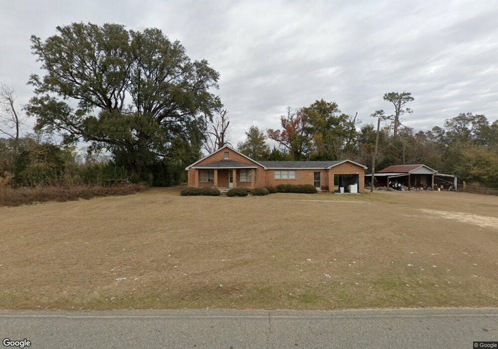
2197 Whites Bridge Rd Colquitt, GA 39837
Estimated Value: $99,000 - $232,457
3
Beds
2
Baths
1,497
Sq Ft
$111/Sq Ft
Est. Value
About This Home
This home is located at 2197 Whites Bridge Rd, Colquitt, GA 39837 and is currently estimated at $165,729, approximately $110 per square foot. 2197 Whites Bridge Rd is a home located in Miller County with nearby schools including Miller County Elementary School, Miller County Middle School, and Miller County High School.
Ownership History
Date
Name
Owned For
Owner Type
Purchase Details
Closed on
Oct 24, 2022
Sold by
Bevis Rennie Faye Estate
Bought by
Bevis Terry
Current Estimated Value
Purchase Details
Closed on
Jul 10, 2006
Sold by
Summers Maxine W
Bought by
Wells John Edward
Purchase Details
Closed on
Feb 4, 2006
Sold by
Wells Alice W Estate
Bought by
Wells Marvin Jr Maxine Rennie and Wells Marvin Jr John
Create a Home Valuation Report for This Property
The Home Valuation Report is an in-depth analysis detailing your home's value as well as a comparison with similar homes in the area
Home Values in the Area
Average Home Value in this Area
Purchase History
| Date | Buyer | Sale Price | Title Company |
|---|---|---|---|
| Bevis Terry | -- | -- | |
| Wells John Edward | -- | -- | |
| Bevis Rennie Faye W | -- | -- | |
| Summers Maxine W | -- | -- | |
| Wells Marvin | -- | -- | |
| Wells John Edward | -- | -- | |
| Bevis Rennie Faye W | -- | -- | |
| Wells Marvin | -- | -- | |
| Wells Marvin Jr Maxine Rennie | -- | -- |
Source: Public Records
Tax History Compared to Growth
Tax History
| Year | Tax Paid | Tax Assessment Tax Assessment Total Assessment is a certain percentage of the fair market value that is determined by local assessors to be the total taxable value of land and additions on the property. | Land | Improvement |
|---|---|---|---|---|
| 2024 | $1,713 | $70,694 | $32,298 | $38,396 |
| 2023 | $1,455 | $60,809 | $32,298 | $28,511 |
| 2022 | $838 | $42,084 | $32,298 | $9,786 |
| 2021 | $821 | $42,084 | $32,298 | $9,786 |
| 2020 | $814 | $42,084 | $32,298 | $9,786 |
| 2019 | $809 | $42,084 | $32,298 | $9,786 |
| 2018 | $1,552 | $42,084 | $32,298 | $9,786 |
| 2017 | $1,552 | $42,084 | $32,298 | $9,786 |
| 2016 | $650 | $38,932 | $29,147 | $9,786 |
| 2015 | -- | $34,905 | $11,648 | $23,257 |
| 2014 | -- | $34,905 | $11,648 | $23,257 |
| 2013 | -- | $34,904 | $11,648 | $23,256 |
Source: Public Records
Map
Nearby Homes
- 424 Grassy Flats Rd
- 0 Johnny Freeman Rd
- 0 Newton Rd
- 149 County Line Church Rd
- 324 Privett Store Rd
- 1203 Bellview Rd
- 2137 Pondtown Rd
- 160 Manhole Rd
- 00 Manhole Rd
- 533 Flint River Heights Rd
- 721 E Crawford St
- 000 Bellview Rd
- 708 E Crawford St
- 000 Thompson Town Rd
- 757 Manhole Rd
- 1043 Wacaser Corner Rd
- 6514 Newton Hwy
- Brinson Airbase Rd
- 116 Flint River Heights Rd
- 217 Martin Rd
- 2159 Whites Bridge Rd
- 2221 Whites Bridge Rd
- 2100 Whites Bridge Rd
- 2263 Whites Bridge Rd
- 2263 Whites Bridge Rd
- 2055 Whites Bridge Rd
- 41 Bent Oak Trail
- 21 Bent Oak Trail
- 2033 Whites Bridge Rd
- 7 Bent Oak Trail
- 51 Bent Oak Trail
- 2016 Whites Bridge Rd
- 65 Bent Oak Trail
- 2325 Whites Bridge Rd
- 72 Bent Oak Trail