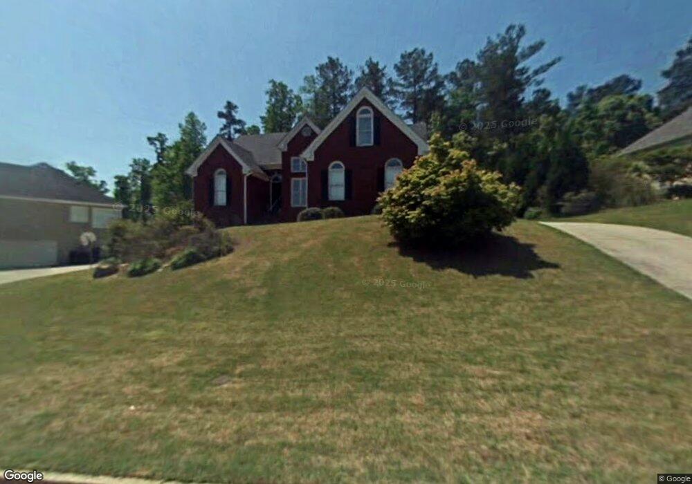
2199 Cluster Ln Unit 340 Grayson, GA 30017
Estimated Value: $420,706 - $482,000
5
Beds
3
Baths
3,415
Sq Ft
$133/Sq Ft
Est. Value
About This Home
This home is located at 2199 Cluster Ln Unit 340, Grayson, GA 30017 and is currently estimated at $453,677, approximately $132 per square foot. 2199 Cluster Ln Unit 340 is a home located in Gwinnett County with nearby schools including W.J. Cooper Elementary School, McConnell Middle School, and Archer High School.
Ownership History
Date
Name
Owned For
Owner Type
Purchase Details
Closed on
Nov 19, 2024
Sold by
Hill Melvin
Bought by
Roberts Hill Latoya
Current Estimated Value
Purchase Details
Closed on
Jan 30, 2019
Sold by
Grayson Susan M
Bought by
Hill Melvin and Roberts-Hill Latoya
Home Financials for this Owner
Home Financials are based on the most recent Mortgage that was taken out on this home.
Original Mortgage
$229,500
Interest Rate
4.5%
Mortgage Type
New Conventional
Purchase Details
Closed on
Jun 14, 1999
Sold by
Leach Homes Inc
Bought by
Adams Carlton A
Home Financials for this Owner
Home Financials are based on the most recent Mortgage that was taken out on this home.
Original Mortgage
$152,000
Interest Rate
7.04%
Mortgage Type
New Conventional
Create a Home Valuation Report for This Property
The Home Valuation Report is an in-depth analysis detailing your home's value as well as a comparison with similar homes in the area
Home Values in the Area
Average Home Value in this Area
Purchase History
| Date | Buyer | Sale Price | Title Company |
|---|---|---|---|
| Roberts Hill Latoya | -- | -- | |
| Hill Melvin | $255,000 | -- | |
| Adams Carlton A | $168,900 | -- |
Source: Public Records
Mortgage History
| Date | Status | Borrower | Loan Amount |
|---|---|---|---|
| Previous Owner | Hill Melvin | $229,500 | |
| Previous Owner | Adams Carlton A | $152,000 |
Source: Public Records
Tax History
| Year | Tax Paid | Tax Assessment Tax Assessment Total Assessment is a certain percentage of the fair market value that is determined by local assessors to be the total taxable value of land and additions on the property. | Land | Improvement |
|---|---|---|---|---|
| 2025 | $1,741 | $169,360 | $30,000 | $139,360 |
| 2024 | $1,738 | $174,640 | $30,000 | $144,640 |
| 2023 | $1,738 | $182,920 | $31,200 | $151,720 |
| 2022 | $1,699 | $156,920 | $31,200 | $125,720 |
| 2021 | $1,684 | $124,320 | $22,000 | $102,320 |
| 2020 | $3,857 | $102,000 | $19,600 | $82,400 |
| 2019 | $3,292 | $102,000 | $19,600 | $82,400 |
| 2018 | $2,879 | $82,720 | $15,200 | $67,520 |
| 2016 | $2,693 | $73,200 | $14,000 | $59,200 |
| 2015 | $2,717 | $73,200 | $14,000 | $59,200 |
| 2014 | -- | $70,000 | $11,400 | $58,600 |
Source: Public Records
Map
Nearby Homes
- 2249 Cluster Ln
- 1518 High Falls Ln
- 1498 High Falls Ln
- 1488 High Falls Ln
- 1478 High Falls Ln
- 1499 High Falls Ln
- 391 Tallulah Ln
- 1489 High Falls Ln
- 401 Tallulah Ln
- 1458 High Falls Ln
- 411 Tallulah Ln
- 1428 High Falls Ln
- 406 Tallulah Ln
- 416 Tallulah Ln
- 193 Soseby Lake Ln
- 203 Soseby Lake Ln
- 1408 High Falls Ln
- 213 Soseby Lake Ln
- 486 Tallulah Ln
- 496 Tallulah Ln
- 2199 Cluster Ln
- 2209 Cluster Ln Unit 4
- 2179 Cluster Ln
- 2219 Cluster Ln
- 1861 Flowering Dr
- 2159 Cluster Ln
- 506 Wine Cluster Ct
- 2188 Cluster Ln Unit 4
- 2149 Cluster Ln
- 1871 Flowering Dr
- 2229 Cluster Ln Unit 4
- 2178 Cluster Ln
- 1862 Flowering Dr
- 1862 Flowering Dr Unit 355
- 501 Wine Cluster Ct
- 2139 Cluster Ln
- 2168 Cluster Ln
- 516 Wine Cluster Ct
- 510 Cluster Ct
- 2239 Cluster Ln
Your Personal Tour Guide
Ask me questions while you tour the home.