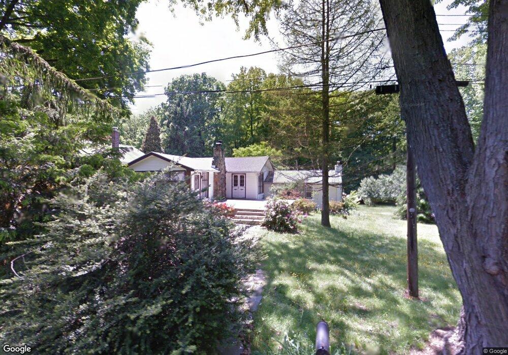
22 Abberly Rd Thornton, PA 19373
Estimated Value: $365,000 - $575,000
2
Beds
1
Bath
1,742
Sq Ft
$281/Sq Ft
Est. Value
About This Home
This home is located at 22 Abberly Rd, Thornton, PA 19373 and is currently estimated at $488,733, approximately $280 per square foot. 22 Abberly Rd is a home located in Delaware County with nearby schools including Sarah W Starkweather Elementary School, Stetson Middle School, and Bayard Rustin High School.
Ownership History
Date
Name
Owned For
Owner Type
Purchase Details
Closed on
Jan 8, 1997
Sold by
Mills Mary C
Bought by
Shea Ronald A
Current Estimated Value
Home Financials for this Owner
Home Financials are based on the most recent Mortgage that was taken out on this home.
Original Mortgage
$118,000
Outstanding Balance
$12,366
Interest Rate
7.36%
Mortgage Type
Purchase Money Mortgage
Estimated Equity
$476,367
Create a Home Valuation Report for This Property
The Home Valuation Report is an in-depth analysis detailing your home's value as well as a comparison with similar homes in the area
Home Values in the Area
Average Home Value in this Area
Purchase History
| Date | Buyer | Sale Price | Title Company |
|---|---|---|---|
| Shea Ronald A | $147,500 | Commonwealth Land Title Ins |
Source: Public Records
Mortgage History
| Date | Status | Borrower | Loan Amount |
|---|---|---|---|
| Open | Shea Ronald A | $118,000 |
Source: Public Records
Tax History Compared to Growth
Tax History
| Year | Tax Paid | Tax Assessment Tax Assessment Total Assessment is a certain percentage of the fair market value that is determined by local assessors to be the total taxable value of land and additions on the property. | Land | Improvement |
|---|---|---|---|---|
| 2025 | $3,525 | $269,270 | $122,670 | $146,600 |
| 2024 | $3,525 | $269,270 | $122,670 | $146,600 |
| 2023 | $3,483 | $269,270 | $122,670 | $146,600 |
| 2022 | $3,370 | $269,270 | $122,670 | $146,600 |
| 2021 | $5,294 | $269,270 | $122,670 | $146,600 |
| 2020 | $3,376 | $155,430 | $65,260 | $90,170 |
| 2019 | $3,348 | $155,430 | $65,260 | $90,170 |
| 2018 | $3,234 | $155,430 | $0 | $0 |
| 2017 | $3,157 | $155,430 | $0 | $0 |
| 2016 | $853 | $155,430 | $0 | $0 |
| 2015 | $870 | $155,430 | $0 | $0 |
| 2014 | $870 | $155,430 | $0 | $0 |
Source: Public Records
Map
Nearby Homes
- 403 Brinton Lake Rd
- 16 Fox Lair Ln
- 111 Mill Rd
- 14 Stoneridge Rd
- 36 Judith Ln
- 16 Creekview Cir
- 17 Judith Ln
- 12 Cherry Farm Ln
- 56 Old Barn Dr
- 34 Oakland Rd Unit C2
- 0 Baltimore Pike
- 186 Dilworthtown Rd
- 101 Harvey Ln
- 1384 Faucett Dr
- 131 Dilworthtown Rd
- 1707 Painters Crossing Unit 1707
- 530 Woodhaven Rd
- 1407 Painters Crossing
- 1412 Painters Crossing Unit 1412
- 111 Harvey Ln