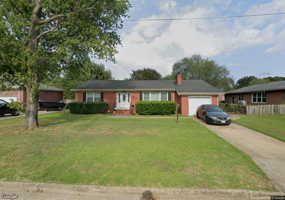
22 Astor Dr Newport News, VA 23608
Reservoir NeighborhoodEstimated Value: $300,000 - $321,000
4
Beds
2
Baths
1,547
Sq Ft
$199/Sq Ft
Est. Value
About This Home
This home is located at 22 Astor Dr, Newport News, VA 23608 and is currently estimated at $307,681, approximately $198 per square foot. 22 Astor Dr is a home located in Newport News City with nearby schools including Stoney Run Elementary School, Mary Passage Middle School, and Denbigh High School.
Ownership History
Date
Name
Owned For
Owner Type
Purchase Details
Closed on
Jan 10, 2024
Sold by
Morris Darnett A and Arnold Renee N
Bought by
Arnold Renee N
Current Estimated Value
Purchase Details
Closed on
Aug 25, 2014
Sold by
Stewart Freddie B
Bought by
Morris Darnett A
Home Financials for this Owner
Home Financials are based on the most recent Mortgage that was taken out on this home.
Original Mortgage
$120,000
Interest Rate
4.14%
Mortgage Type
New Conventional
Purchase Details
Closed on
May 8, 2007
Sold by
Zolcinski Charles E
Bought by
Stewart Freddie B
Home Financials for this Owner
Home Financials are based on the most recent Mortgage that was taken out on this home.
Original Mortgage
$184,500
Interest Rate
6.18%
Mortgage Type
New Conventional
Create a Home Valuation Report for This Property
The Home Valuation Report is an in-depth analysis detailing your home's value as well as a comparison with similar homes in the area
Home Values in the Area
Average Home Value in this Area
Purchase History
| Date | Buyer | Sale Price | Title Company |
|---|---|---|---|
| Arnold Renee N | -- | None Listed On Document | |
| Morris Darnett A | $180,000 | -- | |
| Stewart Freddie B | $205,000 | -- |
Source: Public Records
Mortgage History
| Date | Status | Borrower | Loan Amount |
|---|---|---|---|
| Previous Owner | Morris Darnett A | $120,000 | |
| Previous Owner | Stewart Freddie B | $184,500 |
Source: Public Records
Tax History Compared to Growth
Tax History
| Year | Tax Paid | Tax Assessment Tax Assessment Total Assessment is a certain percentage of the fair market value that is determined by local assessors to be the total taxable value of land and additions on the property. | Land | Improvement |
|---|---|---|---|---|
| 2025 | $3,337 | $291,100 | $66,600 | $224,500 |
| 2024 | $3,190 | $270,300 | $60,500 | $209,800 |
| 2023 | $3,241 | $262,200 | $60,500 | $201,700 |
| 2022 | $2,983 | $236,300 | $60,500 | $175,800 |
| 2021 | $2,534 | $207,700 | $55,000 | $152,700 |
| 2020 | $2,480 | $191,200 | $50,000 | $141,200 |
| 2019 | $2,377 | $183,200 | $50,000 | $133,200 |
| 2018 | $2,312 | $178,100 | $50,000 | $128,100 |
| 2017 | $2,195 | $168,500 | $50,000 | $118,500 |
| 2016 | $2,135 | $163,900 | $50,000 | $113,900 |
| 2015 | $2,129 | $163,900 | $50,000 | $113,900 |
| 2014 | $1,858 | $163,900 | $50,000 | $113,900 |
Source: Public Records
Map
Nearby Homes
- 22 Lakeshore Dr
- 3 Iris Ln
- 17 Sandra Dr
- 20 Sandra Dr
- 364 Thorncliff Dr
- 91 W Rexford Dr
- 5 Cathy Dr
- 26 Woodhaven Rd
- 139 Linda Dr
- 103 Woodhaven Rd
- 112 W Rexford Dr
- 104 W Rexford Dr
- 32 Garfield Dr
- 114 Ashton Green Blvd
- 502 Thorncliff Dr Unit 104
- 564 Candle Ln
- 564 Candle Ln Unit 302
- 469 Revolution Ln
- 306 Wythe St
- 516 Thorncliff Dr Unit 201