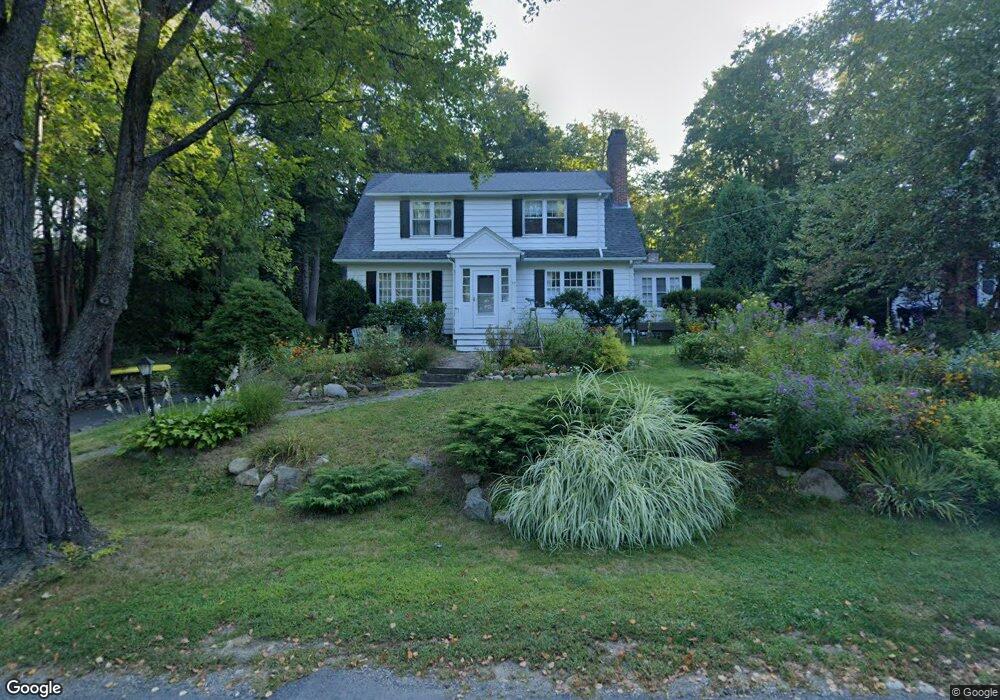
22 Blue Hills Rd Amherst, MA 01002
Estimated Value: $700,000 - $766,000
4
Beds
2
Baths
2,340
Sq Ft
$309/Sq Ft
Est. Value
About This Home
This home is located at 22 Blue Hills Rd, Amherst, MA 01002 and is currently estimated at $723,009, approximately $308 per square foot. 22 Blue Hills Rd is a home located in Hampshire County with nearby schools including Crocker Farm Elementary School, Amherst Regional Middle School, and Amherst Regional High School.
Ownership History
Date
Name
Owned For
Owner Type
Purchase Details
Closed on
Feb 10, 2023
Sold by
Friedman Lori J
Bought by
Lori J Friedman Ret
Current Estimated Value
Purchase Details
Closed on
Oct 7, 2009
Sold by
Young James E and Friedman Lori J
Bought by
Friedman Lori J
Purchase Details
Closed on
Jul 1, 1993
Sold by
Torpey Paul M and Torpey Leslie A
Bought by
Young James E and Friedman Lori J
Home Financials for this Owner
Home Financials are based on the most recent Mortgage that was taken out on this home.
Original Mortgage
$60,000
Interest Rate
7.46%
Mortgage Type
Purchase Money Mortgage
Purchase Details
Closed on
Aug 1, 1990
Sold by
Stern Robert L
Bought by
Torpey Paul M
Home Financials for this Owner
Home Financials are based on the most recent Mortgage that was taken out on this home.
Original Mortgage
$199,700
Interest Rate
10.02%
Mortgage Type
Purchase Money Mortgage
Create a Home Valuation Report for This Property
The Home Valuation Report is an in-depth analysis detailing your home's value as well as a comparison with similar homes in the area
Home Values in the Area
Average Home Value in this Area
Purchase History
| Date | Buyer | Sale Price | Title Company |
|---|---|---|---|
| Lori J Friedman Ret | -- | None Available | |
| Friedman Lori J | -- | -- | |
| Young James E | $278,000 | -- | |
| Torpey Paul M | $235,000 | -- |
Source: Public Records
Mortgage History
| Date | Status | Borrower | Loan Amount |
|---|---|---|---|
| Previous Owner | Torpey Paul M | $60,000 | |
| Previous Owner | Torpey Paul M | $202,300 | |
| Previous Owner | Torpey Paul M | $24,000 | |
| Previous Owner | Torpey Paul M | $199,700 |
Source: Public Records
Tax History Compared to Growth
Tax History
| Year | Tax Paid | Tax Assessment Tax Assessment Total Assessment is a certain percentage of the fair market value that is determined by local assessors to be the total taxable value of land and additions on the property. | Land | Improvement |
|---|---|---|---|---|
| 2025 | $107 | $595,800 | $206,400 | $389,400 |
| 2024 | $10,429 | $563,400 | $194,700 | $368,700 |
| 2023 | $9,962 | $495,600 | $177,000 | $318,600 |
| 2022 | $9,650 | $453,700 | $161,000 | $292,700 |
| 2021 | $9,186 | $421,000 | $149,000 | $272,000 |
| 2020 | $8,976 | $421,000 | $149,000 | $272,000 |
| 2019 | $8,670 | $397,700 | $149,000 | $248,700 |
| 2018 | $8,407 | $397,700 | $149,000 | $248,700 |
| 2017 | $7,966 | $364,900 | $142,000 | $222,900 |
| 2016 | $7,743 | $364,900 | $142,000 | $222,900 |
| 2015 | $7,495 | $364,900 | $142,000 | $222,900 |
Source: Public Records
Map
Nearby Homes
- 18 N Prospect St
- 65 N Prospect St
- 48 Gray St
- 26 Greenleaves Dr Unit 620
- 161 Chestnut St
- 0 Red Gate Ln Unit 73348273
- 305 Strong St
- 88 Farview Way
- 170 E Hadley Rd Unit 123
- 170 E Hadley Rd Unit 46
- 39 Valley Ln
- 265 Stanley St
- 328 Russell St
- 7 Roosevelt St
- 185 Cherry Ln
- 0 W Pomeroy Ln
- 481 Old Farm Rd
- 53 Pine Grove Unit 53
- 0 Heatherstone Rd
- 96 Logtown Rd