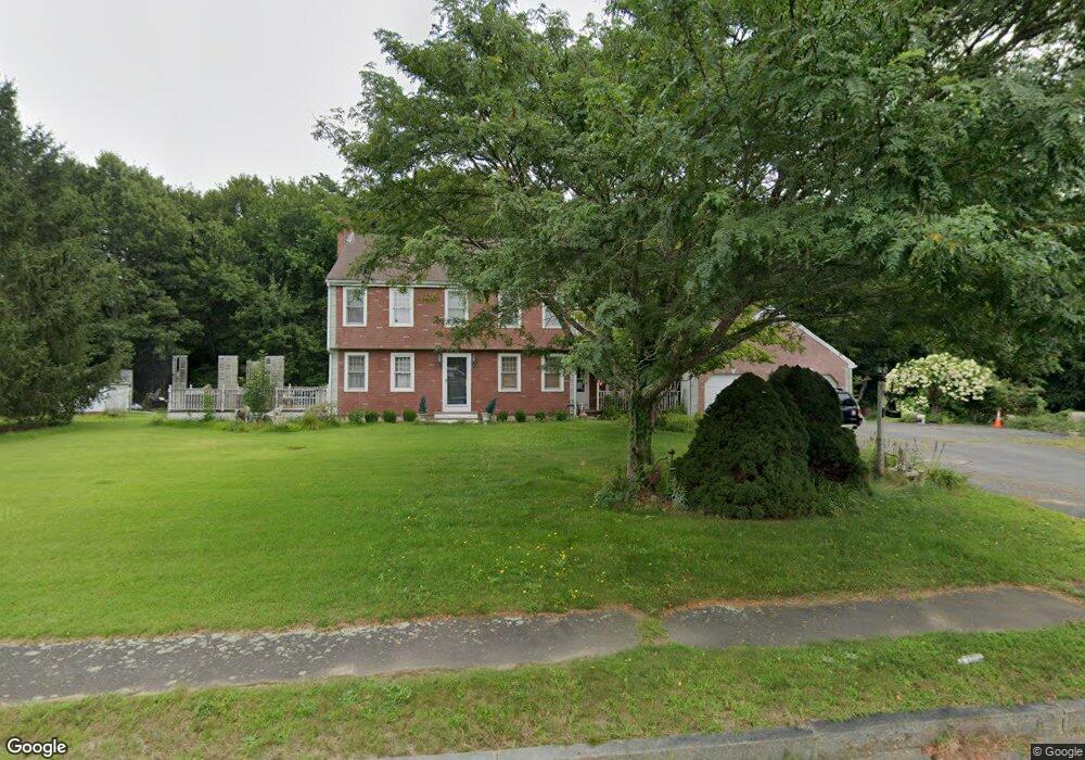
22 Brook Bend Rd Hanson, MA 02341
Estimated Value: $676,139 - $748,000
3
Beds
3
Baths
1,834
Sq Ft
$396/Sq Ft
Est. Value
About This Home
This home is located at 22 Brook Bend Rd, Hanson, MA 02341 and is currently estimated at $727,035, approximately $396 per square foot. 22 Brook Bend Rd is a home located in Plymouth County with nearby schools including Cardinal Cushing Centers.
Ownership History
Date
Name
Owned For
Owner Type
Purchase Details
Closed on
Sep 21, 1992
Sold by
Chase Dev Corp
Bought by
Campbell Brian M and Campbell Mary M
Current Estimated Value
Home Financials for this Owner
Home Financials are based on the most recent Mortgage that was taken out on this home.
Original Mortgage
$135,000
Interest Rate
8.04%
Mortgage Type
Purchase Money Mortgage
Create a Home Valuation Report for This Property
The Home Valuation Report is an in-depth analysis detailing your home's value as well as a comparison with similar homes in the area
Home Values in the Area
Average Home Value in this Area
Purchase History
| Date | Buyer | Sale Price | Title Company |
|---|---|---|---|
| Campbell Brian M | $180,000 | -- |
Source: Public Records
Mortgage History
| Date | Status | Borrower | Loan Amount |
|---|---|---|---|
| Open | Campbell Brian M | $136,000 | |
| Closed | Campbell Brian M | $159,500 | |
| Closed | Campbell Brian M | $135,000 | |
| Closed | Campbell Brian M | $30,000 |
Source: Public Records
Tax History Compared to Growth
Tax History
| Year | Tax Paid | Tax Assessment Tax Assessment Total Assessment is a certain percentage of the fair market value that is determined by local assessors to be the total taxable value of land and additions on the property. | Land | Improvement |
|---|---|---|---|---|
| 2025 | $7,660 | $572,500 | $193,500 | $379,000 |
| 2024 | $7,441 | $556,100 | $187,900 | $368,200 |
| 2023 | $7,211 | $508,500 | $187,900 | $320,600 |
| 2022 | $6,979 | $462,500 | $170,800 | $291,700 |
| 2021 | $8,218 | $414,100 | $164,200 | $249,900 |
| 2020 | $8,029 | $403,400 | $158,600 | $244,800 |
| 2019 | $7,968 | $378,400 | $155,600 | $222,800 |
| 2018 | $5,806 | $366,800 | $149,600 | $217,200 |
| 2017 | $7,099 | $352,200 | $142,500 | $209,700 |
| 2016 | $5,721 | $345,700 | $142,500 | $203,200 |
| 2015 | $5,422 | $340,600 | $142,500 | $198,100 |
Source: Public Records
Map
Nearby Homes
- 37 Brook St
- 842 E Washington St
- 456 Gorwin Dr
- 418 E Washington St
- 15 Elm Place
- 248 E Washington St
- Lot 22 Adams Cir
- 1251 Broadway
- 57 Liberty St
- 41 Gail Rd
- 134 Crescent St
- Lot 5 Princeton Way
- 269 Lakeside Rd
- 553 Center St
- Lot 2 Harvard Rd
- Lot 6 Way
- 168 Spring St
- 456 Maquan St
- 33 Tavern Way
- 436 Center St
- 60 Brook Bend Rd
- 25 Brook Bend Rd
- 21 Arrowhead Dr
- 111 Brook St
- 4 Arrowhead Dr
- 143 Brook St
- 155 Brook St
- 136 Brook St
- 16 Winter Terrace
- 84 Brook Bend Rd
- 83 Brook St
- 38 Winter Terrace
- 45 Arrowhead Dr
- 87 Brook Bend Rd
- 175 Brook St
- 11 Winter Terrace
- 3 Audubon Ln
- 100 Brook Bend Rd
- 75 Brook St
- 5 Audubon Ln