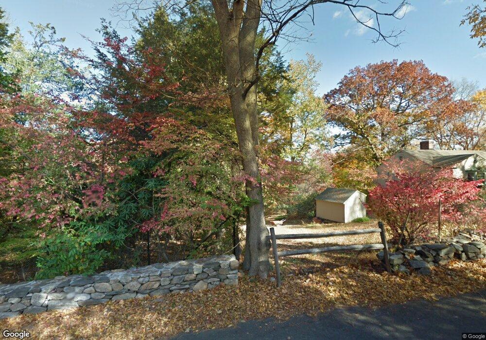
22 Cavalry Rd Westport, CT 06880
Red Coat NeighborhoodEstimated Value: $1,232,182 - $1,737,000
--
Bed
--
Bath
--
Sq Ft
2.27
Acres
About This Home
This home is located at 22 Cavalry Rd, Westport, CT 06880 and is currently estimated at $1,418,394. 22 Cavalry Rd is a home located in Fairfield County with nearby schools including Coleytown Elementary School, Coleytown Middle School, and Staples High School.
Ownership History
Date
Name
Owned For
Owner Type
Purchase Details
Closed on
Jun 12, 2025
Sold by
22 Cavalry Llc
Bought by
Cavalry22 Llc
Current Estimated Value
Purchase Details
Closed on
Dec 19, 2019
Sold by
S E Associates Llc
Bought by
22 Cavalry Llc
Purchase Details
Closed on
Sep 6, 2007
Sold by
Rosen Lance and Rosen Diane
Bought by
Alcyone Zack and Alcyone Anne
Purchase Details
Closed on
Oct 7, 2005
Sold by
Clement Louise Y
Bought by
Rosen Lance and Rosen Diane
Purchase Details
Closed on
May 6, 2005
Sold by
Calvary Road Assoc Llc
Bought by
Perno Ernest
Home Financials for this Owner
Home Financials are based on the most recent Mortgage that was taken out on this home.
Original Mortgage
$800,000
Interest Rate
4.12%
Mortgage Type
Purchase Money Mortgage
Create a Home Valuation Report for This Property
The Home Valuation Report is an in-depth analysis detailing your home's value as well as a comparison with similar homes in the area
Home Values in the Area
Average Home Value in this Area
Purchase History
| Date | Buyer | Sale Price | Title Company |
|---|---|---|---|
| Cavalry22 Llc | $1,250,000 | None Available | |
| Cavalry22 Llc | $1,250,000 | None Available | |
| 22 Cavalry Llc | $625,000 | None Available | |
| 22 Cavalry Llc | $625,000 | None Available | |
| Alcyone Zack | $3,000,000 | -- | |
| Alcyone Zack | $3,000,000 | -- | |
| Rosen Lance | $1,625,000 | -- | |
| Rosen Lance | $1,625,000 | -- | |
| Perno Ernest | $1,800,000 | -- | |
| Perno Ernest | $1,800,000 | -- |
Source: Public Records
Mortgage History
| Date | Status | Borrower | Loan Amount |
|---|---|---|---|
| Previous Owner | Perno Ernest | $800,000 |
Source: Public Records
Tax History Compared to Growth
Tax History
| Year | Tax Paid | Tax Assessment Tax Assessment Total Assessment is a certain percentage of the fair market value that is determined by local assessors to be the total taxable value of land and additions on the property. | Land | Improvement |
|---|---|---|---|---|
| 2025 | $8,513 | $451,400 | $451,400 | $0 |
| 2024 | $8,405 | $451,400 | $451,400 | $0 |
| 2023 | $8,283 | $451,400 | $451,400 | $0 |
| 2022 | $8,157 | $451,400 | $451,400 | $0 |
| 2021 | $8,157 | $451,400 | $451,400 | $0 |
| 2020 | $8,724 | $522,110 | $522,110 | $0 |
| 2019 | $8,803 | $522,110 | $522,110 | $0 |
| 2018 | $8,803 | $522,110 | $522,110 | $0 |
| 2017 | $9,780 | $580,100 | $580,100 | $0 |
| 2016 | $9,780 | $580,100 | $580,100 | $0 |
| 2015 | $9,830 | $543,400 | $543,400 | $0 |
| 2014 | $9,749 | $543,400 | $543,400 | $0 |
Source: Public Records
Map
Nearby Homes
- 40 Hermit Ln
- 4A Newtown Turnpike
- 25 Hermit Ln
- 30 Cavalry Rd
- 17 Huckleberry Ln
- 31 Riverfield Dr
- 4 Good Hill Rd
- 87 Red Coat Rd
- 93 E Meadow Rd
- 10 Twin Falls Ln
- 14 Northfield Dr
- 32 Kettle Creek Rd
- 259 Wilton Rd
- 6 Tulip Tree Ln
- 21 Warnock Dr
- 24 Warnock Dr
- 489 Main St
- 483 Main St
- 10 Wilton Hunt Rd
- 81 Norfield Rd
- 21 Crooked Mile Rd
- 71 Cavalry Rd
- 22 Crooked Mile Rd
- 2 Rebel Rd
- 17 Crooked Mile Rd
- 5 Rebel Rd
- 72 W Branch Rd
- 6 Rebel Rd
- 20 Crooked Mile Rd
- 75 Cavalry Rd
- 54 W Branch Rd
- 59 Cavalry Rd
- 7 Rebel Rd
- 8 Rebel Rd
- 18 Crooked Mile Rd
- 17 Cavalry Rd
- 15 Crooked Mile Rd
- 51 W Branch Rd
- 77 Cavalry Rd
- 13 Crooked Mile Rd