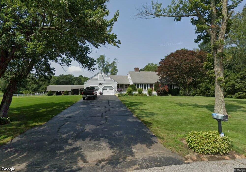
22 Century Farm Rd Sutton, MA 01590
Estimated Value: $581,000 - $732,000
4
Beds
3
Baths
1,778
Sq Ft
$358/Sq Ft
Est. Value
About This Home
This home is located at 22 Century Farm Rd, Sutton, MA 01590 and is currently estimated at $637,168, approximately $358 per square foot. 22 Century Farm Rd is a home located in Worcester County with nearby schools including Sutton Elementary School, Sutton Middle School, and Sutton High School.
Ownership History
Date
Name
Owned For
Owner Type
Purchase Details
Closed on
Jul 12, 2007
Sold by
Ohearn Denise A
Bought by
Century Fox Farm Ft and Ohearn Denise A
Current Estimated Value
Purchase Details
Closed on
Mar 17, 1998
Sold by
Ohearn Denise A and Gustafson Ragnar
Bought by
Ohearn Denise A
Home Financials for this Owner
Home Financials are based on the most recent Mortgage that was taken out on this home.
Original Mortgage
$126,000
Interest Rate
7.03%
Mortgage Type
Purchase Money Mortgage
Create a Home Valuation Report for This Property
The Home Valuation Report is an in-depth analysis detailing your home's value as well as a comparison with similar homes in the area
Home Values in the Area
Average Home Value in this Area
Purchase History
| Date | Buyer | Sale Price | Title Company |
|---|---|---|---|
| Century Fox Farm Ft | -- | -- | |
| Ohearn Denise A | $130,000 | -- |
Source: Public Records
Mortgage History
| Date | Status | Borrower | Loan Amount |
|---|---|---|---|
| Previous Owner | Ohearn Denise A | $151,000 | |
| Previous Owner | Ohearn Denise A | $40,000 | |
| Previous Owner | Ohearn Denise A | $126,000 |
Source: Public Records
Tax History Compared to Growth
Tax History
| Year | Tax Paid | Tax Assessment Tax Assessment Total Assessment is a certain percentage of the fair market value that is determined by local assessors to be the total taxable value of land and additions on the property. | Land | Improvement |
|---|---|---|---|---|
| 2025 | $7,127 | $592,900 | $217,100 | $375,800 |
| 2024 | $6,902 | $544,300 | $204,100 | $340,200 |
| 2023 | $6,777 | $489,300 | $187,300 | $302,000 |
| 2022 | $6,125 | $403,500 | $148,300 | $255,200 |
| 2021 | $6,748 | $391,900 | $148,300 | $243,600 |
| 2020 | $358 | $382,700 | $148,300 | $234,400 |
| 2019 | $5,977 | $361,800 | $148,300 | $213,500 |
| 2018 | $5,797 | $350,300 | $148,300 | $202,000 |
| 2017 | $5,605 | $339,700 | $133,100 | $206,600 |
| 2016 | $5,551 | $332,800 | $133,100 | $199,700 |
| 2015 | $5,399 | $323,700 | $133,100 | $190,600 |
| 2014 | $5,376 | $318,500 | $140,100 | $178,400 |
Source: Public Records
Map
Nearby Homes
- 24 Manchaug Rd
- 354 W Sutton Rd
- 31 Douglas Rd
- 21 Hutchinson Rd
- 186 8 Lots Rd
- 7 Fuller Rd
- 8 Turk Hollow Rd
- 31 Central Turnpike
- 51 Central Turnpike
- 265 Mendon Rd
- 63 Uxbridge Rd
- 7 Tower Hill Rd
- 43A Southwick Rd
- 29 Winwood Rd
- 18 Lakeshore Dr
- 34R Tucker Ln
- 242 Boston Rd
- 1 Burbank Rd
- 24 Cote Ln
- 35 &33 Sutton Ave