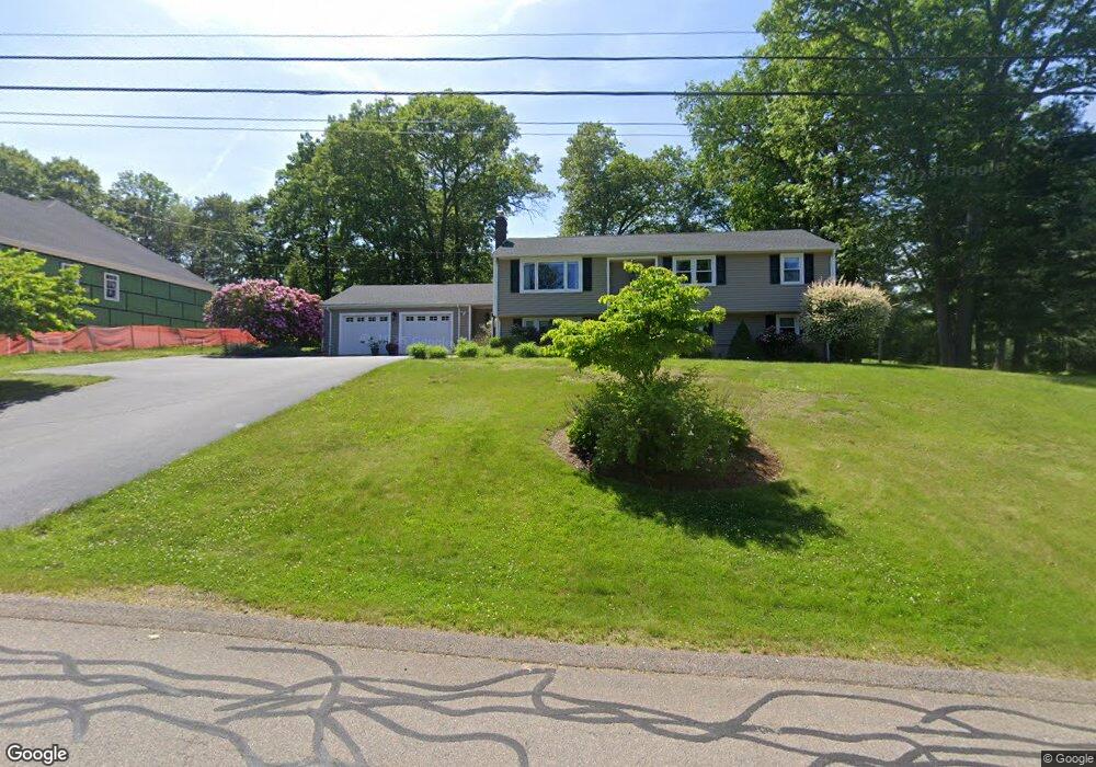
22 Charles Dr Canton, MA 02021
Estimated Value: $934,374 - $1,084,000
3
Beds
2
Baths
2,707
Sq Ft
$366/Sq Ft
Est. Value
About This Home
This home is located at 22 Charles Dr, Canton, MA 02021 and is currently estimated at $990,594, approximately $365 per square foot. 22 Charles Dr is a home located in Norfolk County with nearby schools including Canton High School, St. John the Evangelist School, and Beacon Scholastic Academy.
Ownership History
Date
Name
Owned For
Owner Type
Purchase Details
Closed on
May 1, 2003
Sold by
Comer William M
Bought by
Antonelli Audra D
Current Estimated Value
Home Financials for this Owner
Home Financials are based on the most recent Mortgage that was taken out on this home.
Original Mortgage
$183,770
Outstanding Balance
$80,044
Interest Rate
5.82%
Mortgage Type
Purchase Money Mortgage
Estimated Equity
$910,550
Purchase Details
Closed on
Oct 21, 2002
Sold by
Burke Patrick J
Bought by
Comer William M
Home Financials for this Owner
Home Financials are based on the most recent Mortgage that was taken out on this home.
Original Mortgage
$144,000
Interest Rate
6.18%
Mortgage Type
Purchase Money Mortgage
Purchase Details
Closed on
Feb 19, 1993
Sold by
George Lewis M and George Eleanor M
Bought by
Folkes John B and Folkes Maria P
Home Financials for this Owner
Home Financials are based on the most recent Mortgage that was taken out on this home.
Original Mortgage
$108,000
Interest Rate
8.06%
Mortgage Type
Purchase Money Mortgage
Create a Home Valuation Report for This Property
The Home Valuation Report is an in-depth analysis detailing your home's value as well as a comparison with similar homes in the area
Home Values in the Area
Average Home Value in this Area
Purchase History
| Date | Buyer | Sale Price | Title Company |
|---|---|---|---|
| Antonelli Audra D | $188,000 | -- | |
| Comer William M | $180,000 | -- | |
| Folkes John B | $212,000 | -- |
Source: Public Records
Mortgage History
| Date | Status | Borrower | Loan Amount |
|---|---|---|---|
| Open | Folkes John B | $100,000 | |
| Open | Antonelli Audra D | $183,770 | |
| Previous Owner | Comer William M | $144,000 | |
| Previous Owner | Folkes John B | $125,000 | |
| Previous Owner | Folkes John B | $35,000 | |
| Previous Owner | Folkes John B | $108,000 |
Source: Public Records
Tax History
| Year | Tax Paid | Tax Assessment Tax Assessment Total Assessment is a certain percentage of the fair market value that is determined by local assessors to be the total taxable value of land and additions on the property. | Land | Improvement |
|---|---|---|---|---|
| 2025 | $8,382 | $847,500 | $370,000 | $477,500 |
| 2024 | $8,128 | $815,200 | $355,800 | $459,400 |
| 2023 | $7,943 | $751,500 | $355,800 | $395,700 |
| 2022 | $7,463 | $657,500 | $338,800 | $318,700 |
| 2021 | $7,316 | $599,700 | $308,000 | $291,700 |
| 2020 | $7,035 | $575,200 | $293,300 | $281,900 |
| 2019 | $6,891 | $555,700 | $266,600 | $289,100 |
| 2018 | $6,688 | $538,500 | $256,400 | $282,100 |
| 2017 | $6,756 | $528,200 | $251,400 | $276,800 |
| 2016 | $6,592 | $515,400 | $245,200 | $270,200 |
| 2015 | $6,431 | $501,600 | $238,100 | $263,500 |
Source: Public Records
Map
Nearby Homes
- 22 Oakdale Rd
- 42 Oakdale Rd
- 36 Cedarcrest Rd
- 74 Cedarcrest Rd
- 78 Cedarcrest Rd
- 300 Chapman St
- 1904 Washington St
- 9 Evergreen Cir
- 25 Edward St
- 26 Pequit St
- 1 Sassamon St
- 8 Audubon Way
- 865 Washington St Unit 6
- 35 Turnpike St
- 6 Audubon Way Unit 6
- 20 Audubon Way Unit 205
- 20 Audubon Way Unit 302
- 20 Audubon Way Unit 109
- 20 Audubon Way Unit 408
- 20 Audubon Way Unit 210
Your Personal Tour Guide
Ask me questions while you tour the home.