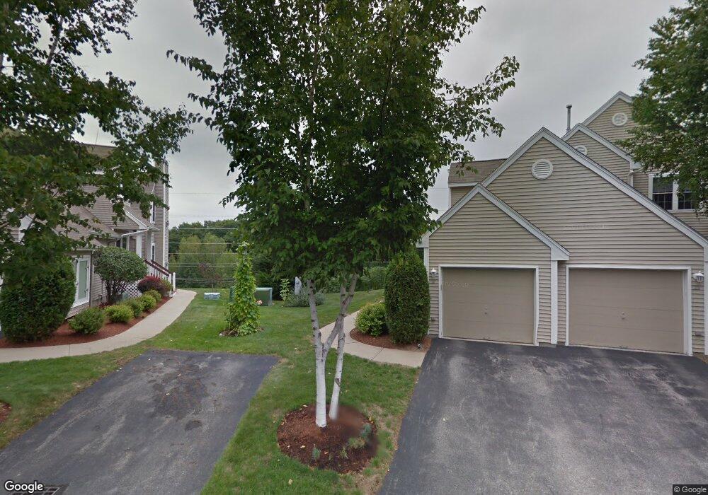
22 Chatham Dr Bedford, NH 03110
Bedford NeighborhoodEstimated Value: $467,916 - $499,000
2
Beds
2
Baths
1,293
Sq Ft
$378/Sq Ft
Est. Value
About This Home
This home is located at 22 Chatham Dr, Bedford, NH 03110 and is currently estimated at $489,229, approximately $378 per square foot. 22 Chatham Dr is a home located in Hillsborough County with nearby schools including Mckelvie Intermediate School, Ross A. Lurgio Middle School, and Bedford High School.
Ownership History
Date
Name
Owned For
Owner Type
Purchase Details
Closed on
Nov 3, 2016
Sold by
Dunkle Patrick
Bought by
Scott F Keller Ret
Current Estimated Value
Purchase Details
Closed on
Dec 1, 2014
Sold by
Keelan Mary E
Bought by
Dunkle Diane Stratton and Dunkle Patrick
Purchase Details
Closed on
Jan 6, 2006
Sold by
Tobey Francis C and Tobey Susan E
Bought by
Keelan John P and Keelan Mary E
Home Financials for this Owner
Home Financials are based on the most recent Mortgage that was taken out on this home.
Original Mortgage
$50,000
Interest Rate
6.27%
Mortgage Type
Unknown
Create a Home Valuation Report for This Property
The Home Valuation Report is an in-depth analysis detailing your home's value as well as a comparison with similar homes in the area
Home Values in the Area
Average Home Value in this Area
Purchase History
| Date | Buyer | Sale Price | Title Company |
|---|---|---|---|
| Scott F Keller Ret | $239,933 | -- | |
| Scott F Keller Ret | $239,933 | -- | |
| Dunkle Diane Stratton | $213,000 | -- | |
| Dunkle Diane Stratton | $213,000 | -- | |
| Keelan John P | $285,000 | -- | |
| Keelan John P | $285,000 | -- |
Source: Public Records
Mortgage History
| Date | Status | Borrower | Loan Amount |
|---|---|---|---|
| Previous Owner | Keelan John P | $50,000 | |
| Closed | Keelan John P | $0 |
Source: Public Records
Tax History Compared to Growth
Tax History
| Year | Tax Paid | Tax Assessment Tax Assessment Total Assessment is a certain percentage of the fair market value that is determined by local assessors to be the total taxable value of land and additions on the property. | Land | Improvement |
|---|---|---|---|---|
| 2024 | $6,669 | $421,800 | $0 | $421,800 |
| 2023 | $6,243 | $421,800 | $0 | $421,800 |
| 2022 | $4,817 | $273,700 | $0 | $273,700 |
| 2021 | $4,691 | $273,700 | $0 | $273,700 |
| 2020 | $4,923 | $245,900 | $0 | $245,900 |
| 2019 | $4,660 | $245,900 | $0 | $245,900 |
| 2018 | $4,578 | $224,400 | $0 | $224,400 |
| 2017 | $4,243 | $224,400 | $0 | $224,400 |
| 2016 | $4,100 | $183,300 | $0 | $183,300 |
| 2015 | $4,172 | $183,300 | $0 | $183,300 |
| 2014 | $4,124 | $183,300 | $0 | $183,300 |
| 2013 | $4,064 | $183,300 | $0 | $183,300 |
Source: Public Records
Map
Nearby Homes
- 3670 Old Brown Ave
- 57 Dixwell St
- 4243 Brown Ave
- 57 Sebbins Pond Dr
- 5 Crosswoods Path Blvd Unit B4
- 395 Brent St
- 115 Back River Rd
- 67 Pullman St
- 19 Bow St
- 305 Trolley St
- 14 Bernards Rd
- 7 Saint Andrews Dr
- 5 Webster Rd
- 707 Brent St
- 161 County Rd
- 55 Camelot Dr
- lot 719-1 & 2 Sheffield Rd
- 924 Brent St
- 190 Litchfield Rd
- 6 Boulder Way