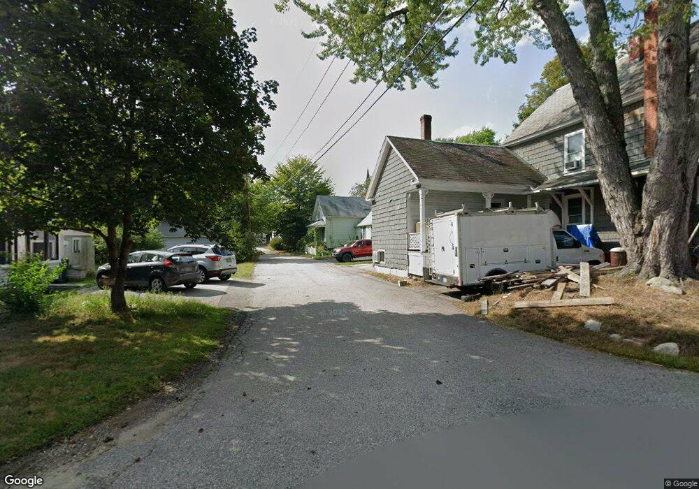
22 Clark Ct Wilton, NH 03086
Estimated Value: $347,435 - $386,000
3
Beds
3
Baths
1,221
Sq Ft
$307/Sq Ft
Est. Value
About This Home
This home is located at 22 Clark Ct, Wilton, NH 03086 and is currently estimated at $374,859, approximately $307 per square foot. 22 Clark Ct is a home with nearby schools including Florence Rideout Elementary School, Wilton-Lyndeborough Cooperative Middle School, and Wilton-Lyndeborough Cooperative High School.
Ownership History
Date
Name
Owned For
Owner Type
Purchase Details
Closed on
Aug 6, 2021
Sold by
Vickers Jill M
Bought by
Kilgore Kevin D
Current Estimated Value
Purchase Details
Closed on
Oct 26, 2001
Sold by
Booton Christopher A and Booton Jessica R
Bought by
Vickers-Kilgore Jill M
Home Financials for this Owner
Home Financials are based on the most recent Mortgage that was taken out on this home.
Original Mortgage
$126,000
Interest Rate
6.86%
Mortgage Type
Purchase Money Mortgage
Create a Home Valuation Report for This Property
The Home Valuation Report is an in-depth analysis detailing your home's value as well as a comparison with similar homes in the area
Home Values in the Area
Average Home Value in this Area
Purchase History
| Date | Buyer | Sale Price | Title Company |
|---|---|---|---|
| Kilgore Kevin D | -- | None Available | |
| Vickers-Kilgore Jill M | $140,000 | -- |
Source: Public Records
Mortgage History
| Date | Status | Borrower | Loan Amount |
|---|---|---|---|
| Previous Owner | Vickers-Kilgore Jill M | $17,500 | |
| Previous Owner | Vickers-Kilgore Jill M | $126,000 |
Source: Public Records
Tax History
| Year | Tax Paid | Tax Assessment Tax Assessment Total Assessment is a certain percentage of the fair market value that is determined by local assessors to be the total taxable value of land and additions on the property. | Land | Improvement |
|---|---|---|---|---|
| 2025 | $5,666 | $210,000 | $85,700 | $124,300 |
| 2024 | $5,223 | $210,000 | $85,700 | $124,300 |
| 2023 | $4,662 | $210,000 | $85,700 | $124,300 |
| 2022 | $4,339 | $210,000 | $85,700 | $124,300 |
| 2021 | $4,036 | $210,000 | $85,700 | $124,300 |
| 2020 | $4,094 | $139,300 | $63,600 | $75,700 |
| 2019 | $4,045 | $139,300 | $63,600 | $75,700 |
| 2018 | $3,842 | $139,300 | $63,600 | $75,700 |
| 2017 | $3,785 | $139,300 | $63,600 | $75,700 |
| 2016 | $3,669 | $139,300 | $63,600 | $75,700 |
| 2015 | $3,443 | $130,700 | $63,900 | $66,800 |
| 2014 | $3,372 | $130,700 | $63,900 | $66,800 |
| 2013 | $3,403 | $130,800 | $63,900 | $66,900 |
Source: Public Records
Map
Nearby Homes
- 303 Eastview Dr
- 134 Falcon Ridge Rd Unit 23
- 25 Burns Hill Rd
- 33 Falcon Ridge Rd Unit 33
- F-88-7 Aria Hill Dr
- F-88-11 Aria Hill Dr
- F-88-12 Aria Hill Dr
- 85 Intervale Rd
- F88-9 McGettigan Rd
- F/88-5 McGettigan Rd
- F/88-4 McGettigan Rd
- 415 Savage Rd
- 545 Elm St Unit 10
- F88-10 McGettigan Rd
- Lots 4 & 7 Gibbons & Robbins Rd
- 58-2 Davisville Rd
- 294 Mason Rd
- 13 Dow Rd
- 21 Singer Brook Rd
- 51 Singer Brook Rd