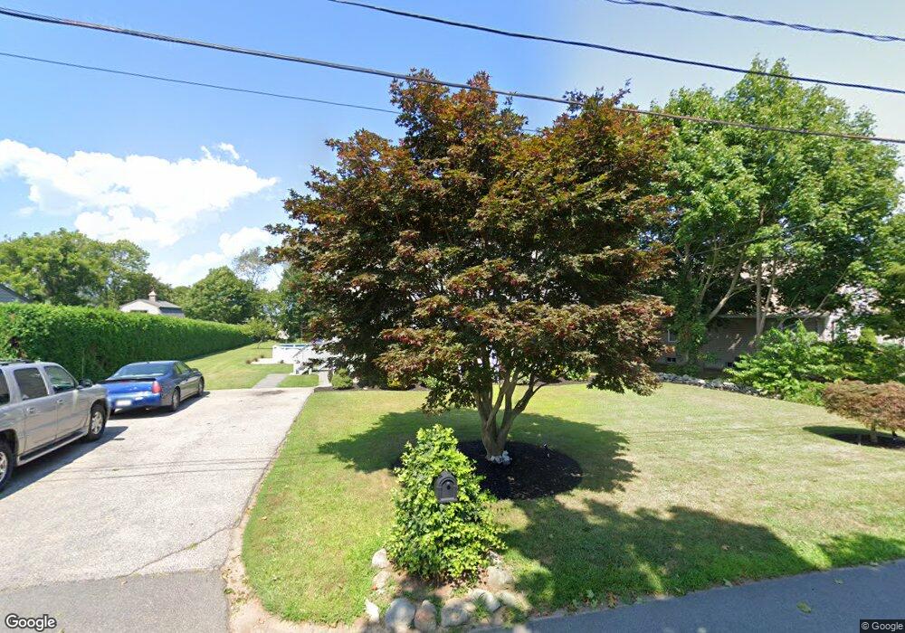
22 Compos St Somerset, MA 02726
Somerset Historic Village NeighborhoodEstimated Value: $568,274 - $645,000
4
Beds
2
Baths
1,638
Sq Ft
$364/Sq Ft
Est. Value
About This Home
This home is located at 22 Compos St, Somerset, MA 02726 and is currently estimated at $596,319, approximately $364 per square foot. 22 Compos St is a home located in Bristol County with nearby schools including North Elementary School and Somerset Middle School.
Ownership History
Date
Name
Owned For
Owner Type
Purchase Details
Closed on
Feb 25, 2014
Sold by
Correia Michael J and Correia Lisa M
Bought by
Correia Lisa M
Current Estimated Value
Home Financials for this Owner
Home Financials are based on the most recent Mortgage that was taken out on this home.
Original Mortgage
$195,000
Outstanding Balance
$147,834
Interest Rate
4.5%
Mortgage Type
New Conventional
Estimated Equity
$448,486
Purchase Details
Closed on
Oct 31, 1997
Sold by
Berge Paul V and Berge Karen M
Bought by
Correia Michael J and Coury Lisa M
Purchase Details
Closed on
Apr 29, 1992
Sold by
Simmons Roy H and Simmons Rachel B
Bought by
Berge Paul and Henatow Karen M
Create a Home Valuation Report for This Property
The Home Valuation Report is an in-depth analysis detailing your home's value as well as a comparison with similar homes in the area
Home Values in the Area
Average Home Value in this Area
Purchase History
| Date | Buyer | Sale Price | Title Company |
|---|---|---|---|
| Correia Lisa M | -- | -- | |
| Correia Lisa M | -- | -- | |
| Correia Lisa M | -- | -- | |
| Correia Michael J | $158,000 | -- | |
| Correia Michael J | $158,000 | -- | |
| Berge Paul | $50,000 | -- |
Source: Public Records
Mortgage History
| Date | Status | Borrower | Loan Amount |
|---|---|---|---|
| Open | Correia Lisa M | $195,000 | |
| Closed | Berge Paul | $195,000 | |
| Previous Owner | Berge Paul | $195,000 |
Source: Public Records
Tax History Compared to Growth
Tax History
| Year | Tax Paid | Tax Assessment Tax Assessment Total Assessment is a certain percentage of the fair market value that is determined by local assessors to be the total taxable value of land and additions on the property. | Land | Improvement |
|---|---|---|---|---|
| 2025 | $6,059 | $455,600 | $189,000 | $266,600 |
| 2024 | $5,704 | $446,000 | $189,000 | $257,000 |
| 2023 | $5,014 | $395,400 | $164,400 | $231,000 |
| 2022 | $4,346 | $327,000 | $143,000 | $184,000 |
| 2021 | $4,388 | $298,900 | $130,000 | $168,900 |
| 2020 | $4,399 | $289,000 | $130,000 | $159,000 |
| 2019 | $4,955 | $271,500 | $130,000 | $141,500 |
| 2018 | $4,640 | $273,600 | $130,000 | $143,600 |
| 2017 | $4,501 | $258,700 | $124,000 | $134,700 |
| 2016 | $4,530 | $258,700 | $124,000 | $134,700 |
| 2015 | $4,206 | $242,400 | $118,400 | $124,000 |
| 2014 | $5,794 | $239,900 | $115,000 | $124,900 |
Source: Public Records
Map
Nearby Homes
- 0 Palmer St
- 22 Riverside Dr
- 3076 County St
- 259 Lynch Ave
- 107 Manchester Ave
- 435 Fairway Dr
- 2798 Elm St
- 53 Riley Ave
- 112 Rounseville Ave
- 95 Samson Ave
- 602 Regan Rd
- 190 Gibbs St
- 3 Beach St
- 65 Marvel St
- 418 Hart St
- 35 Water St
- 5455 N Main St Unit 14B
- 5455 N Main St Unit 12A
- 5455 N Main St Unit 18A
- 345 Chace St