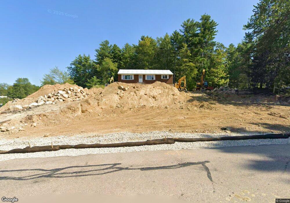
22 Conant Rd Nashua, NH 03062
Southwest Nashua NeighborhoodEstimated Value: $469,883 - $529,000
2
Beds
1
Bath
1,344
Sq Ft
$367/Sq Ft
Est. Value
About This Home
This home is located at 22 Conant Rd, Nashua, NH 03062 and is currently estimated at $492,721, approximately $366 per square foot. 22 Conant Rd is a home located in Hillsborough County with nearby schools including Main Dunstable School, Elm Street Middle School, and Nashua High School South.
Create a Home Valuation Report for This Property
The Home Valuation Report is an in-depth analysis detailing your home's value as well as a comparison with similar homes in the area
Home Values in the Area
Average Home Value in this Area
Tax History Compared to Growth
Tax History
| Year | Tax Paid | Tax Assessment Tax Assessment Total Assessment is a certain percentage of the fair market value that is determined by local assessors to be the total taxable value of land and additions on the property. | Land | Improvement |
|---|---|---|---|---|
| 2024 | $6,713 | $422,200 | $167,000 | $255,200 |
| 2023 | $7,024 | $385,300 | $145,700 | $239,600 |
| 2022 | $6,962 | $385,300 | $145,700 | $239,600 |
| 2021 | $6,402 | $275,700 | $97,100 | $178,600 |
| 2020 | $6,234 | $275,700 | $97,100 | $178,600 |
| 2019 | $5,999 | $275,700 | $97,100 | $178,600 |
| 2018 | $5,848 | $275,700 | $97,100 | $178,600 |
| 2017 | $5,491 | $212,900 | $77,400 | $135,500 |
| 2016 | $5,337 | $212,900 | $77,400 | $135,500 |
| 2015 | $5,227 | $213,100 | $77,600 | $135,500 |
| 2014 | $5,125 | $213,100 | $77,600 | $135,500 |
Source: Public Records
Map
Nearby Homes
- 9 Michelle Dr
- 375 Main Dunstable Rd
- 25 Cortez Dr Unit U57
- 16 Laurel Ct Unit U320
- 4 Henry David Dr Unit 203
- 47 Dogwood Dr Unit U202
- 30 Gendron St
- 5 Wilderness Dr
- 8 Althea Ln Unit U26
- 12 Spring Cove Rd Unit U103
- 40 Spring Cove Rd Unit U117
- 23 Glen Dr
- 2 Wakefield Dr
- 15 Westray Dr
- 247 Main Dunstable Rd
- 300 Candlewood Park Unit 336
- 42 Woodfield St
- 11 Norma Dr Unit U30
- 23 Parkhurst Dr
- 20 Martha St