22 Country Ln Dennis Port, MA 02639
Dennis Port NeighborhoodEstimated Value: $505,000 - $592,000
2
Beds
1
Bath
1,161
Sq Ft
$473/Sq Ft
Est. Value
About This Home
This home is located at 22 Country Ln, Dennis Port, MA 02639 and is currently estimated at $549,487, approximately $473 per square foot. 22 Country Ln is a home located in Barnstable County with nearby schools including Dennis-Yarmouth Regional High School and St. Pius X. School.
Ownership History
Date
Name
Owned For
Owner Type
Purchase Details
Closed on
Oct 15, 2021
Sold by
Daniel R Lawlor Lt
Bought by
Lawlor Ft
Current Estimated Value
Purchase Details
Closed on
Sep 17, 2012
Sold by
Lawlor Daniel R and Lawlor Annellen
Bought by
Daniel R Lawlor Lt
Purchase Details
Closed on
Nov 19, 2010
Sold by
Foss Barry M and Foss Stephen F
Bought by
Lawlor Daniel R and Lawlor Annellen
Purchase Details
Closed on
Aug 24, 2004
Sold by
Foss Anne
Bought by
Foss Anne and Foss Barry M
Create a Home Valuation Report for This Property
The Home Valuation Report is an in-depth analysis detailing your home's value as well as a comparison with similar homes in the area
Home Values in the Area
Average Home Value in this Area
Purchase History
| Date | Buyer | Sale Price | Title Company |
|---|---|---|---|
| Lawlor Ft | -- | None Available | |
| Daniel R Lawlor Lt | -- | -- | |
| Lawlor Daniel R | $210,000 | -- | |
| Foss Anne | -- | -- |
Source: Public Records
Tax History Compared to Growth
Tax History
| Year | Tax Paid | Tax Assessment Tax Assessment Total Assessment is a certain percentage of the fair market value that is determined by local assessors to be the total taxable value of land and additions on the property. | Land | Improvement |
|---|---|---|---|---|
| 2025 | $2,149 | $496,300 | $142,800 | $353,500 |
| 2024 | $2,060 | $469,300 | $145,400 | $323,900 |
| 2023 | $1,993 | $426,700 | $132,200 | $294,500 |
| 2022 | $1,954 | $349,000 | $132,300 | $216,700 |
| 2021 | $1,788 | $296,600 | $116,700 | $179,900 |
| 2020 | $1,708 | $280,000 | $116,700 | $163,300 |
| 2019 | $1,602 | $259,600 | $114,500 | $145,100 |
| 2018 | $1,527 | $240,900 | $109,000 | $131,900 |
| 2017 | $1,455 | $236,600 | $109,000 | $127,600 |
| 2016 | $1,495 | $228,900 | $121,100 | $107,800 |
| 2015 | $1,465 | $228,900 | $121,100 | $107,800 |
| 2014 | $1,300 | $204,700 | $96,900 | $107,800 |
Source: Public Records
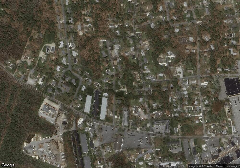
Map
Nearby Homes
- 9 Country Ln
- 47 Telegraph Rd Unit 1
- 12 Candlewood Ln Unit 2-9
- 10 Candlewood Ln Unit 2-1
- 141 Division St
- 141 Division St
- 78 Upper County Rd Unit A&B
- 78 Upper County Rd
- 24 Indian Trail
- 11 Lane Rd
- 73 Division St
- 12 Cross St
- 268 Main St
- 104 Toms Path
- 45 Route 28
- 104 Toms Path
- 91 Depot Rd W
- 40 Willow St
- 72 Bassett Ln
- 9 Bells Neck Rd Unit 10
- 18 Country Ln
- 28 Country Ln
- 25 Country Ln
- 21 Country Ln
- 261 Depot St
- 32 Center St
- 32 Country Ln
- 14 Country Ln
- 277 Depot St
- 31 Country Ln
- 283 Depot St
- 259 Depot St
- 36 Country Ln
- 20 Auburn Ct
- 35 Country Ln
- 174 Upper County Rd Unit U1-10
- 166 Upper County Rd Unit 1-9
- 25 Upper County Rd
- 166 Upper County Rd Unit 1-8
- 174 Upper County Rd Unit 1-5