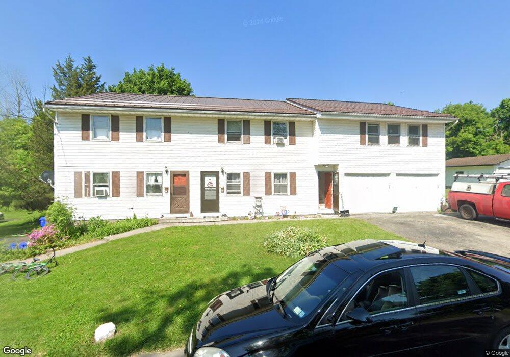
22 Durant Place Fairport, NY 14450
Estimated Value: $446,000 - $540,000
6
Beds
3
Baths
3,910
Sq Ft
$128/Sq Ft
Est. Value
About This Home
This home is located at 22 Durant Place, Fairport, NY 14450 and is currently estimated at $499,667, approximately $127 per square foot. 22 Durant Place is a home located in Monroe County with nearby schools including Dudley School, Northside School, and Johanna Perrin Middle School.
Ownership History
Date
Name
Owned For
Owner Type
Purchase Details
Closed on
May 14, 2024
Sold by
Masters Richard M and Masters Richard
Bought by
Dali Capital Group Llc
Current Estimated Value
Home Financials for this Owner
Home Financials are based on the most recent Mortgage that was taken out on this home.
Original Mortgage
$425,000
Interest Rate
6.79%
Mortgage Type
New Conventional
Purchase Details
Closed on
Feb 6, 2013
Sold by
Masters Richard F and Masters Janet S
Bought by
Masters Richard M
Create a Home Valuation Report for This Property
The Home Valuation Report is an in-depth analysis detailing your home's value as well as a comparison with similar homes in the area
Home Values in the Area
Average Home Value in this Area
Purchase History
| Date | Buyer | Sale Price | Title Company |
|---|---|---|---|
| Dali Capital Group Llc | $200,000 | Stewart Title Insurance Compan | |
| Masters Richard M | -- | None Available |
Source: Public Records
Mortgage History
| Date | Status | Borrower | Loan Amount |
|---|---|---|---|
| Closed | Dali Capital Group Llc | $425,000 |
Source: Public Records
Tax History Compared to Growth
Tax History
| Year | Tax Paid | Tax Assessment Tax Assessment Total Assessment is a certain percentage of the fair market value that is determined by local assessors to be the total taxable value of land and additions on the property. | Land | Improvement |
|---|---|---|---|---|
| 2024 | $15,836 | $193,000 | $35,500 | $157,500 |
| 2023 | $15,836 | $193,000 | $35,500 | $157,500 |
| 2022 | $8,504 | $193,000 | $35,500 | $157,500 |
| 2021 | $8,524 | $193,000 | $35,500 | $157,500 |
| 2020 | $6,570 | $193,000 | $35,500 | $157,500 |
| 2019 | $5,830 | $193,000 | $26,600 | $166,400 |
| 2018 | $6,574 | $193,000 | $26,600 | $166,400 |
| 2017 | $3,731 | $185,600 | $26,600 | $159,000 |
| 2016 | $5,830 | $185,600 | $26,600 | $159,000 |
| 2015 | -- | $185,600 | $26,600 | $159,000 |
| 2014 | -- | $185,600 | $26,600 | $159,000 |
Source: Public Records
Map
Nearby Homes
- 70 High St
- 158 N Main St
- 3 Packetts Glen
- 15 Whitney Farms Cir
- 146 S Main St
- 603 Watson Rd
- 76 - 78 Summit St
- 187 S Main St
- 57 Broxbourne Dr
- 1331 Whitney Rd E
- 31 Dewey Ave
- 112 Roselawn Ave
- 21 Hulburt Ave
- 4 Arbor Ct
- 43 Hollingham Rise
- 64 Miles Ave
- 2 Foxpointe Cir
- 10 Lonesome Rd
- 6 Canterbury Ct
- 14 Old Winding Ln
- 0 Durant Place
- Lot #0 Durant Place
- 23 lot Durant Place
- 1 Durant Place
- 16 Durant Place
- 26 Durant Place
- 21 Durant Place
- 23 Durant Place
- 23 Durant Place
- 14 Durant Place
- 13 Durant Place
- 27 Durant Place
- 9 Durant Place
- 8 Durant Place
- 7 Durant Place
- 19 Durant Place
- 110 High St
- 122 High St
- 114 High St
- 118 High St