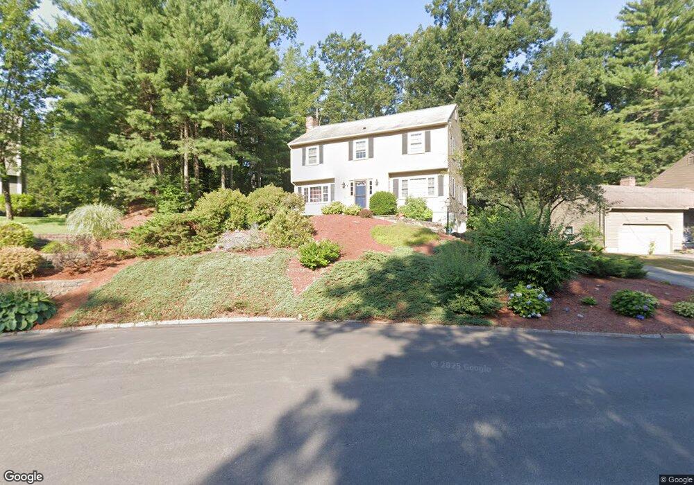
22 Durham St Nashua, NH 03063
Northwest Nashua NeighborhoodEstimated Value: $551,055 - $623,000
4
Beds
3
Baths
1,776
Sq Ft
$325/Sq Ft
Est. Value
About This Home
This home is located at 22 Durham St, Nashua, NH 03063 and is currently estimated at $578,014, approximately $325 per square foot. 22 Durham St is a home located in Hillsborough County with nearby schools including Birch Hill Elementary School, Elm Street Middle School, and Nashua High School North.
Ownership History
Date
Name
Owned For
Owner Type
Purchase Details
Closed on
May 31, 2005
Sold by
Gary L Haugh Ft
Bought by
Linstad Jeffrey H and Linstad Janice K
Current Estimated Value
Home Financials for this Owner
Home Financials are based on the most recent Mortgage that was taken out on this home.
Original Mortgage
$283,920
Interest Rate
5.94%
Mortgage Type
Purchase Money Mortgage
Create a Home Valuation Report for This Property
The Home Valuation Report is an in-depth analysis detailing your home's value as well as a comparison with similar homes in the area
Home Values in the Area
Average Home Value in this Area
Purchase History
| Date | Buyer | Sale Price | Title Company |
|---|---|---|---|
| Linstad Jeffrey H | $354,900 | -- |
Source: Public Records
Mortgage History
| Date | Status | Borrower | Loan Amount |
|---|---|---|---|
| Open | Linstad Jeffrey H | $270,000 | |
| Closed | Linstad Jeffrey H | $283,920 |
Source: Public Records
Tax History
| Year | Tax Paid | Tax Assessment Tax Assessment Total Assessment is a certain percentage of the fair market value that is determined by local assessors to be the total taxable value of land and additions on the property. | Land | Improvement |
|---|---|---|---|---|
| 2024 | $8,045 | $506,000 | $159,500 | $346,500 |
| 2023 | $7,678 | $421,200 | $127,600 | $293,600 |
| 2022 | $7,611 | $421,200 | $127,600 | $293,600 |
| 2021 | $7,105 | $306,000 | $89,300 | $216,700 |
| 2020 | $6,919 | $306,000 | $89,300 | $216,700 |
| 2019 | $6,659 | $306,000 | $89,300 | $216,700 |
| 2018 | $6,490 | $306,000 | $89,300 | $216,700 |
| 2017 | $7,043 | $273,100 | $72,900 | $200,200 |
| 2016 | $6,847 | $273,100 | $72,900 | $200,200 |
| 2015 | $6,699 | $273,100 | $72,900 | $200,200 |
| 2014 | $6,568 | $273,100 | $72,900 | $200,200 |
Source: Public Records
Map
Nearby Homes
- 15 Dover St
- 21 Sims St
- 111 Coburn Ave Unit 33
- 44 Coburn Woods Unit 44
- 24 Sanborn Dr
- 6 Cornwall Ln Unit 7
- 7 Meghan Dr Unit U22
- 2 Natick St
- 21 Parkhurst Dr
- 44 Broad St
- 107 Bartemus Trail Unit U478
- 7 Mount Vernon St
- 63 Tampa St
- 8 Althea Ln Unit U26
- 39 Bartemus Trail Unit U449
- 60 Norma Dr Unit U35
- 247 Main Dunstable Rd
- 172 Ledge St
- 36 Profile Cir
- 668 W Hollis St
Your Personal Tour Guide
Ask me questions while you tour the home.