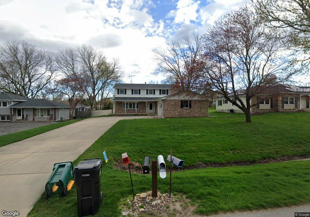
22 E Anchor Dr Oswego, IL 60543
Northwest Oswego NeighborhoodEstimated Value: $389,000 - $449,000
About This Home
This home is located at 22 E Anchor Dr, Oswego, IL 60543 and is currently estimated at $424,953, approximately $172 per square foot. 22 E Anchor Dr is a home located in Kendall County with nearby schools including Fox Chase Elementary School, Traughber Junior High School, and Oswego High School.
Ownership History
We collect this data history from publicly available records. To have your information removed, we recommend requesting removal directly through your county’s website.
Purchase Details
Purchase Details
Home Values in the Area
Average Home Value in this Area
Purchase History
We collect this data history from publicly available records. To have your information removed, we recommend requesting removal directly through your county’s website.
| Date | Buyer | Sale Price | Title Company |
|---|---|---|---|
| -- | Attorney | ||
| $156,000 | -- |
Tax History
We collect this data history from publicly available records. To have your information removed, we recommend requesting removal directly through your county’s website.
| Year | Tax Paid | Tax Assessment Tax Assessment Total Assessment is a certain percentage of the fair market value that is determined by local assessors to be the total taxable value of land and additions on the property. | Land | Improvement |
|---|---|---|---|---|
| 2025 | $9,592 | $129,726 | $24,673 | $105,053 |
| 2024 | $9,592 | $127,182 | $24,189 | $102,993 |
| 2023 | $8,721 | $113,555 | $21,597 | $91,958 |
| 2022 | $8,721 | $104,179 | $19,814 | $84,365 |
| 2021 | $8,411 | $97,364 | $18,518 | $78,846 |
| 2020 | $8,775 | $100,376 | $19,091 | $81,285 |
| 2019 | $8,916 | $100,376 | $19,091 | $81,285 |
| 2018 | $8,048 | $87,779 | $16,695 | $71,084 |
| 2017 | $7,917 | $84,403 | $16,053 | $68,350 |
| 2016 | $3,792 | $80,003 | $15,216 | $64,787 |
| 2015 | $3,735 | $75,475 | $14,355 | $61,120 |
| 2014 | -- | $72,572 | $13,803 | $58,769 |
| 2013 | -- | $73,305 | $13,942 | $59,363 |
Map
- 7.43 Acres Vacant La State Route 31
- 5.43 B-3 Commercial State Route 31
- 6 Marlin Dr
- 8 Dolphin Ct
- 1900 Light Rd Unit 202
- 1900 Light Rd Unit 210
- 1415 State Route 31
- 79 Garden Dr
- 119 Garden Dr
- 22 Guilford Rd
- 11 Scarsdale Rd
- 25 Garden Dr Unit 1
- 10 Century Ct
- 123 Boulder Hill Pass
- 4 Barclay Ct
- 46 Ashlawn Ave
- 34 Scarsdale Rd
- 186 River Mist Dr
- 214 Deerpath Dr
- 12 Circle Dr E
Ask me questions while you tour the home.