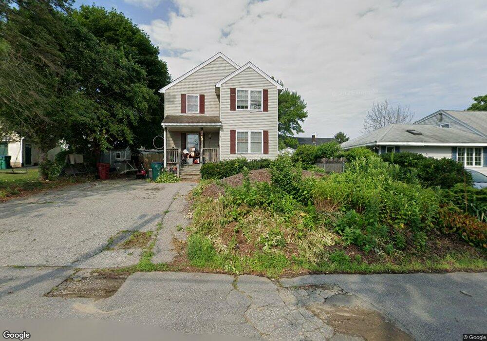
22 Fetherston Ave Lowell, MA 01852
Belvidere NeighborhoodEstimated Value: $440,000 - $611,000
3
Beds
2
Baths
1,522
Sq Ft
$363/Sq Ft
Est. Value
About This Home
This home is located at 22 Fetherston Ave, Lowell, MA 01852 and is currently estimated at $552,008, approximately $362 per square foot. 22 Fetherston Ave is a home located in Middlesex County with nearby schools including Moody Elementary School, Abraham Lincoln Elementary School, and Greenhalge Elementary School.
Ownership History
Date
Name
Owned For
Owner Type
Purchase Details
Closed on
Nov 24, 2021
Sold by
Bernstein Rt
Bought by
Bernstein Leslie
Current Estimated Value
Purchase Details
Closed on
Jul 6, 2001
Sold by
Kilbride Gerald D
Bought by
Universal Dev Llc
Home Financials for this Owner
Home Financials are based on the most recent Mortgage that was taken out on this home.
Original Mortgage
$163,750
Interest Rate
7.21%
Mortgage Type
Purchase Money Mortgage
Create a Home Valuation Report for This Property
The Home Valuation Report is an in-depth analysis detailing your home's value as well as a comparison with similar homes in the area
Home Values in the Area
Average Home Value in this Area
Purchase History
| Date | Buyer | Sale Price | Title Company |
|---|---|---|---|
| Bernstein Leslie | $130,000 | None Available | |
| Universal Dev Llc | $75,500 | -- | |
| Universal Dev Llc | $75,500 | -- |
Source: Public Records
Mortgage History
| Date | Status | Borrower | Loan Amount |
|---|---|---|---|
| Previous Owner | Universal Dev Llc | $163,750 |
Source: Public Records
Tax History Compared to Growth
Tax History
| Year | Tax Paid | Tax Assessment Tax Assessment Total Assessment is a certain percentage of the fair market value that is determined by local assessors to be the total taxable value of land and additions on the property. | Land | Improvement |
|---|---|---|---|---|
| 2025 | $5,394 | $469,900 | $174,900 | $295,000 |
| 2024 | $5,460 | $458,400 | $163,400 | $295,000 |
| 2023 | $5,147 | $414,400 | $142,100 | $272,300 |
| 2022 | $4,591 | $361,800 | $125,200 | $236,600 |
| 2021 | $4,424 | $328,700 | $108,900 | $219,800 |
| 2020 | $4,266 | $319,300 | $108,900 | $210,400 |
| 2019 | $4,198 | $299,000 | $104,000 | $195,000 |
| 2018 | $4,375 | $283,100 | $99,100 | $184,000 |
| 2017 | $3,896 | $261,100 | $88,000 | $173,100 |
| 2016 | $3,955 | $260,900 | $83,800 | $177,100 |
| 2015 | $3,751 | $242,300 | $83,800 | $158,500 |
| 2013 | $3,407 | $227,000 | $86,200 | $140,800 |
Source: Public Records
Map
Nearby Homes
- 16 Wetherbee Ave
- 11 Merrimack Meadows Ln Unit 17
- 78 Merrimack Meadows Ln Unit 78
- 173 Merrimack Meadows Ln Unit 162
- 16 Winding Ln
- 103 Westwind Rd
- 15 Sharyn Cir
- 45 Clark Rd
- 110 Longmeadow Dr
- 100 Merrimack Ave Unit 50
- 100 Merrimack Ave Unit 91
- 26 Luce St
- 45 Luce St
- 251 Clark Rd
- 111 Draper St
- 9 Cobleigh Dr
- 164 Bradley St
- 70 Enfield St
- 4 Glenmere St
- 260 Mansur St
- 30 Fetherston Ave
- 21 Virginia Ave
- 14 Fetherston Ave
- 31 Virginia Ave
- 15 Virginia Ave
- 19 Fetherston Ave
- 35 Virginia Ave
- 40 Fetherston Ave
- 30 Wollaston St
- 46 Florence St
- 36 Florence St
- 3 Fetherston Ave
- 37 Fetherston Ave
- 20 Virginia Ave
- 20 Wollaston St
- 12 Virginia Ave
- 30 Virginia Ave
- 46 Fetherston Ave
- 45 Virginia Ave
- 43 Fetherston Ave