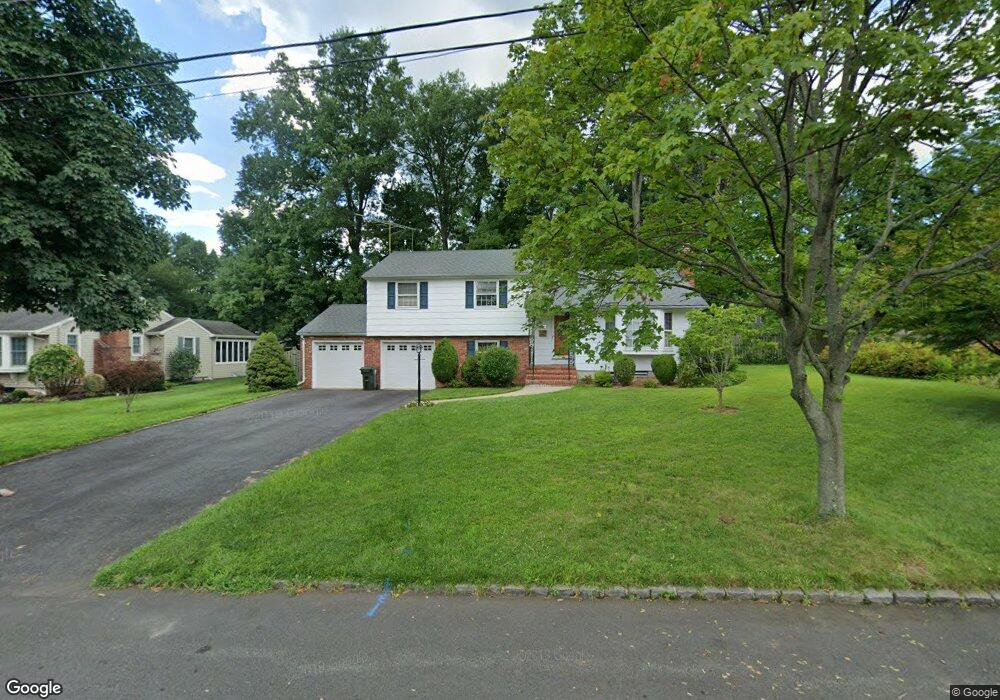
22 Fieldcrest Dr Scotch Plains, NJ 07076
Estimated Value: $647,813 - $843,000
--
Bed
--
Bath
1,713
Sq Ft
$435/Sq Ft
Est. Value
About This Home
This home is located at 22 Fieldcrest Dr, Scotch Plains, NJ 07076 and is currently estimated at $745,203, approximately $435 per square foot. 22 Fieldcrest Dr is a home located in Union County with nearby schools including William J. McGinn Elementary School, Terrill Middle School, and Scotch Plains-Fanwood High School.
Ownership History
Date
Name
Owned For
Owner Type
Purchase Details
Closed on
Jul 18, 2018
Sold by
Monaco Emilio Del and Del Monaco Louise H
Bought by
Bacon Zain J and Bacon Jessica
Current Estimated Value
Home Financials for this Owner
Home Financials are based on the most recent Mortgage that was taken out on this home.
Original Mortgage
$481,124
Outstanding Balance
$422,531
Interest Rate
5.12%
Mortgage Type
FHA
Estimated Equity
$322,672
Purchase Details
Closed on
Jun 12, 1987
Bought by
Delmonaco Emilio and Delmonaco Louise H
Create a Home Valuation Report for This Property
The Home Valuation Report is an in-depth analysis detailing your home's value as well as a comparison with similar homes in the area
Home Values in the Area
Average Home Value in this Area
Purchase History
| Date | Buyer | Sale Price | Title Company |
|---|---|---|---|
| Bacon Zain J | $490,000 | Fidelity National Title | |
| Delmonaco Emilio | $253,500 | -- |
Source: Public Records
Mortgage History
| Date | Status | Borrower | Loan Amount |
|---|---|---|---|
| Open | Bacon Zain J | $481,124 |
Source: Public Records
Tax History Compared to Growth
Tax History
| Year | Tax Paid | Tax Assessment Tax Assessment Total Assessment is a certain percentage of the fair market value that is determined by local assessors to be the total taxable value of land and additions on the property. | Land | Improvement |
|---|---|---|---|---|
| 2025 | $14,004 | $119,000 | $41,300 | $77,700 |
| 2024 | $13,591 | $119,000 | $41,300 | $77,700 |
| 2023 | $13,591 | $119,000 | $41,300 | $77,700 |
| 2022 | $13,429 | $119,000 | $41,300 | $77,700 |
| 2021 | $13,407 | $119,000 | $41,300 | $77,700 |
| 2020 | $13,342 | $119,000 | $41,300 | $77,700 |
| 2019 | $13,244 | $119,000 | $41,300 | $77,700 |
| 2018 | $13,021 | $119,000 | $41,300 | $77,700 |
| 2017 | $12,732 | $119,000 | $41,300 | $77,700 |
| 2016 | $12,487 | $119,000 | $41,300 | $77,700 |
| 2015 | $12,282 | $119,000 | $41,300 | $77,700 |
| 2014 | $11,877 | $119,000 | $41,300 | $77,700 |
Source: Public Records
Map
Nearby Homes
- 2154 W Broad St
- 2116 Newark Ave
- 119 Lamberts Mill Rd
- 1933 W Broad St
- 1933 Mary Ellen Ln
- 2 Brookside Ct
- 1466 Lamberts Mill Rd
- 314 Highgate Ave
- 2212 Shady Ln
- 2314 Longfellow Ave
- 524 Edgar Rd
- 525 Edgar Rd
- 2219 North Ave Unit 6
- 187 King St
- 350 W Dudley Ave
- 345 La Grande Ave
- 120 S Martine Ave
- 5 Robin Rd
- 724 South Ave W Unit 724A
- 614 Dorian Rd
- 20 Fieldcrest Dr
- 24 Fieldcrest Dr
- 1277 Woodside Rd
- 1271 Woodside Rd
- 1283 Woodside Rd
- 29 Fieldcrest Dr
- 18 Fieldcrest Dr
- 19 Fieldcrest Dr
- 1265 Woodside Rd
- 26 Fieldcrest Dr
- 28 Fieldcrest Dr
- 32 Fieldcrest Dr
- 1289 Woodside Rd
- 16 Fieldcrest Dr
- 1272 Woodside Rd
- 1278 Woodside Rd
- 30 Fieldcrest Dr
- 37 Fieldcrest Dr
- 17 Fieldcrest Dr
- 1259 Woodside Rd