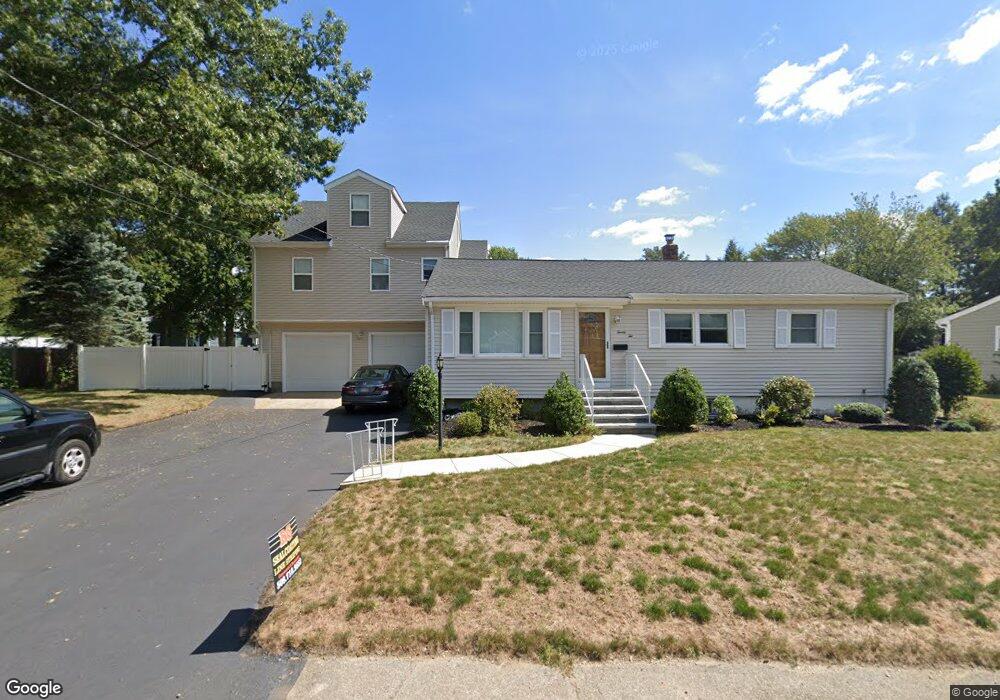
22 Glen Ln Randolph, MA 02368
North Randolph NeighborhoodEstimated Value: $647,000 - $811,000
3
Beds
1
Bath
2,788
Sq Ft
$262/Sq Ft
Est. Value
About This Home
This home is located at 22 Glen Ln, Randolph, MA 02368 and is currently estimated at $729,926, approximately $261 per square foot. 22 Glen Ln is a home located in Norfolk County with nearby schools including Randolph High School.
Ownership History
Date
Name
Owned For
Owner Type
Purchase Details
Closed on
Jan 24, 2024
Sold by
Pierre-Louis Jean A and Pierre-Louis Yvrose A
Bought by
Myjac Ft and Pierre-Louis
Current Estimated Value
Purchase Details
Closed on
Oct 28, 1994
Sold by
Diamond Tr Lenore S
Bought by
Pierre-Louis Jean A and Pierre-Louis Yvrose A
Home Financials for this Owner
Home Financials are based on the most recent Mortgage that was taken out on this home.
Original Mortgage
$97,500
Interest Rate
8.65%
Mortgage Type
Purchase Money Mortgage
Create a Home Valuation Report for This Property
The Home Valuation Report is an in-depth analysis detailing your home's value as well as a comparison with similar homes in the area
Home Values in the Area
Average Home Value in this Area
Purchase History
| Date | Buyer | Sale Price | Title Company |
|---|---|---|---|
| Myjac Ft | -- | None Available | |
| Myjac Ft | -- | None Available | |
| Pierre-Louis Jean A | $130,000 | -- | |
| Pierre-Louis Jean A | $130,000 | -- |
Source: Public Records
Mortgage History
| Date | Status | Borrower | Loan Amount |
|---|---|---|---|
| Previous Owner | Pierre-Louis Jean A | $97,500 |
Source: Public Records
Tax History Compared to Growth
Tax History
| Year | Tax Paid | Tax Assessment Tax Assessment Total Assessment is a certain percentage of the fair market value that is determined by local assessors to be the total taxable value of land and additions on the property. | Land | Improvement |
|---|---|---|---|---|
| 2025 | $8,164 | $703,200 | $253,400 | $449,800 |
| 2024 | $7,524 | $657,100 | $248,300 | $408,800 |
| 2023 | $7,289 | $603,400 | $225,800 | $377,600 |
| 2022 | $7,164 | $526,800 | $188,200 | $338,600 |
| 2021 | $7,343 | $496,800 | $156,900 | $339,900 |
| 2020 | $5,463 | $366,400 | $156,900 | $209,500 |
| 2019 | $5,240 | $349,800 | $149,400 | $200,400 |
| 2018 | $5,153 | $324,500 | $135,800 | $188,700 |
| 2017 | $4,802 | $296,800 | $129,300 | $167,500 |
| 2016 | $4,667 | $268,400 | $117,500 | $150,900 |
| 2015 | $4,529 | $250,200 | $111,900 | $138,300 |
Source: Public Records
Map
Nearby Homes
- 33 Michael Rd
- 10 Michael Rd
- 304 High St
- 232 Canton St Unit 104
- 232 Canton St Unit 112
- 902 Irving Rd Unit 902
- 229 Chestnut St
- 23 Emeline St
- 79 Gold St
- 2 Smith Rd
- 11 Royal Crest Dr Unit 5
- 9 Royal Crest Dr Unit 12
- 12 Webster St
- 7 Webster St
- 43 Emily Jeffers Rd
- 68 High St
- 16 Simmonds Blvd Unit 16
- 20 Simmonds Blvd Unit 20
- 14 Simmonds Blvd Unit 14
- 12 Simmonds Blvd Unit 12